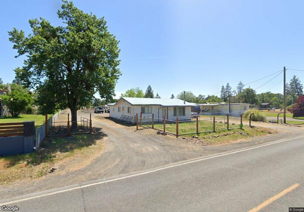
441 Wilson Rd Central Point, OR 97502
Estimated Value: $390,000 - $398,630
3
Beds
2
Baths
1,420
Sq Ft
$277/Sq Ft
Est. Value
About This Home
This home is located at 441 Wilson Rd, Central Point, OR 97502 and is currently estimated at $393,877, approximately $277 per square foot. 441 Wilson Rd is a home located in Jackson County with nearby schools including Jewett Elementary School, Scenic Middle School, and Crater High School.
Ownership History
Date
Name
Owned For
Owner Type
Purchase Details
Closed on
Aug 21, 2009
Sold by
Redhead Bradley and Redhead Brenda
Bought by
Pereira Brandon C and Pereira Meagan N
Current Estimated Value
Home Financials for this Owner
Home Financials are based on the most recent Mortgage that was taken out on this home.
Original Mortgage
$176,739
Outstanding Balance
$113,578
Interest Rate
5.17%
Mortgage Type
FHA
Estimated Equity
$280,299
Purchase Details
Closed on
Mar 1, 2005
Sold by
Self Gregory L and Self Manette L
Bought by
Redhead Bradley and Redhead Brenda
Home Financials for this Owner
Home Financials are based on the most recent Mortgage that was taken out on this home.
Original Mortgage
$219,600
Interest Rate
7.35%
Mortgage Type
Purchase Money Mortgage
Create a Home Valuation Report for This Property
The Home Valuation Report is an in-depth analysis detailing your home's value as well as a comparison with similar homes in the area
Purchase History
| Date | Buyer | Sale Price | Title Company |
|---|---|---|---|
| Pereira Brandon C | $180,000 | Ticor Title | |
| Redhead Bradley | $244,000 | Lawyers Title Ins |
Source: Public Records
Mortgage History
| Date | Status | Borrower | Loan Amount |
|---|---|---|---|
| Open | Pereira Brandon C | $176,739 | |
| Previous Owner | Redhead Bradley | $219,600 |
Source: Public Records
Tax History
| Year | Tax Paid | Tax Assessment Tax Assessment Total Assessment is a certain percentage of the fair market value that is determined by local assessors to be the total taxable value of land and additions on the property. | Land | Improvement |
|---|---|---|---|---|
| 2026 | $2,280 | $186,790 | -- | -- |
| 2025 | $2,228 | $181,350 | $89,940 | $91,410 |
| 2024 | $2,228 | $176,070 | $66,040 | $110,030 |
| 2023 | $2,154 | $170,950 | $64,110 | $106,840 |
| 2022 | $2,108 | $170,950 | $64,110 | $106,840 |
| 2021 | $2,048 | $165,980 | $62,240 | $103,740 |
| 2020 | $1,989 | $161,150 | $60,440 | $100,710 |
| 2019 | $1,943 | $151,910 | $56,960 | $94,950 |
| 2018 | $1,883 | $147,490 | $55,300 | $92,190 |
| 2017 | $1,838 | $147,490 | $55,300 | $92,190 |
| 2016 | $1,784 | $139,030 | $52,110 | $86,920 |
| 2015 | $1,702 | $139,030 | $52,110 | $86,920 |
| 2014 | $1,661 | $131,060 | $49,130 | $81,930 |
Source: Public Records
Map
Nearby Homes
- 225 Wilson Rd
- 2460 Jeremy St
- 1653 Kentucky Ct
- 1409 Twin Rocks Dr
- 1242 Hawk Dr
- 4922 Gebhard Rd
- 875 N Mountain Ave
- 1121 Annalise St
- 4726 Gebhard Rd
- 4722 Gebhard Rd
- 1113 Annalise St
- 446 Beebe Rd
- 4595 Table Rock Rd
- 594 W Gregory Rd
- 4399 Table Rock Rd
- 201 Orchardview Cir
- 4286 Hamrick Rd
- 0 Peninger Rd
- 4404 Biddle Rd
- 1840 E Pine St
Your Personal Tour Guide
Ask me questions while you tour the home.