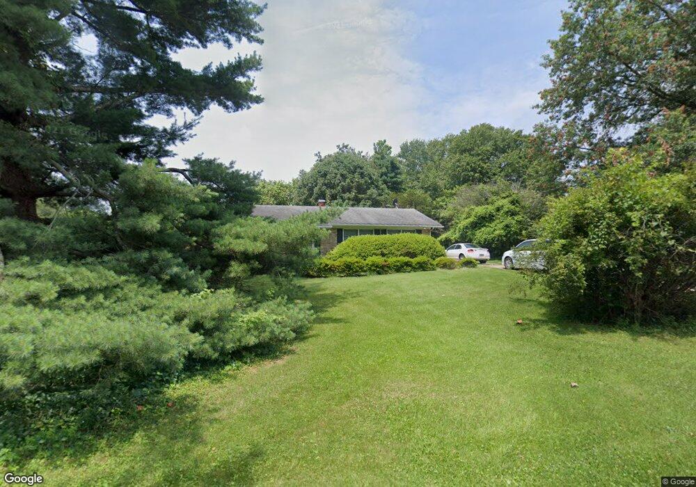
4410 Chapeldale Rd Randallstown, MD 21133
Estimated Value: $260,000 - $343,000
--
Bed
3
Baths
1,368
Sq Ft
$219/Sq Ft
Est. Value
About This Home
This home is located at 4410 Chapeldale Rd, Randallstown, MD 21133 and is currently estimated at $299,032, approximately $218 per square foot. 4410 Chapeldale Rd is a home located in Baltimore County with nearby schools including Hernwood Elementary School, Deer Park Middle Magnet School, and New Town High.
Ownership History
Date
Name
Owned For
Owner Type
Purchase Details
Closed on
Jan 7, 2025
Sold by
Hill Howard E
Bought by
Brown Lorrell and Bernard Allison
Current Estimated Value
Home Financials for this Owner
Home Financials are based on the most recent Mortgage that was taken out on this home.
Original Mortgage
$320,871
Outstanding Balance
$318,604
Interest Rate
6.72%
Mortgage Type
FHA
Estimated Equity
-$19,572
Purchase Details
Closed on
Sep 13, 2000
Sold by
Montier Jones J
Bought by
Hill Howard E
Create a Home Valuation Report for This Property
The Home Valuation Report is an in-depth analysis detailing your home's value as well as a comparison with similar homes in the area
Home Values in the Area
Average Home Value in this Area
Purchase History
| Date | Buyer | Sale Price | Title Company |
|---|---|---|---|
| Brown Lorrell | $265,000 | Charter Title | |
| Hill Howard E | $165,000 | -- |
Source: Public Records
Mortgage History
| Date | Status | Borrower | Loan Amount |
|---|---|---|---|
| Open | Brown Lorrell | $320,871 |
Source: Public Records
Tax History Compared to Growth
Tax History
| Year | Tax Paid | Tax Assessment Tax Assessment Total Assessment is a certain percentage of the fair market value that is determined by local assessors to be the total taxable value of land and additions on the property. | Land | Improvement |
|---|---|---|---|---|
| 2025 | $2,974 | $253,200 | -- | -- |
| 2024 | $2,974 | $241,500 | $82,400 | $159,100 |
| 2023 | $1,479 | $239,167 | $0 | $0 |
| 2022 | $2,904 | $236,833 | $0 | $0 |
| 2021 | $2,553 | $234,500 | $82,400 | $152,100 |
| 2020 | $2,749 | $221,900 | $0 | $0 |
| 2019 | $2,597 | $209,300 | $0 | $0 |
| 2018 | $2,206 | $196,700 | $82,400 | $114,300 |
| 2017 | $2,111 | $190,533 | $0 | $0 |
| 2016 | $2,355 | $184,367 | $0 | $0 |
| 2015 | $2,355 | $178,200 | $0 | $0 |
| 2014 | $2,355 | $178,200 | $0 | $0 |
Source: Public Records
Map
Nearby Homes
- 0 Steffeny Rd
- 10702 Liberty Rd
- 11120 Liberty Rd
- 4107 Holbrook Rd
- 4133 Holbrook Rd
- 11 Liberty Ridge Ct
- 11330 Liberty Rd
- 4129 Holbrook Rd
- 3900 Falls Run Rd
- 5010 Wards Chapel Rd
- 3904 Wards Chapel Rd
- 4615 Deer Park Rd
- 10520 Marriottsville Rd
- 10007 Lyons Mill Rd
- 0 Deer Park Rd
- 10301 Marriottsville Rd
- 9998 Tuscarora Rd
- 3618 Granite Rd
- 38 Millstone Rd
- 4264 Cayuga Rd
- 10901 Liberty Rd
- 10903 Liberty Rd
- 10905 Liberty Rd
- 4411 Chapeldale Rd
- 10829 Liberty Rd
- 10827 Liberty Rd
- 4405 Chapeldale Rd
- 10825 Liberty Rd
- 4403 Chapeldale Rd
- 10830 Liberty Rd
- 4411 Powells Run Rd
- 4 Stansfield Ct
- 4409 Chapeldale Rd
- 10823 Liberty Rd
- 4 LOTS Chapeldale Rd
- 10917 Liberty Rd
- 4401 Chapeldale Rd
- 10828 Liberty Rd
- 5 Stansfield Ct
- 5 Stansfield Ct