4410 Dale Farm Rd Morganton, NC 28655
Estimated Value: $436,000 - $864,192
3
Beds
3
Baths
2,658
Sq Ft
$232/Sq Ft
Est. Value
About This Home
This home is located at 4410 Dale Farm Rd, Morganton, NC 28655 and is currently estimated at $615,798, approximately $231 per square foot. 4410 Dale Farm Rd is a home located in Burke County with nearby schools including Salem Elementary School, Liberty Middle School, and Robert L. Patton High School.
Ownership History
Date
Name
Owned For
Owner Type
Purchase Details
Closed on
Sep 30, 2022
Sold by
Anthony Rudisill David and Long Kimberly
Bought by
Sallstrom William Roy and Sallstrom Angela Partin
Current Estimated Value
Purchase Details
Closed on
Jan 4, 2017
Sold by
Rudisill David Anthony
Bought by
Rudisill David Anthony and Rudisill Kimberly Long
Create a Home Valuation Report for This Property
The Home Valuation Report is an in-depth analysis detailing your home's value as well as a comparison with similar homes in the area
Home Values in the Area
Average Home Value in this Area
Purchase History
| Date | Buyer | Sale Price | Title Company |
|---|---|---|---|
| Sallstrom William Roy | $252,500 | -- | |
| Blythe Joseph Lee | -- | None Listed On Document | |
| Rudisill David Anthony | -- | Attorney |
Source: Public Records
Tax History Compared to Growth
Tax History
| Year | Tax Paid | Tax Assessment Tax Assessment Total Assessment is a certain percentage of the fair market value that is determined by local assessors to be the total taxable value of land and additions on the property. | Land | Improvement |
|---|---|---|---|---|
| 2025 | $3,141 | $562,988 | $130,889 | $432,099 |
| 2024 | $3,094 | $562,988 | $130,889 | $432,099 |
| 2023 | $3,028 | $562,988 | $130,889 | $432,099 |
| 2022 | $2,569 | $393,499 | $109,956 | $283,543 |
| 2021 | $2,469 | $393,499 | $109,956 | $283,543 |
| 2020 | $2,465 | $393,499 | $109,956 | $283,543 |
| 2019 | $2,465 | $393,499 | $109,956 | $283,543 |
| 2018 | $2,342 | $377,678 | $109,956 | $267,722 |
| 2017 | $2,340 | $377,678 | $109,956 | $267,722 |
| 2016 | $2,817 | $369,404 | $109,956 | $259,448 |
| 2015 | $2,814 | $369,404 | $109,956 | $259,448 |
| 2014 | $2,813 | $369,404 | $109,956 | $259,448 |
| 2013 | $2,813 | $369,404 | $109,956 | $259,448 |
Source: Public Records
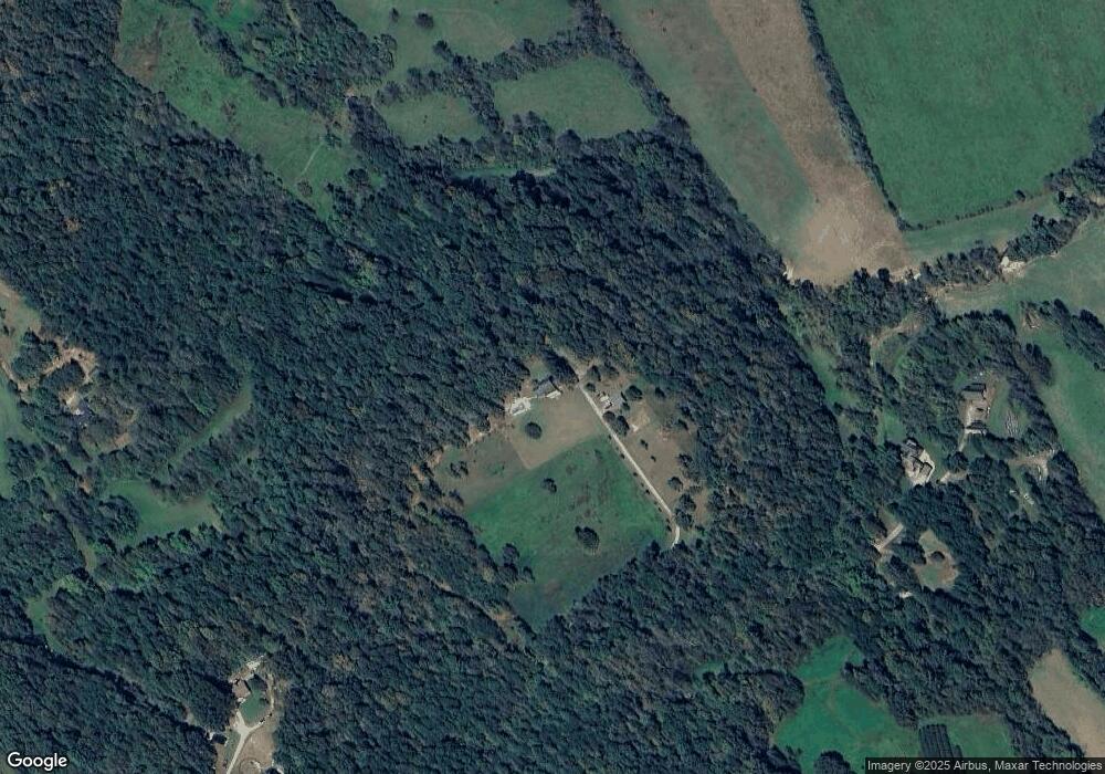
Map
Nearby Homes
- 1940 Paul Shuping Ave
- 0 v/l Saratoga Run
- 2490 Saratoga Run
- 2522 Saratoga Run
- 2433 Saratoga Run
- 2402 Saratoga Run
- 1321 Birch Dr
- V/L Steeplechase Ct
- 2301 Saratoga Run
- 2285 Saratoga Run
- 4777 Jenkins Rd
- 4390 Belmont Dr
- 4305 Burkemont Rd
- 4247 Burkemont Rd
- 1173 Coffey Way
- 4620 Montclaire Ave
- 5562 Jenkins Rd
- 0 Burkemont Rd Unit CAR4247417
- 202 Beacon Ave
- 1805 Burkemont Ave
- 4360 Dale Farm Rd
- 1639 Paul Shuping Ave
- 4507 Dale Farm Rd
- 1889 Jc Propst St
- 4460 Dale Farm Rd
- 1695 Paul Shuping Ave
- 1855 Salem Rd
- 1674 Paul Shuping Ave
- 1739 Paul Shuping Ave
- 1875 Jc Propst St
- 2763 Us 64
- 1719 Paul Shuping Ave
- 2751 US 4 Us 64 Hwy
- 2751 Us 64
- 4575 Dale Farm Rd Unit 4590
- 2679 Us 64
- 2571 Us 64
- 1801 Salem Rd
- 1930 Cullen Dr
- 2655 Us 64