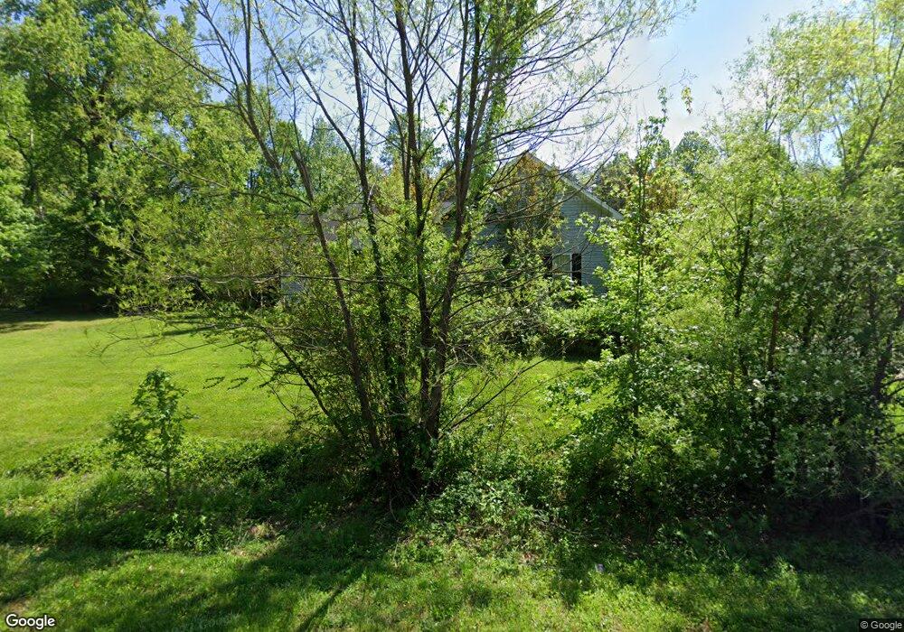
4410 Rolling Oaks Dr Browns Summit, NC 27214
Estimated Value: $300,000 - $343,105
3
Beds
2
Baths
1,951
Sq Ft
$164/Sq Ft
Est. Value
About This Home
This home is located at 4410 Rolling Oaks Dr, Browns Summit, NC 27214 and is currently estimated at $320,776, approximately $164 per square foot. 4410 Rolling Oaks Dr is a home located in Guilford County with nearby schools including Monticello-Brown Summit Elementary School, Northeast Guilford Middle School, and Northeast Guilford High School.
Ownership History
Date
Name
Owned For
Owner Type
Purchase Details
Closed on
Sep 17, 2007
Sold by
Szostak William P
Bought by
Morphew Roger A and Morphew Jill G
Current Estimated Value
Home Financials for this Owner
Home Financials are based on the most recent Mortgage that was taken out on this home.
Original Mortgage
$202,749
Outstanding Balance
$128,695
Interest Rate
6.62%
Mortgage Type
Purchase Money Mortgage
Estimated Equity
$192,081
Create a Home Valuation Report for This Property
The Home Valuation Report is an in-depth analysis detailing your home's value as well as a comparison with similar homes in the area
Home Values in the Area
Average Home Value in this Area
Purchase History
| Date | Buyer | Sale Price | Title Company |
|---|---|---|---|
| Morphew Roger A | $213,500 | None Available |
Source: Public Records
Mortgage History
| Date | Status | Borrower | Loan Amount |
|---|---|---|---|
| Open | Morphew Roger A | $202,749 |
Source: Public Records
Tax History Compared to Growth
Tax History
| Year | Tax Paid | Tax Assessment Tax Assessment Total Assessment is a certain percentage of the fair market value that is determined by local assessors to be the total taxable value of land and additions on the property. | Land | Improvement |
|---|---|---|---|---|
| 2025 | $1,955 | $219,600 | $35,000 | $184,600 |
| 2024 | $1,955 | $219,600 | $35,000 | $184,600 |
| 2023 | $1,955 | $219,600 | $35,000 | $184,600 |
| 2022 | $1,911 | $219,600 | $35,000 | $184,600 |
| 2021 | $1,756 | $201,800 | $25,000 | $176,800 |
| 2020 | $1,756 | $201,800 | $25,000 | $176,800 |
| 2019 | $1,756 | $201,800 | $0 | $0 |
| 2018 | $1,728 | $201,800 | $0 | $0 |
| 2017 | $1,728 | $201,800 | $0 | $0 |
| 2016 | $1,662 | $187,800 | $0 | $0 |
| 2015 | $1,671 | $187,800 | $0 | $0 |
| 2014 | $1,690 | $187,800 | $0 | $0 |
Source: Public Records
Map
Nearby Homes
- 7930-C N Carolina 150
- 4427 N Carolina 150
- 5130 Brahman Trail
- 5034 Shorthorn Way
- 5716 Oakgate Dr
- 4903 Steer Ln
- 209 Rangeland Place
- 7039 McLeansville Rd
- 107 Holstein Ln
- 5506 Tier View Trail
- Cali Plan at Middleton
- Penwell Plan at Middleton
- Winston Plan at Middleton
- Wilmington Plan at Middleton
- Hayden Plan at Middleton
- 4907 Gordon Farm Way
- 4814 Greenbrook Rd
- 4519 Cattle Way
- 3810 Old Berkshire Dr
- 7910 Brooks Lake Rd
- Lot 6 Rolling Oaks Dr
- Lot 5 Rolling Oaks Dr
- 4409 Rolling Oaks Dr
- 4411 Rolling Oaks Dr
- 4408 Rolling Oaks Dr
- 4307 Marchwood Dr
- 4309 Marchwood Dr
- 4305 Marchwood Dr
- 4413 Rolling Oaks Dr
- 4311 Marchwood Dr
- 4303 Marchwood Dr
- 4310 Marchwood Dr
- 4308 Marchwood Dr
- 4406 Rolling Oaks Dr
- 4415 Rolling Oaks Dr
- 4306 Marchwood Dr
- 4418 Rolling Oaks Dr
- 4407 Rolling Oaks Dr
- 4301 Marchwood Dr
- 4417 Rolling Oaks Dr