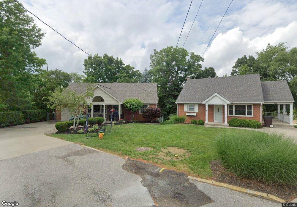
4410 Schroeder Ln Cincinnati, OH 45217
Estimated Value: $271,000 - $340,000
2
Beds
2
Baths
1,879
Sq Ft
$157/Sq Ft
Est. Value
About This Home
This home is located at 4410 Schroeder Ln, Cincinnati, OH 45217 and is currently estimated at $295,369, approximately $157 per square foot. 4410 Schroeder Ln is a home located in Hamilton County with nearby schools including St Bernard Elementary School, St Bernard-Elmwood Place High School, and The New School.
Ownership History
Date
Name
Owned For
Owner Type
Purchase Details
Closed on
Nov 13, 2019
Sold by
Hollmann Christopher M and Hollmann Nancy L
Bought by
Huerkamp Daniel P and Huerkamp Amy J
Current Estimated Value
Home Financials for this Owner
Home Financials are based on the most recent Mortgage that was taken out on this home.
Original Mortgage
$152,000
Outstanding Balance
$102,506
Interest Rate
3.65%
Mortgage Type
New Conventional
Estimated Equity
$192,863
Purchase Details
Closed on
Apr 15, 1993
Sold by
Feichtner Cecilia
Bought by
Hollmann Christopher M
Create a Home Valuation Report for This Property
The Home Valuation Report is an in-depth analysis detailing your home's value as well as a comparison with similar homes in the area
Home Values in the Area
Average Home Value in this Area
Purchase History
| Date | Buyer | Sale Price | Title Company |
|---|---|---|---|
| Huerkamp Daniel P | $190,000 | Stewart Title | |
| Hollmann Christopher M | $82,500 | -- |
Source: Public Records
Mortgage History
| Date | Status | Borrower | Loan Amount |
|---|---|---|---|
| Open | Huerkamp Daniel P | $152,000 |
Source: Public Records
Tax History Compared to Growth
Tax History
| Year | Tax Paid | Tax Assessment Tax Assessment Total Assessment is a certain percentage of the fair market value that is determined by local assessors to be the total taxable value of land and additions on the property. | Land | Improvement |
|---|---|---|---|---|
| 2024 | $4,649 | $78,943 | $11,025 | $67,918 |
| 2023 | $4,851 | $78,943 | $11,025 | $67,918 |
| 2022 | $5,261 | $66,501 | $8,600 | $57,901 |
| 2021 | $5,125 | $66,501 | $8,600 | $57,901 |
| 2020 | $5,077 | $66,501 | $8,600 | $57,901 |
| 2019 | $3,703 | $44,643 | $7,350 | $37,293 |
| 2018 | $3,763 | $44,643 | $7,350 | $37,293 |
| 2017 | $3,483 | $44,643 | $7,350 | $37,293 |
| 2016 | $3,278 | $42,078 | $8,313 | $33,765 |
| 2015 | $3,085 | $42,078 | $8,313 | $33,765 |
| 2014 | $3,083 | $42,078 | $8,313 | $33,765 |
| 2013 | $3,157 | $44,293 | $8,750 | $35,543 |
Source: Public Records
Map
Nearby Homes
- 4409 Sullivan Ave
- 15 Bertus St
- 27 Phillips Ave
- 4342 Vine St
- 421 Jefferson Ave
- 130 Baker Ave
- 208 Mcclelland Ave
- 406 Washington Ave
- 130 Mary Ln
- 320 Mcclelland Ave
- 52 E Mitchell Ave
- 508 Advance Ave
- 535 Church St
- 4241 Vine St
- 4237 Vine St
- 515 Advance Ave
- 4910 Greenlee Ave
- 116 Clinton Springs Ave
- 38 Clinton Springs Ave
- 3923 Wess Park Dr