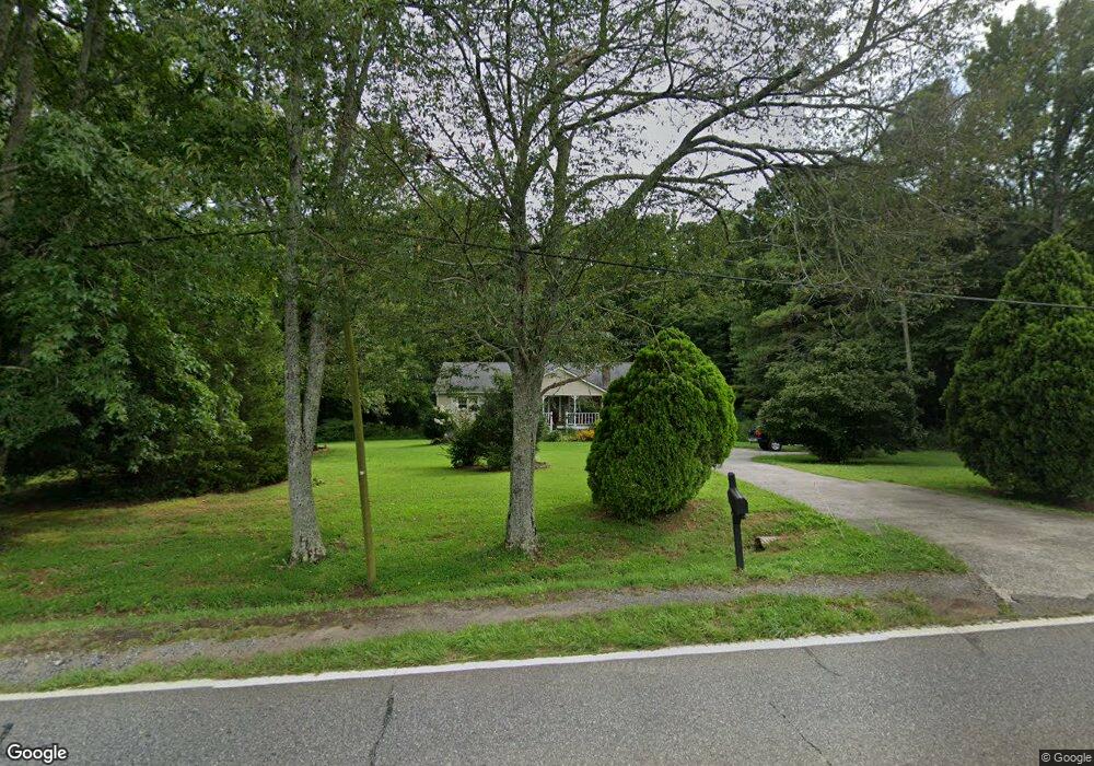
4411 Highway 53 W Jasper, GA 30143
Estimated Value: $313,000 - $395,000
--
Bed
2
Baths
1,610
Sq Ft
$220/Sq Ft
Est. Value
About This Home
This home is located at 4411 Highway 53 W, Jasper, GA 30143 and is currently estimated at $354,983, approximately $220 per square foot. 4411 Highway 53 W is a home located in Pickens County with nearby schools including Hill City Elementary School, Pickens County Middle School, and Pickens County High School.
Ownership History
Date
Name
Owned For
Owner Type
Purchase Details
Closed on
Dec 21, 2017
Sold by
Johnson Barry Keith
Bought by
Johnson Jennifer
Current Estimated Value
Purchase Details
Closed on
Apr 29, 1994
Sold by
Johnson David Brian and Donna Ma
Bought by
Johnson Barry and Johnson Jennifer
Purchase Details
Closed on
Nov 16, 1987
Bought by
Johnson David Brian and Donna Marie
Create a Home Valuation Report for This Property
The Home Valuation Report is an in-depth analysis detailing your home's value as well as a comparison with similar homes in the area
Home Values in the Area
Average Home Value in this Area
Purchase History
| Date | Buyer | Sale Price | Title Company |
|---|---|---|---|
| Johnson Jennifer | -- | -- | |
| Johnson Barry | $41,800 | -- | |
| Johnson David Brian | -- | -- |
Source: Public Records
Tax History Compared to Growth
Tax History
| Year | Tax Paid | Tax Assessment Tax Assessment Total Assessment is a certain percentage of the fair market value that is determined by local assessors to be the total taxable value of land and additions on the property. | Land | Improvement |
|---|---|---|---|---|
| 2024 | $1,804 | $96,172 | $13,904 | $82,268 |
| 2023 | $756 | $42,148 | $8,366 | $33,782 |
| 2022 | $756 | $42,148 | $8,366 | $33,782 |
| 2021 | $809 | $42,148 | $8,366 | $33,782 |
| 2020 | $834 | $42,148 | $8,366 | $33,782 |
| 2019 | $968 | $42,148 | $8,366 | $33,782 |
| 2018 | $861 | $42,148 | $8,366 | $33,782 |
| 2017 | $875 | $42,148 | $8,366 | $33,782 |
| 2016 | $881 | $41,827 | $8,044 | $33,782 |
| 2015 | $861 | $41,827 | $8,044 | $33,782 |
| 2014 | $863 | $41,827 | $8,044 | $33,782 |
| 2013 | -- | $41,826 | $8,044 | $33,782 |
Source: Public Records
Map
Nearby Homes
- 0 Hill City Rd Unit 10547283
- 0 Hill City Rd Unit 7600458
- 54 Oak Creek Ct
- 361 Village Creek Dr
- 2 Village Ridge
- 5 Tally Mountain Rd N
- Lot 4-5 Firetower Rd
- 101 Deer Run
- 255 Deer Run
- 101 Deer Trail
- 164 Mill Creek Dr
- Lot 10 Mill Creek Dr
- 138 White Pine Way
- 001 Hobson Rd
- lot 1 Hobson Rd
- 312 Sterling Rd
- 83 Quiet Water Ct
- 0 W Vista Ridge Pkwy Unit 415225
- 1045 Pleasant Hill Rd
- 755 Harris Rd
- 4500 Highway 53 W
- 114 Pleasant Hill Rd
- 4344 Highway 53 W
- 10 Oak Path Way
- 96 Village Pointe
- 96 Village Creek Dr Unit 28
- 96 Village Creek Dr
- 43 Clubhouse Dr
- 94 Village Ct
- 89 Village Ct
- 82 Oak Creek Ct
- 95 Hill City Rd
- 94 Village Ct
- 124 Pleasant Hill Rd
- 87 Oak Creek Ct W
- 82 Big Oak Dr Unit 13
- 68 Oak Creek Ct W
- 70 Village Ct
- 13 Village Creek Dr
- 0 Hill City Rd Unit 6.0 Acres 8461431