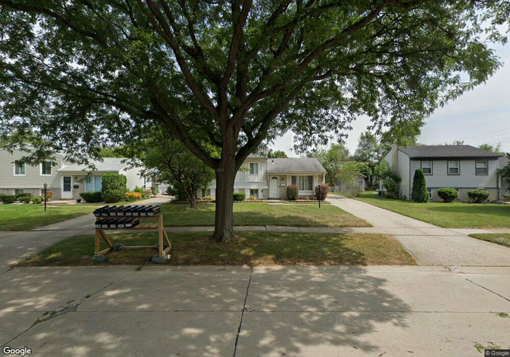
44124 Gibson Dr Sterling Heights, MI 48313
Estimated Value: $277,000 - $314,000
--
Bed
1
Bath
1,638
Sq Ft
$178/Sq Ft
Est. Value
About This Home
This home is located at 44124 Gibson Dr, Sterling Heights, MI 48313 and is currently estimated at $291,458, approximately $177 per square foot. 44124 Gibson Dr is a home located in Macomb County with nearby schools including Havel Elementary School, Bemis Junior High School, and Henry Ford II High School.
Ownership History
Date
Name
Owned For
Owner Type
Purchase Details
Closed on
Nov 17, 2006
Sold by
West Laron and West Donna
Bought by
Us Bank Na
Current Estimated Value
Purchase Details
Closed on
Jun 14, 2005
Sold by
Feraru Steven M and Feraru Jennifer L
Bought by
West Laron and West Donna
Home Financials for this Owner
Home Financials are based on the most recent Mortgage that was taken out on this home.
Original Mortgage
$184,300
Interest Rate
9.99%
Mortgage Type
Fannie Mae Freddie Mac
Purchase Details
Closed on
Jan 10, 1997
Sold by
Knapski L
Bought by
Feraru S
Create a Home Valuation Report for This Property
The Home Valuation Report is an in-depth analysis detailing your home's value as well as a comparison with similar homes in the area
Home Values in the Area
Average Home Value in this Area
Purchase History
| Date | Buyer | Sale Price | Title Company |
|---|---|---|---|
| Us Bank Na | $148,750 | None Available | |
| West Laron | $194,000 | Metro Title Corp | |
| Feraru S | $128,500 | -- |
Source: Public Records
Mortgage History
| Date | Status | Borrower | Loan Amount |
|---|---|---|---|
| Previous Owner | West Laron | $184,300 |
Source: Public Records
Tax History Compared to Growth
Tax History
| Year | Tax Paid | Tax Assessment Tax Assessment Total Assessment is a certain percentage of the fair market value that is determined by local assessors to be the total taxable value of land and additions on the property. | Land | Improvement |
|---|---|---|---|---|
| 2025 | $4,088 | $130,400 | $0 | $0 |
| 2024 | $3,194 | $117,000 | $0 | $0 |
| 2023 | $3,021 | $106,100 | $0 | $0 |
| 2022 | $3,606 | $92,700 | $0 | $0 |
| 2021 | $3,530 | $85,100 | $0 | $0 |
| 2020 | $2,716 | $83,200 | $0 | $0 |
| 2019 | $3,299 | $81,900 | $0 | $0 |
| 2018 | $3,305 | $75,200 | $0 | $0 |
| 2017 | $3,201 | $70,100 | $13,700 | $56,400 |
| 2016 | $3,126 | $70,100 | $0 | $0 |
| 2015 | -- | $63,300 | $0 | $0 |
| 2014 | -- | $56,200 | $0 | $0 |
Source: Public Records
Map
Nearby Homes
- 12115 Canal Rd
- 11827 Shetland Ct
- 12843 Jasmine Ct
- 12862 Beechnut Dr
- 13185 Canopy Dr Unit 119
- 13370 Forest Ridge Blvd Unit 172
- 12133 Chattman Dr
- 11503 Silver Dr
- 12107 19 Mile Rd
- 44361 Mathison Dr
- 44312 Patricia Dr Unit 2
- 43263 Hartwick Dr
- 44395 Patricia Dr Unit 90
- 11423 Delvin Dr
- 12840 19 Mile Rd
- 8958 Shannon Dr
- 11214 Canal Rd
- 42811 Wilmington Dr
- 11898 Lewlund Dr
- 13299 Jennilynn Ln
- 44136 Gibson Dr
- 44110 Gibson Dr
- 12331 Canal Rd
- 44148 Gibson Dr
- 44169 Felstone Dr
- 44181 Felstone Dr
- 12359 Canal Rd
- 44131 Gibson Dr
- 44160 Gibson Dr
- 44193 Felstone Dr
- 44109 Gibson Dr
- 44157 Felstone Dr
- 44201 Gibson Dr
- 12375 Canal Rd
- 44205 Felstone Dr
- 44200 Gibson Dr
- 44145 Felstone Dr
- 12215 Canal Rd
- 44215 Whithorn Dr
- 12405 Canal Rd