Estimated Value: $489,936
Studio
--
Bath
6,950
Sq Ft
$70/Sq Ft
Est. Value
About This Home
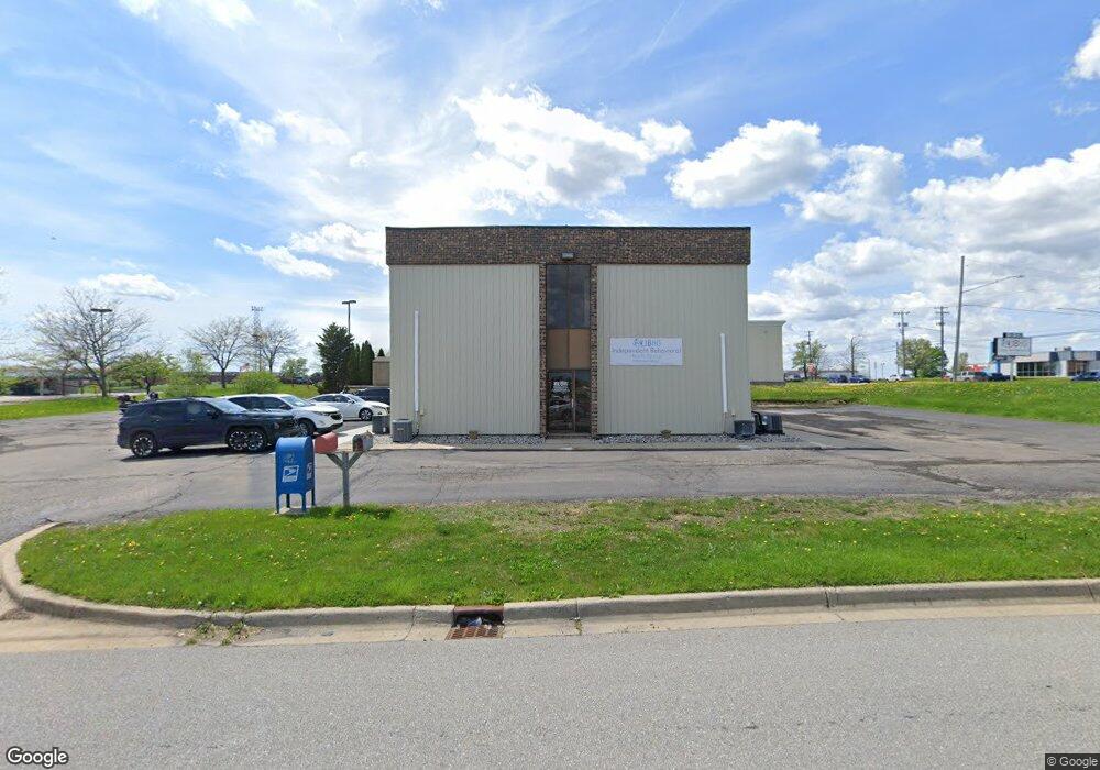
This home is located at 4413 Corunna Rd, Flint, MI 48532 and is currently estimated at $489,936, approximately $70 per square foot. 4413 Corunna Rd is a home located in Genesee County with nearby schools including Carman-Ainsworth High School, Genesee STEM Academy, and St. Paul Lutheran School.
Ownership History
Date
Name
Owned For
Owner Type
Purchase Details
Closed on
Jun 27, 2013
Sold by
Lawyers Leasing
Bought by
Yamuna Real Estate Llc
Current Estimated Value
Home Financials for this Owner
Home Financials are based on the most recent Mortgage that was taken out on this home.
Original Mortgage
$216,000
Outstanding Balance
$154,536
Interest Rate
3.62%
Mortgage Type
Commercial
Estimated Equity
$335,400
Create a Home Valuation Report for This Property
The Home Valuation Report is an in-depth analysis detailing your home's value as well as a comparison with similar homes in the area
Home Values in the Area
Average Home Value in this Area
Purchase History
| Date | Buyer | Sale Price | Title Company |
|---|---|---|---|
| Yamuna Real Estate Llc | $240,000 | Cislo Title Co |
Source: Public Records
Mortgage History
| Date | Status | Borrower | Loan Amount |
|---|---|---|---|
| Open | Yamuna Real Estate Llc | $216,000 |
Source: Public Records
Tax History
| Year | Tax Paid | Tax Assessment Tax Assessment Total Assessment is a certain percentage of the fair market value that is determined by local assessors to be the total taxable value of land and additions on the property. | Land | Improvement |
|---|---|---|---|---|
| 2025 | $15,413 | $364,800 | $0 | $0 |
| 2024 | $8,991 | $345,800 | $0 | $0 |
| 2023 | $8,497 | $338,100 | $0 | $0 |
| 2022 | $7,293 | $337,000 | $0 | $0 |
| 2021 | $3,573 | $327,400 | $0 | $0 |
| 2020 | $7,675 | $327,500 | $0 | $0 |
| 2019 | $7,578 | $325,700 | $0 | $0 |
| 2018 | $10,817 | $232,800 | $0 | $0 |
| 2017 | $10,484 | $232,800 | $0 | $0 |
| 2016 | $10,617 | $206,700 | $0 | $0 |
| 2015 | $10,246 | $189,700 | $0 | $0 |
| 2014 | $7,330 | $175,100 | $0 | $0 |
| 2012 | -- | $219,400 | $219,400 | $0 |
Source: Public Records
Map
Nearby Homes
- 10 Acres T A Mansour Blvd
- 4474 Corunna Rd
- 4480 Corunna Rd
- 1455 S Linden Rd
- 18.41 Taft Rd
- 3.9 Acres W Court St
- 0 Charter Dr Unit 50153638
- 1512 Crescent Lane Dr Lot#46
- 2033 Eberly Rd
- 4199 Sheraton Dr
- 2 Charter Dr
- 2052 S Dye Rd
- 1460 S Dye Rd
- 0000 Reuben Reuben St
- 5290 Brobeck St
- 1034 Normandy Terrace Dr
- 5323 Elmsford Dr
- 000 Devenish Ln
- 1095 Devenish Ln
- 4490 W Lennon Rd
- 4415 Corunna Rd
- 4424 Corunna Rd
- 4488 Corunna Rd
- 1478 Conway St
- 1468 Conway St
- 1439 Conway St
- 1456 Conway St
- 1433 Conway St
- 1471 S Linden Rd
- 1423 Conway St
- 2030 S Linden Rd
- 1434 Maxwell St
- 2010 S Linden Rd
- 1413 Conway St
- 1424 Conway St
- 1424 Conway St
- 1424 Conway St
- 1489 S Linden Rd
- 1493 S Linden Rd
- 000 S Linden Rd
Your Personal Tour Guide
Ask me questions while you tour the home.