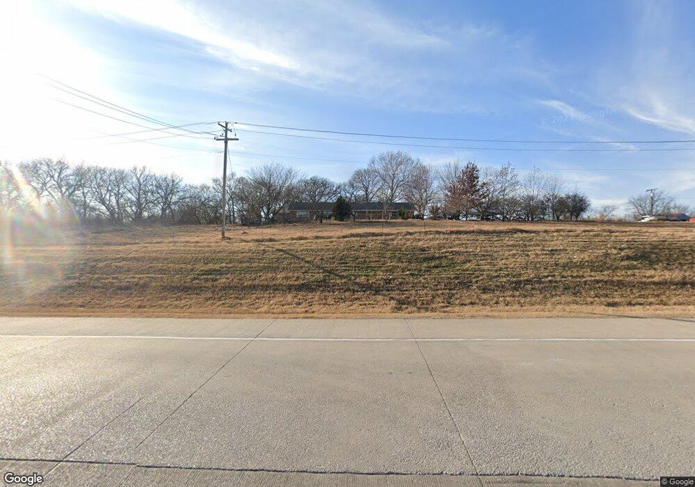
4413 State Highway 53 Ardmore, OK 73401
Estimated Value: $374,000 - $559,000
3
Beds
2
Baths
2,474
Sq Ft
$181/Sq Ft
Est. Value
About This Home
This home is located at 4413 State Highway 53, Ardmore, OK 73401 and is currently estimated at $447,457, approximately $180 per square foot. 4413 State Highway 53 is a home located in Carter County with nearby schools including Springer Elementary School and Springer High School.
Ownership History
Date
Name
Owned For
Owner Type
Purchase Details
Closed on
Apr 4, 2018
Sold by
Summers Aquilla Now Lawson and Summers Dewayne
Bought by
Clark Alecc
Current Estimated Value
Home Financials for this Owner
Home Financials are based on the most recent Mortgage that was taken out on this home.
Original Mortgage
$332,500
Outstanding Balance
$283,819
Interest Rate
4.4%
Mortgage Type
New Conventional
Estimated Equity
$163,638
Purchase Details
Closed on
Dec 19, 2000
Sold by
Cox Cecil L and Cox Anna M
Bought by
Lawson Re and Lawson Aquilla
Purchase Details
Closed on
Jun 28, 1999
Sold by
Delong Ina M
Bought by
Cox Cecil L and Cox Anna M
Create a Home Valuation Report for This Property
The Home Valuation Report is an in-depth analysis detailing your home's value as well as a comparison with similar homes in the area
Home Values in the Area
Average Home Value in this Area
Purchase History
| Date | Buyer | Sale Price | Title Company |
|---|---|---|---|
| Clark Alecc | $350,000 | None Available | |
| Lawson Re | $140,000 | -- | |
| Cox Cecil L | -- | -- |
Source: Public Records
Mortgage History
| Date | Status | Borrower | Loan Amount |
|---|---|---|---|
| Open | Clark Alecc | $332,500 |
Source: Public Records
Tax History Compared to Growth
Tax History
| Year | Tax Paid | Tax Assessment Tax Assessment Total Assessment is a certain percentage of the fair market value that is determined by local assessors to be the total taxable value of land and additions on the property. | Land | Improvement |
|---|---|---|---|---|
| 2025 | $1,607 | $18,832 | $5,522 | $13,310 |
| 2024 | $1,607 | $18,284 | $5,361 | $12,923 |
| 2023 | $1,527 | $17,751 | $5,330 | $12,421 |
| 2022 | $1,484 | $17,235 | $5,293 | $11,942 |
| 2021 | $1,502 | $17,235 | $5,293 | $11,942 |
| 2020 | $1,503 | $17,235 | $5,293 | $11,942 |
| 2019 | $1,506 | $17,454 | $5,293 | $12,161 |
| 2018 | $590 | $7,639 | $863 | $6,776 |
| 2017 | $1,561 | $18,382 | $1,293 | $17,089 |
| 2016 | $1,507 | $17,846 | $1,235 | $16,611 |
| 2015 | $1,494 | $17,326 | $1,113 | $16,213 |
| 2014 | $1,390 | $16,821 | $2,067 | $14,754 |
Source: Public Records
Map
Nearby Homes
- 0.68 Acre Parcel
- Two 0.74 Acre (Both Equal 1 48 Acre Parcel Total)
- Two 1.39
- 0 Tbd Tumbleweed Rd
- 2304 Pleasant Rd
- 203 Fernwood Rd
- 586 Grassland Rd
- 0 Grassland Rd Unit 2544291
- 0 Grassland Rd Unit 2544372
- 0 Grassland Rd Unit 2544109
- 1416 Smokey Ridge Rd
- 503 Forest Ln
- 6600 Refinery Rd
- 00 Refinery Rd
- 7590 Mount Washington Rd
- 58 Smokey Ridge Rd
- 7 Ponderosa Rd
- 1905 Grandview Rd
- 16677 Us Highway 77
- 1617 Ponderosa Rd
- 4413 State Hwy 53
- 4413 State Highway 53 Unit Ardmore
- 0 Gene Autry Rd Unit 34073
- 0 Gene Autry Rd Unit 26014
- 0 Gene Autry Rd Unit 2431918
- 0 Gene Autry Rd Unit 2033678
- 0 Gene Autry Rd Unit 36001
- Unassigned Gene Autry Rd
- 4773 State Highway 53
- 5095 State Hwy 53
- 159 Melton Ave
- 240 Prairie St
- 191 Redwing Rd
- 31 Melton Ave
- 5104 Hw 53
- 0 Robin Unit 26261
- 167 Terrace St
- 5238 State Highway 53
- 111 Terrace St
- 12 Berwyn Ln