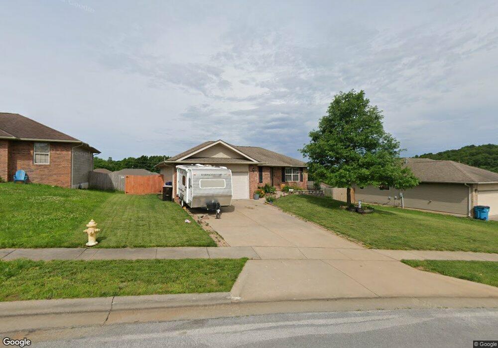
4415 N Farm Road 157 Springfield, MO 65803
Estimated Value: $231,977 - $275,000
3
Beds
2
Baths
1,208
Sq Ft
$204/Sq Ft
Est. Value
About This Home
This home is located at 4415 N Farm Road 157, Springfield, MO 65803 and is currently estimated at $246,494, approximately $204 per square foot. 4415 N Farm Road 157 is a home located in Greene County with nearby schools including Truman Elementary School, Pleasant View Elementary School, and Pleasant View K-8 School.
Ownership History
Date
Name
Owned For
Owner Type
Purchase Details
Closed on
Oct 26, 2012
Sold by
Lane Kenneth E and Lane Sharon K
Bought by
Huntley Michael R
Current Estimated Value
Home Financials for this Owner
Home Financials are based on the most recent Mortgage that was taken out on this home.
Original Mortgage
$3,237
Outstanding Balance
$2,258
Interest Rate
3.59%
Mortgage Type
Seller Take Back
Estimated Equity
$244,236
Purchase Details
Closed on
Sep 28, 2007
Sold by
Montileone Development Co Inc and Montileone Francis R
Bought by
Lane Kenneth E and Lane Sharon K
Home Financials for this Owner
Home Financials are based on the most recent Mortgage that was taken out on this home.
Original Mortgage
$95,000
Interest Rate
6.66%
Mortgage Type
New Conventional
Create a Home Valuation Report for This Property
The Home Valuation Report is an in-depth analysis detailing your home's value as well as a comparison with similar homes in the area
Home Values in the Area
Average Home Value in this Area
Purchase History
| Date | Buyer | Sale Price | Title Company |
|---|---|---|---|
| Huntley Michael R | -- | Choice Escrow & Land Title L | |
| Lane Kenneth E | -- | None Available |
Source: Public Records
Mortgage History
| Date | Status | Borrower | Loan Amount |
|---|---|---|---|
| Open | Huntley Michael R | $3,237 | |
| Open | Huntley Michael R | $107,908 | |
| Previous Owner | Lane Kenneth E | $95,000 |
Source: Public Records
Tax History Compared to Growth
Tax History
| Year | Tax Paid | Tax Assessment Tax Assessment Total Assessment is a certain percentage of the fair market value that is determined by local assessors to be the total taxable value of land and additions on the property. | Land | Improvement |
|---|---|---|---|---|
| 2025 | $1,406 | $30,170 | $5,700 | $24,470 |
| 2024 | $1,406 | $24,280 | $3,420 | $20,860 |
| 2023 | $1,398 | $24,280 | $3,420 | $20,860 |
| 2022 | $1,249 | $21,260 | $3,420 | $17,840 |
| 2021 | $1,195 | $21,260 | $3,420 | $17,840 |
| 2020 | $1,220 | $20,600 | $3,420 | $17,180 |
| 2019 | $1,186 | $20,600 | $3,420 | $17,180 |
| 2018 | $1,125 | $19,460 | $3,420 | $16,040 |
| 2017 | $1,115 | $19,110 | $3,420 | $15,690 |
| 2016 | $1,093 | $19,110 | $3,420 | $15,690 |
| 2015 | $1,085 | $19,110 | $3,420 | $15,690 |
| 2014 | $1,082 | $18,940 | $3,420 | $15,520 |
Source: Public Records
Map
Nearby Homes
- 229 W Mazzy Dr
- 4449 N Toby Ave
- 4470 N Toby Ave
- 4401 N Toby Ave
- 4329 N Toby Ave
- 347 Dry River Ct
- 4414 N Shirley Ave
- 419 Dry River Ct
- 316 E Libby Dr
- 4388 N Shirley Ave
- 455 Dry River Ct
- 859 E Mag Motor Ln
- 785 E Mag Motor Ln
- 252 E Saddle Ln
- 4230 N Farm Road 159
- 337 E Farm Road 96
- 711 E Mag Motor Ln
- 845 W Farm Road 96
- 3764 N Huntington Ave
- 440 E Farm Road 84
- 4403 N Farm Road 157
- 7621 N Farm Road 157
- 4427 N Farm Road 157
- 202 W Mazzy Dr
- 4408 N Farm Road 157
- 4420 N Farm Road 157
- 4396 N Farm Road 157
- 210 W Mazzy Dr
- 4432 N Farm Road 157
- 4376 N Katrina Ave
- 4388 N Katrina Ave
- 4424 N Katrina Ave
- 4404 N Katrina Ave
- 205 W Mazzy Dr
- 4412 N Katrina Ave
- 4360 N Katrina Ave
- 4384 N Farm Road 157
- 218 W Mazzy Dr
- 259 W Libby Dr
- 251 W Libby Dr