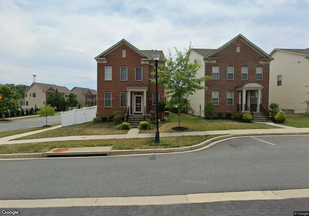
4417 Landsdale Pkwy Monrovia, MD 21770
Estimated Value: $792,371 - $837,000
--
Bed
1
Bath
2,934
Sq Ft
$275/Sq Ft
Est. Value
About This Home
This home is located at 4417 Landsdale Pkwy, Monrovia, MD 21770 and is currently estimated at $807,093, approximately $275 per square foot. 4417 Landsdale Pkwy is a home located in Frederick County with nearby schools including Green Valley Elementary School, Windsor Knolls Middle School, and Urbana High School.
Ownership History
Date
Name
Owned For
Owner Type
Purchase Details
Closed on
Jul 28, 2017
Sold by
Winchester Homes Inc
Bought by
Sui Hongyan and Guo Liang
Current Estimated Value
Home Financials for this Owner
Home Financials are based on the most recent Mortgage that was taken out on this home.
Original Mortgage
$397,664
Outstanding Balance
$331,281
Interest Rate
3.9%
Mortgage Type
New Conventional
Estimated Equity
$475,812
Create a Home Valuation Report for This Property
The Home Valuation Report is an in-depth analysis detailing your home's value as well as a comparison with similar homes in the area
Home Values in the Area
Average Home Value in this Area
Purchase History
| Date | Buyer | Sale Price | Title Company |
|---|---|---|---|
| Sui Hongyan | $497,080 | First American Title Ins Co |
Source: Public Records
Mortgage History
| Date | Status | Borrower | Loan Amount |
|---|---|---|---|
| Open | Sui Hongyan | $397,664 |
Source: Public Records
Tax History Compared to Growth
Tax History
| Year | Tax Paid | Tax Assessment Tax Assessment Total Assessment is a certain percentage of the fair market value that is determined by local assessors to be the total taxable value of land and additions on the property. | Land | Improvement |
|---|---|---|---|---|
| 2025 | $7,480 | $681,733 | -- | -- |
| 2024 | $7,480 | $641,200 | $191,900 | $449,300 |
| 2023 | $6,832 | $602,333 | $0 | $0 |
| 2022 | $6,500 | $563,467 | $0 | $0 |
| 2021 | $6,181 | $524,600 | $140,400 | $384,200 |
| 2020 | $6,181 | $524,600 | $140,400 | $384,200 |
| 2019 | $6,181 | $524,600 | $140,400 | $384,200 |
| 2018 | $6,297 | $537,300 | $105,400 | $431,900 |
| 2017 | $1,224 | $105,400 | $0 | $0 |
| 2016 | -- | $105,400 | $0 | $0 |
Source: Public Records
Map
Nearby Homes
- 4396 Shamrock Dr
- 4384 Viridian Terrace
- 4303 Viridian Terrace
- 10934 Haven Park Cir
- 4359 Shamrock Dr
- 10921 Haven Park Cir
- 11397 Weller Rd
- 4920 Ed Mcclain Rd
- 4936D Green Valley Rd
- 11705 Weller Rd
- 5222 Mussetter Rd
- 4105 Lynn Burke Rd
- 5204 Muirfield Dr
- 4807 Railway Cir
- 3460 Big Woods Rd
- 11378 Canary Dr
- 25 W Main St
- 9859 Artemis Terrace
- 11589A Nor Ray Cir
- 11402 Meadowlark Dr
- 4415 Landsdale Pkwy
- 4413 Landsdale Pkwy
- 4421 Landsdale Pkwy
- 4398 Shamrock Dr
- 4411 Landsdale Pkwy
- 4423 Landsdale Blvd
- 4423 Landsdale Pkwy
- 4416 Landsdale Pkwy
- 4414 Landsdale Pkwy
- 4409 Landsdale Pkwy
- 4399 Shamrock Dr
- 4412 Landsdale Pkwy
- 4407 Landsdale Pkwy
- 4394 Shamrock Dr
- 4420 Landsdale Pkwy
- 4397 Shamrock Dr
- 4410 Landsdale Pkwy
- 4425 Landsdale Pkwy
- 4422 Landsdale Pkwy
- 4395 Shamrock Dr