4418 Cedar Creek Rd Plattsmouth, NE 68048
Estimated Value: $624,932 - $1,070,000
4
Beds
5
Baths
4,580
Sq Ft
$173/Sq Ft
Est. Value
About This Home
This home is located at 4418 Cedar Creek Rd, Plattsmouth, NE 68048 and is currently estimated at $790,983, approximately $172 per square foot. 4418 Cedar Creek Rd is a home located in Cass County with nearby schools including Plattsmouth Elementary School, Plattsmouth Middle School, and Plattsmouth High School.
Ownership History
Date
Name
Owned For
Owner Type
Purchase Details
Closed on
Oct 26, 2023
Sold by
Liekhus Bryan D and Liekhus Laura L
Bought by
Bryan D Liekhus And Laura L Liekhus Trust and Liekhus
Current Estimated Value
Purchase Details
Closed on
Sep 27, 2007
Sold by
Shoberg David J and Shoberg Susan L
Bought by
Boyd Family Ltd Partnership
Purchase Details
Closed on
Mar 7, 2007
Sold by
Troshynski Daniel E and Troshynski Helen A
Bought by
Boyd Family Ltd Partnership
Purchase Details
Closed on
Mar 6, 2007
Sold by
Meeske John A and Meeske Lois D
Bought by
Boyd Family Ltd Partnership
Purchase Details
Closed on
Mar 15, 2002
Sold by
Calaway Floyd and Calaway Beverly
Bought by
Liekhus Bryan and Liekhus Laura
Create a Home Valuation Report for This Property
The Home Valuation Report is an in-depth analysis detailing your home's value as well as a comparison with similar homes in the area
Home Values in the Area
Average Home Value in this Area
Purchase History
| Date | Buyer | Sale Price | Title Company |
|---|---|---|---|
| Bryan D Liekhus And Laura L Liekhus Trust | -- | None Listed On Document | |
| Boyd Family Ltd Partnership | -- | -- | |
| Boyd Family Ltd Partnership | -- | -- | |
| Boyd Family Ltd Partnership | -- | -- | |
| Liekhus Bryan | $418,500 | -- |
Source: Public Records
Tax History Compared to Growth
Tax History
| Year | Tax Paid | Tax Assessment Tax Assessment Total Assessment is a certain percentage of the fair market value that is determined by local assessors to be the total taxable value of land and additions on the property. | Land | Improvement |
|---|---|---|---|---|
| 2024 | $7,252 | $572,395 | $87,745 | $484,650 |
| 2023 | $8,576 | $518,500 | $66,300 | $452,200 |
| 2022 | $8,359 | $517,183 | $69,615 | $447,568 |
| 2021 | $7,511 | $460,190 | $55,250 | $404,940 |
| 2020 | $6,984 | $410,549 | $55,250 | $355,299 |
| 2019 | $6,899 | $410,549 | $55,250 | $355,299 |
| 2018 | $6,839 | $410,549 | $55,250 | $355,299 |
| 2017 | $6,733 | $401,933 | $55,250 | $346,683 |
| 2016 | $6,603 | $401,933 | $55,250 | $346,683 |
| 2015 | $6,467 | $401,933 | $55,250 | $346,683 |
| 2014 | $6,719 | $401,933 | $55,250 | $346,683 |
Source: Public Records
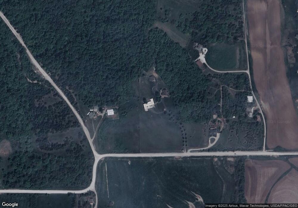
Map
Nearby Homes
- 4219 Windward Dr
- 19325 Spyglass Ct
- 19617 Ridgeway Rd
- 3819 Buccaneer Blvd
- 19719 Sterling Ct
- 2903 Lakeside Dr
- 2829 Lakeside Dr
- 2831 Lakeside Dr
- 2837 Lakeside Dr
- 2839 Lakeside Dr
- 2901 Lakeside Dr
- 2905 Lakeside Dr
- 2907 Lakeside Dr
- 2909 Lakeside Dr
- 2911 Lakeside Dr
- 2913 Lakeside Dr
- 2915 Lakeside Dr
- 3035 Lakeside Dr
- 3037 Lakeside Dr
- 3039 Lakeside Dr
- 4300 Cedar Creek Rd
- 4218 Cedar Creek Rd
- 48th Cedar Creek Rd
- 4312 Windward Dr
- 4308 Windward Dr
- 4304 Windward Dr
- 4316 Windward Dr
- 4300 Windward Dr
- 4320 Windward Dr
- 4226 Windward Dr
- 4212 Windward Dr
- 4307 Windward Dr
- 4230 Windward Dr
- 4319 Windward Dr
- 4303 Windward Dr
- 4301 Windward Dr
- 4220 Windward Dr
- 4214 Windward Dr
- 4128 Buccaneer Blvd
- 4324 Windward Dr