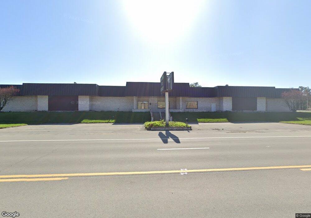
4419 Robert C Byrd Dr Beckley, WV 25801
--
Bed
5
Baths
48,240
Sq Ft
7.25
Acres
About This Home
This home is located at 4419 Robert C Byrd Dr, Beckley, WV 25801. 4419 Robert C Byrd Dr is a home located in Raleigh County with nearby schools including Cranberry-Prosperity Elementary School, Beckley-Stratton Middle School, and Woodrow Wilson High School.
Ownership History
Date
Name
Owned For
Owner Type
Purchase Details
Closed on
Mar 7, 2025
Sold by
Maple Ridge Llc
Bought by
American Mine Power Inc
Home Financials for this Owner
Home Financials are based on the most recent Mortgage that was taken out on this home.
Original Mortgage
$2,900,000
Outstanding Balance
$2,882,934
Interest Rate
6.96%
Mortgage Type
Construction
Create a Home Valuation Report for This Property
The Home Valuation Report is an in-depth analysis detailing your home's value as well as a comparison with similar homes in the area
Home Values in the Area
Average Home Value in this Area
Purchase History
| Date | Buyer | Sale Price | Title Company |
|---|---|---|---|
| American Mine Power Inc | $2,900,000 | Attorney Only |
Source: Public Records
Mortgage History
| Date | Status | Borrower | Loan Amount |
|---|---|---|---|
| Open | American Mine Power Inc | $2,900,000 |
Source: Public Records
Tax History Compared to Growth
Tax History
| Year | Tax Paid | Tax Assessment Tax Assessment Total Assessment is a certain percentage of the fair market value that is determined by local assessors to be the total taxable value of land and additions on the property. | Land | Improvement |
|---|---|---|---|---|
| 2025 | $17,445 | $598,260 | $430,320 | $167,940 |
| 2024 | $17,340 | $598,260 | $430,320 | $167,940 |
| 2023 | $17,366 | $598,260 | $430,320 | $167,940 |
| 2022 | $17,349 | $597,660 | $430,320 | $167,340 |
| 2021 | $17,349 | $597,660 | $430,320 | $167,340 |
| 2020 | $17,435 | $597,660 | $430,320 | $167,340 |
| 2019 | $17,456 | $598,380 | $430,320 | $168,060 |
| 2018 | $25,499 | $874,080 | $451,140 | $422,940 |
| 2017 | $25,521 | $874,860 | $451,140 | $423,720 |
| 2016 | $24,281 | $821,400 | $457,860 | $363,540 |
| 2015 | $23,104 | $783,420 | $427,380 | $356,040 |
| 2014 | $23,104 | $785,100 | $427,380 | $357,720 |
Source: Public Records
Map
Nearby Homes
- 800 Maxwell Hill Rd
- 220 Prosperity Rd
- 103 Curtis Ave
- 1105 Pinewood Dr
- 205 Teel Rd
- 0 Cranberry Pointe Way Unit 40
- 106 Thornwood Ln
- 214 Kincaid St
- 404 Teel Rd
- 711 Teel Rd
- 502 N Highland Dr
- 101 Northern Ct
- 0000 Dry Hill Rd
- 604 Prosperity Rd
- 101 Skyview Dr
- 808 New River Dr
- 107 Stanaford Rd
- 00 Stanaford Rd
- 681 Prosperity Rd
- 113 Kevin Ridge Dr
- 108 Mockingbird Ln
- 605 Market Rd
- 109 Mockingbird Ln
- 615 Market Rd
- 141 Toney Ln
- 119 Meadowbrook Ln
- 601 Market Rd
- 130 Mockingbird Ln
- 123 Meadowbrook Ln
- 623 Market Rd
- 121 Mockingbird Ln
- 131 Meadowbrook Ln
- 165 Toney Ln
- 140 Mockingbird Ln
- 135 Meadowbrook Ln
- 183 Lori St
- 132 Meadowbrook Ln
- 131 Mockingbird Ln
- 647 Market Rd
- 142 Mockingbird Ln