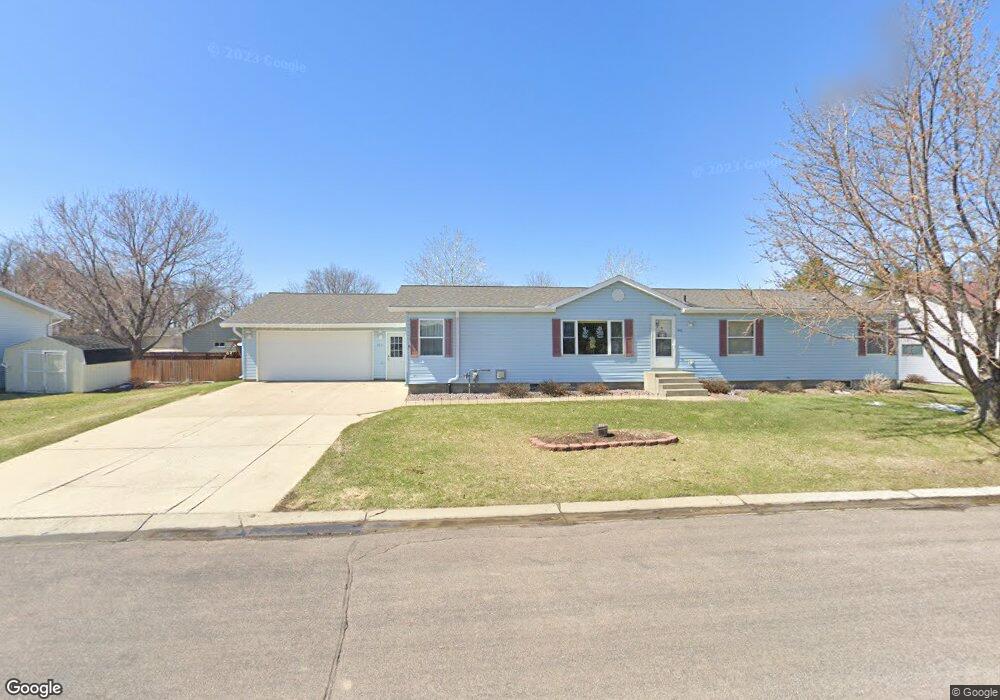
442 7th Ave S Brownton, MN 55312
Estimated Value: $257,000 - $291,000
4
Beds
3
Baths
1,728
Sq Ft
$156/Sq Ft
Est. Value
About This Home
This home is located at 442 7th Ave S, Brownton, MN 55312 and is currently estimated at $270,067, approximately $156 per square foot. 442 7th Ave S is a home with nearby schools including Lincoln Elementary School, Lakeside Elementary School, and Glencoe-Silver Lake Jr. High School.
Create a Home Valuation Report for This Property
The Home Valuation Report is an in-depth analysis detailing your home's value as well as a comparison with similar homes in the area
Tax History
| Year | Tax Paid | Tax Assessment Tax Assessment Total Assessment is a certain percentage of the fair market value that is determined by local assessors to be the total taxable value of land and additions on the property. | Land | Improvement |
|---|---|---|---|---|
| 2025 | $4,450 | $260,300 | $38,000 | $222,300 |
| 2024 | $3,908 | $229,100 | $34,500 | $194,600 |
| 2023 | $3,908 | $229,100 | $34,500 | $194,600 |
| 2022 | $3,264 | $193,000 | $30,000 | $163,000 |
| 2021 | $3,324 | $161,200 | $26,100 | $135,100 |
| 2020 | $3,468 | $161,200 | $26,100 | $135,100 |
| 2019 | $2,878 | $145,700 | $23,700 | $122,000 |
| 2018 | $3,084 | $0 | $0 | $0 |
| 2017 | $2,664 | $0 | $0 | $0 |
| 2016 | $2,502 | $0 | $0 | $0 |
| 2015 | $2,294 | $0 | $0 | $0 |
| 2014 | -- | $0 | $0 | $0 |
Source: Public Records
Map
Nearby Homes
- Lot 2 U S Highway 212
- 226 3rd Ave S
- xxx Lot 3 Division St W
- 304 5th Ave N
- 140 1st Ave N
- 352 4th St N
- XXX US Hwy 212
- 11462 Highway 15
- 11462 Minnesota 15
- 11742 Sunset Cir
- 12406 Highway 212
- 12893 County Road 7
- 426 Main St
- 8655 8th Ave
- 540 Mowbray St
- 41 Bowman St
- 1199 E 2nd St
- 000 160th St
- 503 17th St W
- 401 17th St W
Your Personal Tour Guide
Ask me questions while you tour the home.