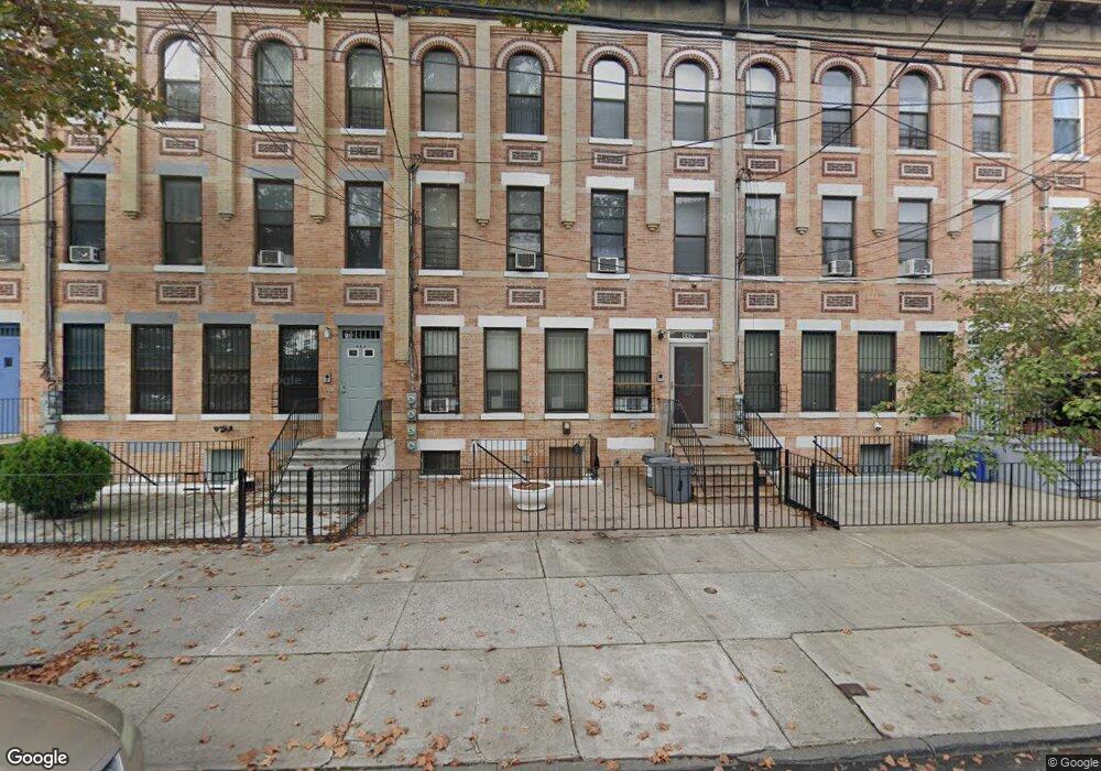
442 Bradford St Brooklyn, NY 11207
East New York NeighborhoodEstimated Value: $776,000 - $1,129,000
--
Bed
--
Bath
4,125
Sq Ft
$233/Sq Ft
Est. Value
About This Home
This home is located at 442 Bradford St, Brooklyn, NY 11207 and is currently estimated at $959,667, approximately $232 per square foot. 442 Bradford St is a home located in Kings County with nearby schools including P.S. 149 Danny Kaye, J.H.S 292 Margaret S. Douglas, and Achievement First - East New York School.
Ownership History
Date
Name
Owned For
Owner Type
Purchase Details
Closed on
Nov 24, 2015
Sold by
Grant June A
Bought by
Grant June A and Sands Owen
Current Estimated Value
Home Financials for this Owner
Home Financials are based on the most recent Mortgage that was taken out on this home.
Original Mortgage
$329,464
Outstanding Balance
$259,491
Interest Rate
3.83%
Estimated Equity
$700,176
Purchase Details
Closed on
Feb 4, 2014
Sold by
Estate Of Thelma Parchment
Bought by
Griffith Donald D and Sands Owen
Purchase Details
Closed on
Oct 21, 1994
Sold by
Ny/Enterprise Cityhome Hsng Development
Bought by
Grant June A and Parchment Thelma E
Create a Home Valuation Report for This Property
The Home Valuation Report is an in-depth analysis detailing your home's value as well as a comparison with similar homes in the area
Home Values in the Area
Average Home Value in this Area
Purchase History
| Date | Buyer | Sale Price | Title Company |
|---|---|---|---|
| Grant June A | $144,179 | -- | |
| Griffith Donald D | -- | -- | |
| Grant June A | -- | -- |
Source: Public Records
Mortgage History
| Date | Status | Borrower | Loan Amount |
|---|---|---|---|
| Open | Grant June A | $329,464 |
Source: Public Records
Tax History Compared to Growth
Tax History
| Year | Tax Paid | Tax Assessment Tax Assessment Total Assessment is a certain percentage of the fair market value that is determined by local assessors to be the total taxable value of land and additions on the property. | Land | Improvement |
|---|---|---|---|---|
| 2025 | $2,292 | $73,440 | $25,560 | $47,880 |
| 2024 | $2,292 | $71,820 | $25,560 | $46,260 |
| 2023 | $2,292 | $68,520 | $25,560 | $42,960 |
| 2022 | $2,418 | $56,100 | $25,560 | $30,540 |
| 2021 | $2,501 | $58,620 | $25,560 | $33,060 |
| 2020 | $1,065 | $56,520 | $25,560 | $30,960 |
| 2019 | $2,092 | $56,520 | $25,560 | $30,960 |
| 2018 | $1,730 | $25,214 | $8,489 | $16,725 |
| 2017 | $1,730 | $25,214 | $8,489 | $16,725 |
| 2016 | $1,658 | $25,021 | $8,296 | $16,725 |
| 2015 | -- | $23,605 | $6,880 | $16,725 |
| 2014 | -- | $22,270 | $5,545 | $16,725 |
Source: Public Records
Map
Nearby Homes
- 412 Bradford St
- 439 Vermont St
- 477 Vermont St
- 774 Blake Ave
- 440 Miller Ave
- 459 Miller Ave
- 486 Vermont St
- 443 Miller Ave
- 402 van Siclen Ave
- 419 van Siclen Ave
- 342 Wyona St
- 414 Miller Ave
- 444 New Jersey Ave
- 667 Sutter Ave
- 663 Sutter Ave
- 353 Pennsylvania Ave
- 582 Hendrix St
- 358 van Siclen Ave
- 459 Belmont Ave
- 346 van Siclen Ave
- 444 Bradford St
- 438 Bradford St
- 448 Bradford St
- 434 Bradford St
- 450 Bradford St
- 736 Blake Ave
- 439 Wyona St
- 435 Wyona St
- 435-437 Wyona St
- 0 Sutter Av & Belmont Ave Unit 7640042-11397149
- 456 Bradford St
- 443 Wyona St
- 443 Wyona St Unit 1L
- 443 Wyona St Unit 6
- 431 Wyona St
- 445 Wyona St
- 429 Wyona St
- 449 Wyona St
- 460 Bradford St
- 451 Wyona St