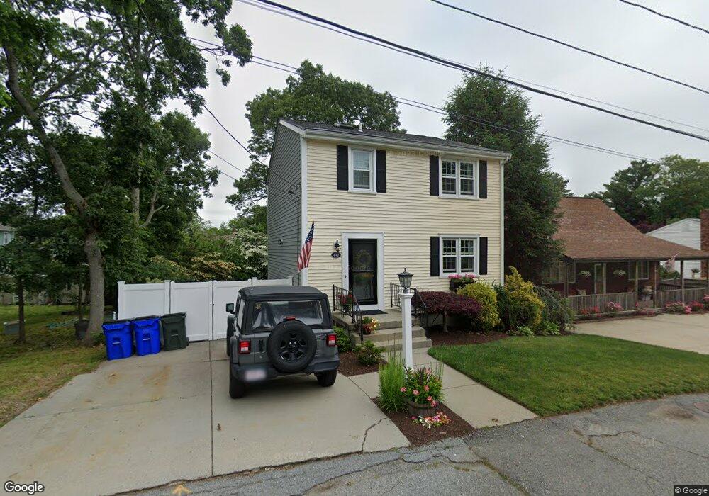
442 Bullock St Fall River, MA 02720
Bank Street NeighborhoodEstimated Value: $438,860 - $510,000
3
Beds
3
Baths
1,680
Sq Ft
$280/Sq Ft
Est. Value
About This Home
This home is located at 442 Bullock St, Fall River, MA 02720 and is currently estimated at $469,715, approximately $279 per square foot. 442 Bullock St is a home located in Bristol County with nearby schools including Mary Fonseca Elementary School, Talbot Innovation School, and B M C Durfee High School.
Ownership History
Date
Name
Owned For
Owner Type
Purchase Details
Closed on
Apr 23, 1999
Sold by
5 D Builders Inc
Bought by
Kaliff Timothy F and Kaliff Jennifer L
Current Estimated Value
Purchase Details
Closed on
Jan 12, 1998
Sold by
Tripp Vernon A and Tripp Harriet E
Bought by
5 D Bldrs Corp
Purchase Details
Closed on
Nov 19, 1997
Sold by
Teixeira Robert and Teixeira Graciete
Bought by
Levesque Robert E and Levesque Marieanna
Purchase Details
Closed on
Jul 12, 1989
Sold by
Ferland P M Frank
Bought by
Shannon Richard B
Purchase Details
Closed on
May 8, 1989
Sold by
Waring Hts Rt
Bought by
Tavares Antonio M
Create a Home Valuation Report for This Property
The Home Valuation Report is an in-depth analysis detailing your home's value as well as a comparison with similar homes in the area
Home Values in the Area
Average Home Value in this Area
Purchase History
| Date | Buyer | Sale Price | Title Company |
|---|---|---|---|
| Kaliff Timothy F | $139,000 | -- | |
| 5 D Bldrs Corp | $34,500 | -- | |
| Levesque Robert E | $165,000 | -- | |
| Shannon Richard B | $36,000 | -- | |
| Tavares Antonio M | $50,000 | -- |
Source: Public Records
Mortgage History
| Date | Status | Borrower | Loan Amount |
|---|---|---|---|
| Open | Tavares Antonio M | $202,000 | |
| Closed | Tavares Antonio M | $50,400 |
Source: Public Records
Tax History
| Year | Tax Paid | Tax Assessment Tax Assessment Total Assessment is a certain percentage of the fair market value that is determined by local assessors to be the total taxable value of land and additions on the property. | Land | Improvement |
|---|---|---|---|---|
| 2025 | $3,798 | $331,700 | $132,200 | $199,500 |
| 2024 | $3,564 | $310,200 | $127,100 | $183,100 |
| 2023 | $3,668 | $298,900 | $114,100 | $184,800 |
| 2022 | $3,274 | $259,400 | $105,600 | $153,800 |
| 2021 | $3,392 | $245,300 | $99,700 | $145,600 |
| 2020 | $3,355 | $232,200 | $96,000 | $136,200 |
| 2019 | $3,302 | $226,500 | $96,000 | $130,500 |
| 2018 | $3,259 | $222,900 | $96,000 | $126,900 |
| 2017 | $3,088 | $220,600 | $96,000 | $124,600 |
| 2016 | $2,906 | $213,200 | $96,000 | $117,200 |
| 2015 | $2,749 | $210,200 | $89,800 | $120,400 |
| 2014 | $2,644 | $210,200 | $89,800 | $120,400 |
Source: Public Records
Map
Nearby Homes
Your Personal Tour Guide
Ask me questions while you tour the home.