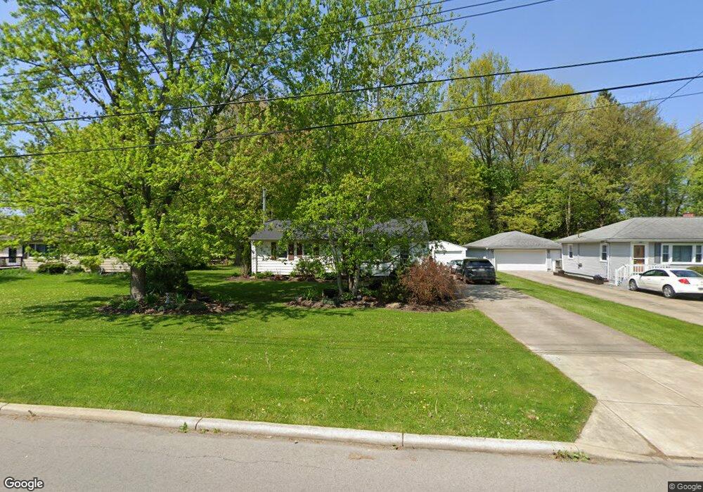
442 Cedar Dr Cortland, OH 44410
Estimated Value: $144,484 - $180,000
3
Beds
2
Baths
1,008
Sq Ft
$162/Sq Ft
Est. Value
About This Home
This home is located at 442 Cedar Dr, Cortland, OH 44410 and is currently estimated at $163,371, approximately $162 per square foot. 442 Cedar Dr is a home located in Trumbull County with nearby schools including Lakeview Elementary School, Lakeview Middle School, and Lakeview High School.
Ownership History
Date
Name
Owned For
Owner Type
Purchase Details
Closed on
Aug 13, 2024
Sold by
Tomlinson Arthur R and Tomlinson Helen M
Bought by
8328 Trust and Tomlinson
Current Estimated Value
Purchase Details
Closed on
Sep 18, 2008
Sold by
Huffman Susan E
Bought by
Tomlinson Arthur R
Purchase Details
Closed on
Jul 10, 2001
Sold by
Fenn Kyle E and Fenn Shana D
Bought by
Huff Susan E
Home Financials for this Owner
Home Financials are based on the most recent Mortgage that was taken out on this home.
Original Mortgage
$74,400
Interest Rate
7.2%
Mortgage Type
New Conventional
Purchase Details
Closed on
Aug 20, 1997
Sold by
Halubka Dolores M
Bought by
Fenn Kyle E and Fenn Shana D
Purchase Details
Closed on
Jan 1, 1990
Bought by
Theodore and Theodore Dolores
Create a Home Valuation Report for This Property
The Home Valuation Report is an in-depth analysis detailing your home's value as well as a comparison with similar homes in the area
Home Values in the Area
Average Home Value in this Area
Purchase History
| Date | Buyer | Sale Price | Title Company |
|---|---|---|---|
| 8328 Trust | -- | None Listed On Document | |
| Tomlinson Arthur R | $87,500 | None Available | |
| Huff Susan E | $93,000 | -- | |
| Fenn Kyle E | $54,750 | -- | |
| Theodore | -- | -- |
Source: Public Records
Mortgage History
| Date | Status | Borrower | Loan Amount |
|---|---|---|---|
| Previous Owner | Huff Susan E | $74,400 |
Source: Public Records
Tax History Compared to Growth
Tax History
| Year | Tax Paid | Tax Assessment Tax Assessment Total Assessment is a certain percentage of the fair market value that is determined by local assessors to be the total taxable value of land and additions on the property. | Land | Improvement |
|---|---|---|---|---|
| 2024 | $1,868 | $34,730 | $6,060 | $28,670 |
| 2023 | $1,868 | $34,730 | $6,060 | $28,670 |
| 2022 | $1,680 | $26,190 | $6,060 | $20,130 |
| 2021 | $1,687 | $26,190 | $6,060 | $20,130 |
| 2020 | $1,695 | $26,190 | $6,060 | $20,130 |
| 2019 | $1,461 | $22,020 | $6,060 | $15,960 |
| 2018 | $1,467 | $22,020 | $6,060 | $15,960 |
| 2017 | $1,466 | $22,020 | $6,060 | $15,960 |
| 2016 | $1,515 | $21,990 | $6,060 | $15,930 |
| 2015 | $1,510 | $21,990 | $6,060 | $15,930 |
| 2014 | $1,332 | $21,990 | $6,060 | $15,930 |
| 2013 | $1,356 | $21,990 | $6,060 | $15,930 |
Source: Public Records
Map
Nearby Homes
- 140 Leckrone Way
- 151 Cedar Cir
- 105 Diamond Way Unit 105
- 104 Diamond Way Unit 104
- 111 Emerald Ln
- 130 Topaz Trail Unit 130
- 10 Harneds Landing
- 3 Harneds Landing Unit 3
- 2 Harneds Landing
- 278 Rosewae Ave
- 232 Bayview Dr Unit 232
- 19 Spring Creek Dr
- 220 Wae Trail
- 155 Heritage Ln
- 120 Winter Ln
- 0 N High St
- 2 Turnberry Place
- 2559 Wilson Sharpsville Rd
- 2730 Wilson Sharpsville Rd
- 101 Elizabeth Ct