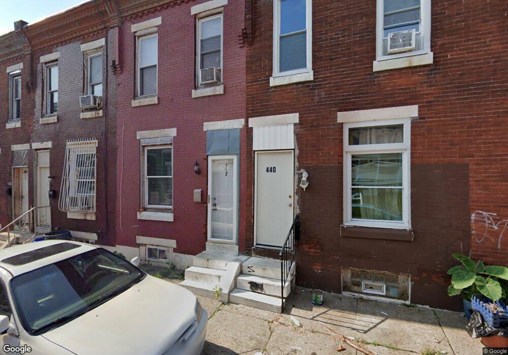
442 E Elkhart St Philadelphia, PA 19134
Upper Kensington NeighborhoodEstimated Value: $62,000 - $76,000
3
Beds
1
Bath
780
Sq Ft
$88/Sq Ft
Est. Value
About This Home
This home is located at 442 E Elkhart St, Philadelphia, PA 19134 and is currently estimated at $68,583, approximately $87 per square foot. 442 E Elkhart St is a home located in Philadelphia County with nearby schools including Elkin Lewis School, Thomas Alva Edison High School/Fareira Skills Center, and John B. Stetson Charter School.
Ownership History
Date
Name
Owned For
Owner Type
Purchase Details
Closed on
Feb 28, 2019
Sold by
Smith David
Bought by
Weis Real Estate Llc
Current Estimated Value
Purchase Details
Closed on
Apr 25, 2014
Sold by
Coleman Naazir A and Coleman Naazir
Bought by
Smith David B
Purchase Details
Closed on
Jul 3, 2012
Sold by
Schwartz Shaun L and Schwartz Rhonda H
Bought by
Jeferson Raheem Eugene
Purchase Details
Closed on
Mar 8, 2012
Sold by
Schwartz Shaun L and Schwartz Rhonda H
Bought by
Henderson Tracey
Create a Home Valuation Report for This Property
The Home Valuation Report is an in-depth analysis detailing your home's value as well as a comparison with similar homes in the area
Home Values in the Area
Average Home Value in this Area
Purchase History
| Date | Buyer | Sale Price | Title Company |
|---|---|---|---|
| Weis Real Estate Llc | $30,000 | Springfield Abstract Inc | |
| Smith David B | -- | None Available | |
| Jeferson Raheem Eugene | $4,600 | None Available | |
| Henderson Tracey | $1,000 | None Available |
Source: Public Records
Tax History Compared to Growth
Tax History
| Year | Tax Paid | Tax Assessment Tax Assessment Total Assessment is a certain percentage of the fair market value that is determined by local assessors to be the total taxable value of land and additions on the property. | Land | Improvement |
|---|---|---|---|---|
| 2025 | $211 | $25,500 | $5,100 | $20,400 |
| 2024 | $211 | $25,500 | $5,100 | $20,400 |
| 2023 | $211 | $15,100 | $3,020 | $12,080 |
| 2022 | $80 | $15,100 | $3,020 | $12,080 |
| 2021 | $80 | $0 | $0 | $0 |
| 2020 | $80 | $0 | $0 | $0 |
| 2019 | $105 | $0 | $0 | $0 |
| 2018 | $451 | $0 | $0 | $0 |
| 2017 | $451 | $0 | $0 | $0 |
| 2016 | $451 | $0 | $0 | $0 |
| 2015 | $596 | $0 | $0 | $0 |
| 2014 | -- | $44,500 | $2,558 | $41,942 |
| 2012 | -- | $3,104 | $488 | $2,616 |
Source: Public Records
Map
Nearby Homes
- 3112 Hurley St
- 3049 Gransback St
- 3027 C St
- 3134 D St
- 3055 Hartville St
- 531 E Indiana Ave
- 2939 Hurley St
- 2937 Hurley St
- 414 E Allegheny Ave
- 3153 Rorer St
- 3010 Rosehill St
- 2965 Rutledge St
- 2963 Rutledge St
- 2954 Rutledge St
- 2939 Rutledge St
- 2933 Rutledge St
- 2927 Rutledge St
- 2922 Rutledge St
- 2921 Rutledge St
- 2910 Rutledge St
- 440 E Elkhart St
- 444 E Elkhart St
- 446 E Elkhart St
- 438 E Elkhart St
- 448 E Elkhart St
- 436 E Elkhart St
- 434 E Elkhart St
- 450 E Elkhart St
- 3051 Boudinot St
- 441 E Elkhart St
- 3049 Boudinot St
- 452 E Elkhart St
- 443 E Elkhart St
- 439 E Elkhart St
- 447 E Elkhart St
- 445 E Elkhart St
- 437 E Elkhart St
- 435 E Elkhart St
- 454 E Elkhart St
- 3047 Boudinot St