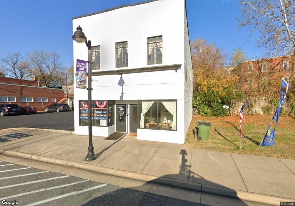
442 First St Shenandoah, VA 22849
Estimated Value: $626,220
5
Beds
4
Baths
3,100
Sq Ft
$202/Sq Ft
Est. Value
About This Home
This home is located at 442 First St, Shenandoah, VA 22849 and is currently priced at $626,220, approximately $202 per square foot. 442 First St is a home located in Page County.
Ownership History
Date
Name
Owned For
Owner Type
Purchase Details
Closed on
Oct 12, 2022
Sold by
Building At 442 Llc
Bought by
Depot At Shenandoah Llc
Current Estimated Value
Home Financials for this Owner
Home Financials are based on the most recent Mortgage that was taken out on this home.
Original Mortgage
$362,950
Outstanding Balance
$352,037
Interest Rate
6.9%
Mortgage Type
Construction
Purchase Details
Closed on
Jun 19, 2012
Purchase Details
Closed on
Oct 3, 2008
Create a Home Valuation Report for This Property
The Home Valuation Report is an in-depth analysis detailing your home's value as well as a comparison with similar homes in the area
Home Values in the Area
Average Home Value in this Area
Purchase History
| Date | Buyer | Sale Price | Title Company |
|---|---|---|---|
| Depot At Shenandoah Llc | $427,000 | -- | |
| -- | $10,000 | -- | |
| -- | $60,000 | -- |
Source: Public Records
Mortgage History
| Date | Status | Borrower | Loan Amount |
|---|---|---|---|
| Open | Depot At Shenandoah Llc | $362,950 |
Source: Public Records
Tax History
| Year | Tax Paid | Tax Assessment Tax Assessment Total Assessment is a certain percentage of the fair market value that is determined by local assessors to be the total taxable value of land and additions on the property. | Land | Improvement |
|---|---|---|---|---|
| 2025 | $772 | $105,800 | $20,000 | $85,800 |
| 2024 | $772 | $105,800 | $20,000 | $85,800 |
| 2023 | $772 | $105,800 | $20,000 | $85,800 |
| 2022 | $772 | $105,800 | $20,000 | $85,800 |
| 2021 | $772 | $105,800 | $20,000 | $85,800 |
| 2020 | $501 | $68,600 | $17,400 | $51,200 |
| 2019 | $501 | $68,600 | $17,400 | $51,200 |
| 2018 | $480 | $68,600 | $17,400 | $51,200 |
| 2017 | $383 | $68,600 | $17,400 | $51,200 |
| 2016 | $383 | $58,000 | $17,400 | $40,600 |
| 2015 | $371 | $58,000 | $17,400 | $40,600 |
| 2014 | $347 | $58,000 | $17,400 | $40,600 |
Source: Public Records
Map
Nearby Homes
- 601 Long Ave
- 427 Fourth St
- 211 2nd St
- 411 Shenandoah Ave
- 290 Shenandoah River Rd
- 711 8th St
- 317 Locustdale Loop
- 361 Trenton Ave
- 0 Trenton Ave Unit VAPA2006012
- 1557 Rinacas Corner Rd
- 0 Shenandoah River Rd Unit 672350
- 0 Shenandoah River Rd Unit VAPA2005848
- TBD Marcias Cir
- 743 Comertown Rd
- 3635 Riverbend Dr
- 4348 Park Way
- 0 Lookout Dr Unit VAPA2005946
- 0 Lookout Dr Unit LotWP001
- 89 Bitter Root Dr
- 385 S Mcdaniel Ln
- 442 1st St
- 450 1st St
- 426 1st St
- 111 Pennsylvania Ave
- 111 Pennsylvania Ave Unit 1B
- 111 Pennsylvania Ave Unit 1A
- 111 Pennsylvania Ave Unit 2A
- 111 Pennsylvania Ave
- 424 1st St
- 500 1st St
- 121 Pennsylvania Ave
- 422 1st St
- 420 1st St
- 418 1st St
- 502 1st St
- 502 First St Unit s A & B
- 502 First St
- 415 2nd St
- 123 Pennsylvania Ave
- 416 First St
Your Personal Tour Guide
Ask me questions while you tour the home.
