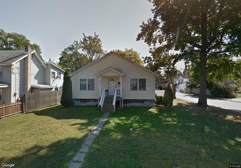
442 Hendrickson Ave Long Branch, NJ 07740
Estimated Value: $460,000 - $542,000
3
Beds
1
Bath
1,216
Sq Ft
$407/Sq Ft
Est. Value
About This Home
This home is located at 442 Hendrickson Ave, Long Branch, NJ 07740 and is currently estimated at $495,397, approximately $407 per square foot. 442 Hendrickson Ave is a home located in Monmouth County with nearby schools including Long Branch High School and Holy Trinity School.
Ownership History
Date
Name
Owned For
Owner Type
Purchase Details
Closed on
Dec 23, 2002
Sold by
Habitat For Humanity
Bought by
Davis Donna
Current Estimated Value
Home Financials for this Owner
Home Financials are based on the most recent Mortgage that was taken out on this home.
Original Mortgage
$58,800
Outstanding Balance
$25,166
Interest Rate
6.19%
Estimated Equity
$470,231
Create a Home Valuation Report for This Property
The Home Valuation Report is an in-depth analysis detailing your home's value as well as a comparison with similar homes in the area
Home Values in the Area
Average Home Value in this Area
Purchase History
| Date | Buyer | Sale Price | Title Company |
|---|---|---|---|
| Davis Donna | $72,000 | -- |
Source: Public Records
Mortgage History
| Date | Status | Borrower | Loan Amount |
|---|---|---|---|
| Open | Davis Donna | $58,800 |
Source: Public Records
Tax History
| Year | Tax Paid | Tax Assessment Tax Assessment Total Assessment is a certain percentage of the fair market value that is determined by local assessors to be the total taxable value of land and additions on the property. | Land | Improvement |
|---|---|---|---|---|
| 2025 | $4,998 | $404,400 | $195,300 | $209,100 |
| 2024 | $4,754 | $325,200 | $125,200 | $200,000 |
| 2023 | $4,754 | $306,100 | $115,200 | $190,900 |
| 2022 | $4,602 | $245,900 | $77,700 | $168,200 |
| 2021 | $4,602 | $230,000 | $70,700 | $159,300 |
| 2020 | $4,598 | $220,000 | $59,700 | $160,300 |
| 2019 | $4,465 | $212,400 | $57,700 | $154,700 |
| 2018 | $4,406 | $208,400 | $55,700 | $152,700 |
| 2017 | $4,272 | $207,300 | $55,700 | $151,600 |
| 2016 | $4,185 | $207,100 | $57,700 | $149,400 |
| 2015 | $4,127 | $185,300 | $58,700 | $126,600 |
| 2014 | $3,945 | $186,700 | $67,900 | $118,800 |
Source: Public Records
Map
Nearby Homes
- 401 Joline Ave
- 134 Lippincott Ave
- 117 Laurel St
- 139 Sixth Ave
- 75 Washington St
- 395 Broadway
- 428 Atlantic Ave
- 516 Atlantic Ave
- 40 N 5th Ave
- 267 N 5th Ave
- 631 Irving Place
- 282 Rockwell Ave
- 25 Community Place
- 40 University Dr
- 28 Morrell St
- 236 Seaview Ave
- 66 Seneca Place
- 75 Pearl St
- 68 Seneca Place
- 448 Branchport Ave
- 440 Hendrickson Ave
- 121 John St
- 436 Hendrickson Ave
- 448 Hendrickson Ave
- 434 Hendrickson Ave
- 115 John St
- 458 Hendrickson Ave
- 122 John St
- 456 Hendrickson Ave
- 120 John St
- 111 John St
- 447 Hendrickson Ave
- 104 John St
- 449 Hendrickson Ave
- 439 Hendrickson Ave
- 128 7th Ave
- 126 7th Ave
- 118 7th Ave
- 124 7th Ave
- 459 Hendrickson Ave
Your Personal Tour Guide
Ask me questions while you tour the home.