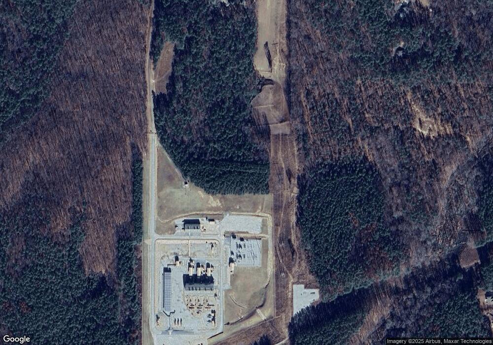
442 Keith Rd Newnan, GA 30263
Estimated Value: $273,000 - $414,424
3
Beds
2
Baths
2,531
Sq Ft
$126/Sq Ft
Est. Value
About This Home
This home is located at 442 Keith Rd, Newnan, GA 30263 and is currently estimated at $318,856, approximately $125 per square foot. 442 Keith Rd is a home located in Coweta County with nearby schools including Western Elementary School, Smokey Road Middle School, and Newnan High School.
Ownership History
Date
Name
Owned For
Owner Type
Purchase Details
Closed on
Jun 21, 2019
Sold by
Lineberry Courtis W
Bought by
Lineberry Courtis W and Iniekpo-Lineber Melinda Valerie
Current Estimated Value
Home Financials for this Owner
Home Financials are based on the most recent Mortgage that was taken out on this home.
Original Mortgage
$128,000
Outstanding Balance
$112,315
Interest Rate
4%
Mortgage Type
New Conventional
Estimated Equity
$206,541
Purchase Details
Closed on
Apr 30, 1983
Bought by
Laster Jerry
Create a Home Valuation Report for This Property
The Home Valuation Report is an in-depth analysis detailing your home's value as well as a comparison with similar homes in the area
Home Values in the Area
Average Home Value in this Area
Purchase History
| Date | Buyer | Sale Price | Title Company |
|---|---|---|---|
| Lineberry Courtis W | $160,000 | -- | |
| Lineberry Curtis W | $160,000 | -- | |
| Laster Jerry | $15,000 | -- |
Source: Public Records
Mortgage History
| Date | Status | Borrower | Loan Amount |
|---|---|---|---|
| Open | Lineberry Curtis W | $128,000 | |
| Closed | Lineberry Courtis W | $128,000 |
Source: Public Records
Tax History Compared to Growth
Tax History
| Year | Tax Paid | Tax Assessment Tax Assessment Total Assessment is a certain percentage of the fair market value that is determined by local assessors to be the total taxable value of land and additions on the property. | Land | Improvement |
|---|---|---|---|---|
| 2024 | $2,333 | $100,478 | $17,559 | $82,919 |
| 2023 | $2,333 | $96,100 | $12,342 | $83,758 |
| 2022 | $1,873 | $76,024 | $10,548 | $65,476 |
| 2021 | $1,904 | $72,330 | $10,046 | $62,284 |
| 2020 | $1,696 | $64,000 | $8,534 | $55,466 |
| 2019 | $1,937 | $66,177 | $15,633 | $50,544 |
| 2018 | $1,940 | $66,177 | $15,633 | $50,544 |
| 2017 | $1,940 | $66,177 | $15,632 | $50,545 |
| 2016 | $1,916 | $66,177 | $15,633 | $50,544 |
| 2015 | $1,884 | $66,177 | $15,633 | $50,544 |
| 2014 | $1,869 | $66,177 | $15,633 | $50,544 |
Source: Public Records
Map
Nearby Homes
- 97 Welcome Wood Dr
- 2372 Welcome Rd
- 378 Pierce Chapel Rd
- 2058 Welcome Rd
- 980 Providence Church Rd
- 119 Mckoy Rd
- 731 Summers McKoy Rd
- 450 Mckoy Rd
- 19 Quimby Jackson Rd
- 2678 Highway 34 W
- 15 Dixon Rd
- 20 Sunflower Dr
- 199 Sagebrook Ln
- 57 Scout Way
- 195 Frances Shirey Way
- 282 Sanders Davis Rd
- 927 Boy Scout Rd
- 712 Boy Scout Rd
- 2 Mount Carmel Rd
- 0 Ga Hwy 34 W Unit 21 10564723
- 440 Keith Rd
- 362 Keith Rd
- 364 Keith Rd
- 435 Keith Rd
- 451 Keith Rd
- 276 Keith Rd
- 274 Keith Rd
- 288 Keith Rd
- 292 Keith Rd
- 441 Keith Rd
- 447 Keith Rd Unit 5
- 5 Keith Rd
- 2694 Welcome Rd
- 0 Handy Rd Unit Tract 2 8436232
- 0 Handy Rd Unit Tract 2 8326002
- 0 Handy Rd Unit Tract 2 8241078
- 0 Handy Rd Unit 2736551
- 0 Handy Rd Unit 7248990
- 0 Handy Rd Unit 7437972
- 0 Handy Rd Unit 7446262
