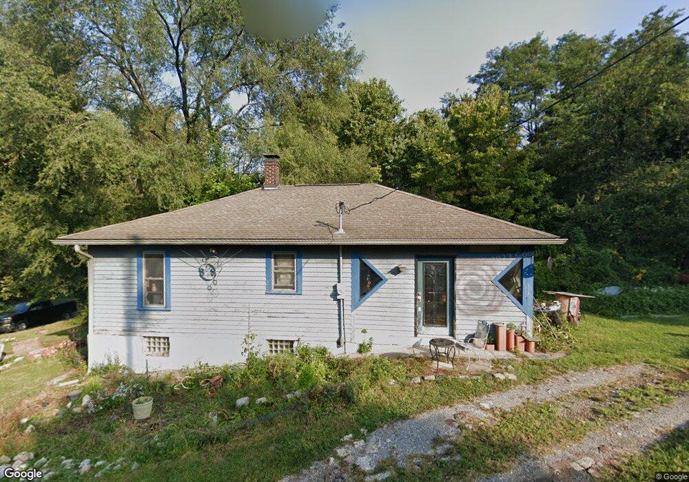
442 Loop St Collinsville, IL 62234
Estimated Value: $102,000 - $137,000
3
Beds
1
Bath
1,062
Sq Ft
$115/Sq Ft
Est. Value
About This Home
This home is located at 442 Loop St, Collinsville, IL 62234 and is currently estimated at $122,122, approximately $114 per square foot. 442 Loop St is a home located in Madison County with nearby schools including Webster Elementary School, Dorris Intermediate School, and Collinsville Middle School.
Ownership History
Date
Name
Owned For
Owner Type
Purchase Details
Closed on
Feb 24, 2010
Sold by
Conner Matthew and Conner Roger A
Bought by
People Of The State Of Illinois Departme
Current Estimated Value
Purchase Details
Closed on
Sep 12, 2006
Sold by
Conner Roger A and Conner Lee Ann
Bought by
Conner Matthew and Conner Roger A
Home Financials for this Owner
Home Financials are based on the most recent Mortgage that was taken out on this home.
Original Mortgage
$65,000
Interest Rate
8.65%
Mortgage Type
Construction
Purchase Details
Closed on
Jan 14, 2003
Sold by
Doss William R and Doss William E
Bought by
Conner Roger A and Conner Lee Ann
Create a Home Valuation Report for This Property
The Home Valuation Report is an in-depth analysis detailing your home's value as well as a comparison with similar homes in the area
Home Values in the Area
Average Home Value in this Area
Purchase History
| Date | Buyer | Sale Price | Title Company |
|---|---|---|---|
| People Of The State Of Illinois Departme | $10,650 | None Available | |
| Conner Matthew | $11,000 | Abstracts & Titles Inc | |
| Conner Roger A | -- | -- |
Source: Public Records
Mortgage History
| Date | Status | Borrower | Loan Amount |
|---|---|---|---|
| Previous Owner | Conner Matthew | $65,000 |
Source: Public Records
Tax History
| Year | Tax Paid | Tax Assessment Tax Assessment Total Assessment is a certain percentage of the fair market value that is determined by local assessors to be the total taxable value of land and additions on the property. | Land | Improvement |
|---|---|---|---|---|
| 2024 | $1,865 | $29,170 | $7,090 | $22,080 |
| 2023 | $1,751 | $26,600 | $6,420 | $20,180 |
| 2022 | $1,751 | $24,600 | $5,940 | $18,660 |
| 2021 | $1,596 | $23,110 | $5,580 | $17,530 |
| 2020 | $1,539 | $22,050 | $5,320 | $16,730 |
| 2019 | $1,499 | $21,300 | $5,140 | $16,160 |
| 2018 | $1,465 | $20,180 | $4,870 | $15,310 |
| 2017 | $1,468 | $19,780 | $4,770 | $15,010 |
| 2016 | $1,472 | $18,830 | $3,420 | $15,410 |
| 2015 | $1,381 | $18,340 | $3,330 | $15,010 |
| 2014 | $1,381 | $18,450 | $3,530 | $14,920 |
| 2013 | $1,381 | $18,450 | $3,530 | $14,920 |
Source: Public Records
Map
Nearby Homes
- 420 S Aurora St
- 121 S Seminary St
- 415 N Center St
- 106 Guinzy Hill
- 800 Cedar St
- 0 Elm St
- 411 N Aurora St
- 580 N Guernsey St
- 517 N Morrison Ave
- 913 W Main St
- 427 Valley Ln
- 620 N Guernsey St
- 147 W Wickliffe Ave
- 126 Collinsville Ave
- 717 N Morrison Ave
- 1029 Summer Ln
- Lot 32 Jefferson Ave
- Lot 37 Jefferson Ave
- Lot 38 Jefferson Ave
- Lot 20 Jefferson Ave
- 434 S Morrison Ave
- 440 Loop St
- 415 S Morrison Ave
- 445 S Chestnut St
- 441 S Chestnut St
- 449 S Chestnut St
- 409 S Morrison Ave
- 453 S Chestnut St
- 453 S Chestnut St
- 431 S Chestnut St
- 500 S Morrison Ave
- 200 Angle Ave
- 407 S Morrison Ave
- 414 S Morrison Ave
- 423 S Chestnut St
- 425 S Chestnut St
- 45 Angle St
- 504 S Morrison Ave
- 401 S Morrison Ave
- 410 S Morrison Ave
Your Personal Tour Guide
Ask me questions while you tour the home.