442 Lower Dr Kremmling, CO 80459
Estimated Value: $349,000 - $803,881
1
Bed
1
Bath
1,410
Sq Ft
$464/Sq Ft
Est. Value
About This Home
This home is located at 442 Lower Dr, Kremmling, CO 80459 and is currently estimated at $654,470, approximately $464 per square foot. 442 Lower Dr is a home with nearby schools including West Grand Elementary & Middle School and West Grand High School.
Ownership History
Date
Name
Owned For
Owner Type
Purchase Details
Closed on
Feb 3, 2017
Sold by
Molthen Eric and Molthen Dianne
Bought by
Colvin Bryon C and Colvin Carolyn E
Current Estimated Value
Home Financials for this Owner
Home Financials are based on the most recent Mortgage that was taken out on this home.
Original Mortgage
$260,000
Outstanding Balance
$215,869
Interest Rate
4.3%
Mortgage Type
New Conventional
Estimated Equity
$438,601
Purchase Details
Closed on
Jul 3, 2006
Sold by
Molthen Eric
Bought by
Molthen Eric and Molthen Dianne
Create a Home Valuation Report for This Property
The Home Valuation Report is an in-depth analysis detailing your home's value as well as a comparison with similar homes in the area
Home Values in the Area
Average Home Value in this Area
Purchase History
| Date | Buyer | Sale Price | Title Company |
|---|---|---|---|
| Colvin Bryon C | $325,000 | Title Company Of The Rockies | |
| Molthen Eric | -- | None Available | |
| Molthen Eric | -- | None Available |
Source: Public Records
Mortgage History
| Date | Status | Borrower | Loan Amount |
|---|---|---|---|
| Open | Colvin Bryon C | $260,000 |
Source: Public Records
Tax History Compared to Growth
Tax History
| Year | Tax Paid | Tax Assessment Tax Assessment Total Assessment is a certain percentage of the fair market value that is determined by local assessors to be the total taxable value of land and additions on the property. | Land | Improvement |
|---|---|---|---|---|
| 2024 | $2,922 | $56,890 | $4,960 | $51,930 |
| 2023 | $2,922 | $56,890 | $4,960 | $51,930 |
| 2022 | $2,587 | $44,720 | $3,210 | $41,510 |
| 2021 | $2,646 | $46,000 | $3,300 | $42,700 |
| 2020 | $1,668 | $32,410 | $4,330 | $28,080 |
| 2019 | $1,673 | $32,410 | $4,330 | $28,080 |
| 2018 | $1,114 | $21,600 | $2,400 | $19,200 |
| 2017 | $1,139 | $21,600 | $2,400 | $19,200 |
| 2016 | $1,193 | $24,200 | $3,010 | $21,190 |
| 2015 | $578 | $24,200 | $3,010 | $21,190 |
| 2014 | $578 | $13,030 | $0 | $13,030 |
Source: Public Records
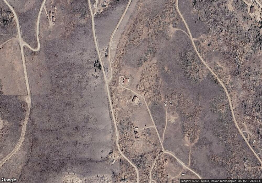
Map
Nearby Homes
- 1102 Ridge Dr
- 2884 Gcr 2415
- 1121 Gcr 2416
- 1476 Gcr 2416
- 12111 Gcr 2
- 335 Gcr 2231
- 400 Gcr 22313
- 1020 Gcr 22317
- 19683 Us Highway 40
- 19683 Highway 40 W
- 950 Gcr 21
- 921 Gcr 21
- 243 Gcr 21
- 2055 Gcr 224
- 500 N 12th St Unit A-6
- 500 N 12th St Unit G-9
- 500 N 12th St Unit B-7
- 1237 Muddy Dr
- 1115 Bluff Ave
- 1113 Bluff Ave
- 114 Gcr 2414
- 1001 Ridge Dr
- 359 Gcr 2414
- 656 Lower Dr
- 873 County Rd
- 297 Lower Dr
- 1102 County Road 2412
- 2249 County Road 2415
- 0 County Road 2415
- 3026 County Road 2415
- 173 County Road 2414
- 1201 County Road 2414
- 0 916 Cr 2412 Ridge
- 1194 County Road 2412
- 1378 County Road 2412
- 626/688 County Road 2412
- 936 Ridge Dr
- 688 County Road 2412
- 626 County Road 2412
- 1000 Ridge Dr