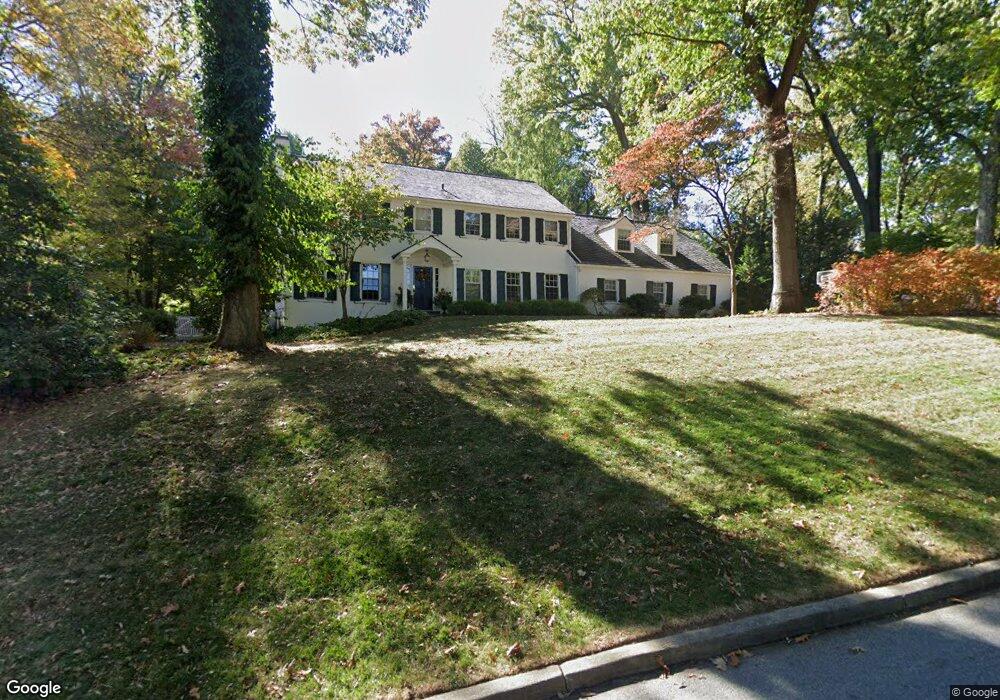
442 Margo Ln Berwyn, PA 19312
Estimated Value: $1,290,000 - $1,653,000
5
Beds
5
Baths
3,320
Sq Ft
$424/Sq Ft
Est. Value
About This Home
This home is located at 442 Margo Ln, Berwyn, PA 19312 and is currently estimated at $1,408,598, approximately $424 per square foot. 442 Margo Ln is a home located in Chester County with nearby schools including Hillside Elementary School, Valley Forge Middle School, and Conestoga Senior High School.
Ownership History
Date
Name
Owned For
Owner Type
Purchase Details
Closed on
Sep 30, 1996
Sold by
Matson Erik W and Matson Julia G
Bought by
Vila Carlos E and Smith Theresa M
Current Estimated Value
Home Financials for this Owner
Home Financials are based on the most recent Mortgage that was taken out on this home.
Original Mortgage
$424,350
Outstanding Balance
$39,412
Interest Rate
8.22%
Estimated Equity
$1,369,186
Purchase Details
Closed on
Aug 11, 1995
Sold by
Sharp Michael A and Sharp Karen M
Bought by
Matson Erik W and Matson Julia G
Home Financials for this Owner
Home Financials are based on the most recent Mortgage that was taken out on this home.
Original Mortgage
$372,400
Interest Rate
7.61%
Purchase Details
Closed on
Sep 26, 1994
Sold by
Groves Richard H and Groves Mary Ann
Bought by
Sharp Michael A and Sharp Karen M
Home Financials for this Owner
Home Financials are based on the most recent Mortgage that was taken out on this home.
Original Mortgage
$347,600
Interest Rate
6.62%
Create a Home Valuation Report for This Property
The Home Valuation Report is an in-depth analysis detailing your home's value as well as a comparison with similar homes in the area
Home Values in the Area
Average Home Value in this Area
Purchase History
| Date | Buyer | Sale Price | Title Company |
|---|---|---|---|
| Vila Carlos E | $471,500 | -- | |
| Matson Erik W | $465,500 | -- | |
| Sharp Michael A | $397,000 | -- |
Source: Public Records
Mortgage History
| Date | Status | Borrower | Loan Amount |
|---|---|---|---|
| Open | Vila Carlos E | $424,350 | |
| Previous Owner | Matson Erik W | $372,400 | |
| Previous Owner | Sharp Michael A | $347,600 |
Source: Public Records
Tax History Compared to Growth
Tax History
| Year | Tax Paid | Tax Assessment Tax Assessment Total Assessment is a certain percentage of the fair market value that is determined by local assessors to be the total taxable value of land and additions on the property. | Land | Improvement |
|---|---|---|---|---|
| 2025 | $15,584 | $442,430 | $137,080 | $305,350 |
| 2024 | $15,584 | $442,430 | $137,080 | $305,350 |
| 2023 | $14,639 | $442,430 | $137,080 | $305,350 |
| 2022 | $14,261 | $442,430 | $137,080 | $305,350 |
| 2021 | $13,990 | $442,430 | $137,080 | $305,350 |
| 2020 | $13,604 | $442,430 | $137,080 | $305,350 |
| 2019 | $13,174 | $442,430 | $137,080 | $305,350 |
| 2018 | $12,913 | $442,430 | $137,080 | $305,350 |
| 2017 | $12,605 | $442,430 | $137,080 | $305,350 |
| 2016 | -- | $442,430 | $137,080 | $305,350 |
| 2015 | -- | $442,430 | $137,080 | $305,350 |
| 2014 | -- | $442,430 | $137,080 | $305,350 |
Source: Public Records
Map
Nearby Homes
- 1 Lfleur Unit 1
- 530 Bair Rd
- 395 Bair Rd
- 53 Branch Ave
- 406 Brighton Cir
- 2 Ile Dhuyere Unit 2
- 6 Avignon Unit 6
- 6 Ile Dhuyere
- 8 Brettagne Unit 8
- 875 Old State Rd
- 387 Devonshire Rd
- 306 Devonshire Rd
- 328 W Conestoga Rd
- 211 Wooded Way
- 553 Woodside Ave
- 52 Aiken Ave
- 909 Old Lancaster Rd
- 302 Old Lancaster Rd
- 524 Woodside Ave
- 91 Central Ave