Estimated Value: $194,000 - $216,000
4
Beds
2
Baths
1,104
Sq Ft
$186/Sq Ft
Est. Value
About This Home
This home is located at 442 Melanie Ln, Ripon, WI 54971 and is currently estimated at $204,969, approximately $185 per square foot. 442 Melanie Ln is a home located in Fond du Lac County with nearby schools including Barlow Park Elementary School, Murray Park Elementary School, and Ripon Middle School.
Ownership History
Date
Name
Owned For
Owner Type
Purchase Details
Closed on
Feb 1, 2017
Sold by
Retzlaff Tricia and Estate Of Alvin G Guderski
Bought by
Matthews Johnathon I
Current Estimated Value
Home Financials for this Owner
Home Financials are based on the most recent Mortgage that was taken out on this home.
Original Mortgage
$2,358
Outstanding Balance
$260
Interest Rate
4.2%
Mortgage Type
New Conventional
Estimated Equity
$204,709
Create a Home Valuation Report for This Property
The Home Valuation Report is an in-depth analysis detailing your home's value as well as a comparison with similar homes in the area
Home Values in the Area
Average Home Value in this Area
Purchase History
We collect this data history from publicly available records. To have your information removed, we recommend requesting removal directly through your county’s website.
| Date | Buyer | Sale Price | Title Company |
|---|---|---|---|
| Matthews Johnathon I | $78,600 | None Available |
Source: Public Records
Mortgage History
We collect this data history from publicly available records. To have your information removed, we recommend requesting removal directly through your county’s website.
| Date | Status | Borrower | Loan Amount |
|---|---|---|---|
| Open | Matthews Johnathon I | $2,358 | |
| Open | Matthews Johnathon I | $76,242 |
Source: Public Records
Tax History
| Year | Tax Paid | Tax Assessment Tax Assessment Total Assessment is a certain percentage of the fair market value that is determined by local assessors to be the total taxable value of land and additions on the property. | Land | Improvement |
|---|---|---|---|---|
| 2025 | $2,239 | $100,400 | $19,500 | $80,900 |
| 2024 | $2,037 | $100,400 | $19,500 | $80,900 |
| 2023 | $1,950 | $100,400 | $19,500 | $80,900 |
| 2022 | $1,905 | $100,400 | $19,500 | $80,900 |
| 2021 | $1,887 | $100,400 | $19,500 | $80,900 |
| 2020 | $2,099 | $99,200 | $19,500 | $79,700 |
| 2019 | $2,123 | $99,200 | $19,500 | $79,700 |
| 2018 | $1,870 | $94,000 | $19,500 | $74,500 |
| 2017 | $2,206 | $107,000 | $27,500 | $79,500 |
| 2016 | $2,293 | $107,000 | $27,500 | $79,500 |
| 2015 | $2,453 | $107,000 | $27,500 | $79,500 |
| 2014 | $2,416 | $107,000 | $27,500 | $79,500 |
| 2013 | $2,384 | $107,000 | $27,500 | $79,500 |
Source: Public Records
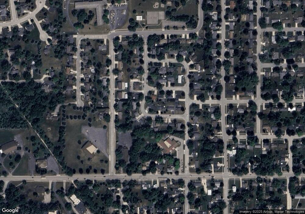
Map
Nearby Homes
- 659 Hamburg St
- 406 Hamburg St
- 632 Cambridge Dr
- 536 Eureka St
- 754 Kensington Dr
- 742 Kensington Dr
- 730 Kensington Dr
- 314 Eureka St
- 114 Watson St
- 205 State St
- 125 Watson St
- 301 Drumlin Loop
- 333 Drumlin Loop
- 309 Drumlin Loop
- 317 W Thorne St
- 290 Moraine Dr
- 291 Moraine Dr
- 274 Moraine Dr
- 234 Moraine Dr
- 216 E Fond du Lac St
- 449 Melanie Ln
- 457 Melanie Ln
- 501 Melanie Ln
- 441 Melanie Ln
- 434 Melanie Ln
- 518 Melanie Ln
- 433 Todd Place
- 433 Melanie Ln
- 509 Melanie Ln
- 426 Melanie Ln
- 517 Melanie Ln
- 425 Todd Place
- 525 Melanie Ln
- 425 Melanie Ln
- 418 Melanie Ln
- 600 Melanie Ln
- 417 Todd Place
- 430 Todd Place
- 533 Mayparty Dr
- 535 Mayparty Dr
Your Personal Tour Guide
Ask me questions while you tour the home.