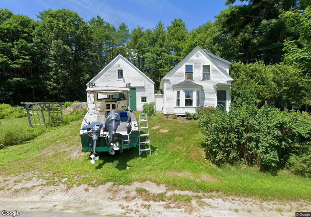
442 N Howe Rd Whitefield, ME 04353
Estimated Value: $245,000 - $384,000
--
Bed
--
Bath
546
Sq Ft
$534/Sq Ft
Est. Value
About This Home
This home is located at 442 N Howe Rd, Whitefield, ME 04353 and is currently estimated at $291,613, approximately $534 per square foot. 442 N Howe Rd is a home with nearby schools including Whitefield Elementary School.
Ownership History
Date
Name
Owned For
Owner Type
Purchase Details
Closed on
Jul 20, 2016
Sold by
Msha
Bought by
Spencer Stephan W and Seigars Libbey A
Current Estimated Value
Purchase Details
Closed on
Jun 3, 2005
Sold by
Seigars Libbey A
Bought by
Seigars Libbey A and Spencer Stephen W
Home Financials for this Owner
Home Financials are based on the most recent Mortgage that was taken out on this home.
Original Mortgage
$33,800
Interest Rate
5.83%
Mortgage Type
Unknown
Create a Home Valuation Report for This Property
The Home Valuation Report is an in-depth analysis detailing your home's value as well as a comparison with similar homes in the area
Home Values in the Area
Average Home Value in this Area
Purchase History
| Date | Buyer | Sale Price | Title Company |
|---|---|---|---|
| Spencer Stephan W | -- | -- | |
| Seigars Libbey A | -- | -- |
Source: Public Records
Mortgage History
| Date | Status | Borrower | Loan Amount |
|---|---|---|---|
| Previous Owner | Seigars Libbey A | $33,800 |
Source: Public Records
Tax History Compared to Growth
Tax History
| Year | Tax Paid | Tax Assessment Tax Assessment Total Assessment is a certain percentage of the fair market value that is determined by local assessors to be the total taxable value of land and additions on the property. | Land | Improvement |
|---|---|---|---|---|
| 2025 | $2,392 | $233,800 | $66,900 | $166,900 |
| 2024 | $2,354 | $233,800 | $66,900 | $166,900 |
| 2023 | $1,550 | $96,846 | $30,960 | $65,886 |
| 2022 | $1,619 | $96,846 | $30,960 | $65,886 |
| 2020 | $1,519 | $96,846 | $30,960 | $65,886 |
| 2019 | $1,520 | $96,846 | $30,960 | $65,886 |
| 2018 | $1,454 | $96,846 | $30,960 | $65,886 |
| 2017 | $1,336 | $96,846 | $30,960 | $65,886 |
| 2016 | $1,453 | $96,846 | $30,960 | $65,886 |
| 2015 | $1,424 | $96,846 | $30,960 | $65,886 |
| 2014 | $1,380 | $96,846 | $30,960 | $65,886 |
| 2013 | $1,477 | $96,846 | $30,960 | $65,886 |
Source: Public Records
Map
Nearby Homes
- 815 Augusta Rd
- 24 Stone House Ct
- 7 Devine Rd
- 295 Coopers Mills Rd
- 206 Maxcy's Mill Rd
- 10 Ridge Rd
- Off Munsey Rd
- 214 Augusta Rockland Rd
- M19-L16-1 Augusta Rd
- 48 Augusta Rd
- 73 Hodsdon Ln
- 68 Marus Ln
- 90 Gardiner Rd
- 25 Rockwood Estates
- 21 Rockwood Estates
- 70 Greeley Rd
- 329 Reed Rd
- 3 Elmwood Ave
- 20 Pitt Rd
- 300 Jones Rd