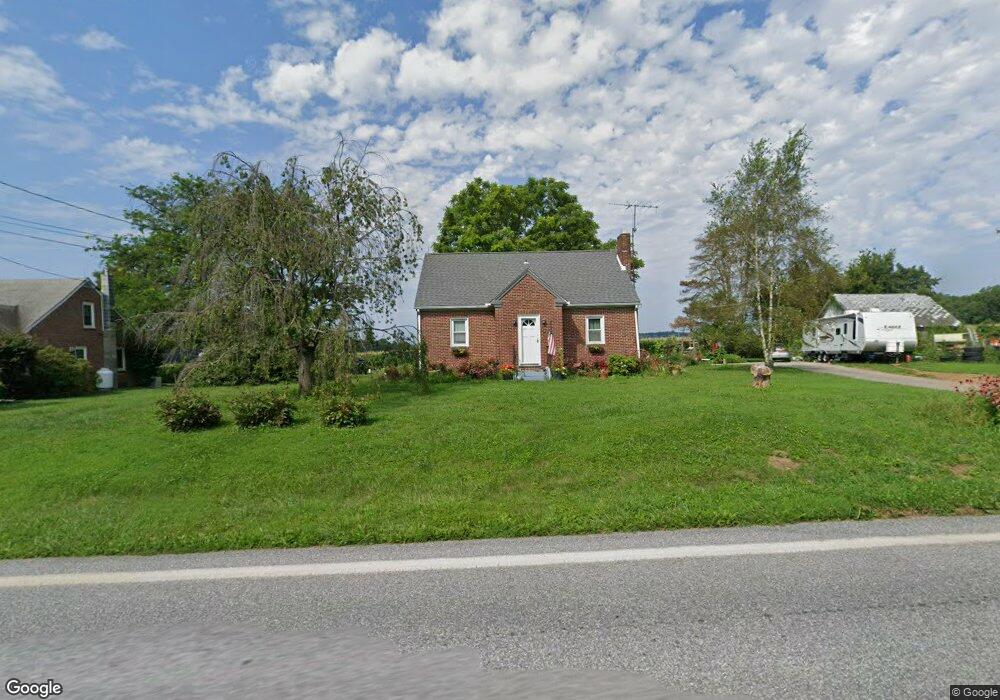
442 N Market St Fawn Grove, PA 17321
Estimated Value: $256,111 - $296,000
2
Beds
2
Baths
1,159
Sq Ft
$234/Sq Ft
Est. Value
About This Home
This home is located at 442 N Market St, Fawn Grove, PA 17321 and is currently estimated at $271,778, approximately $234 per square foot. 442 N Market St is a home located in York County with nearby schools including South Eastern Intermediate School, South Eastern Middle School, and Kennard-Dale High School.
Ownership History
Date
Name
Owned For
Owner Type
Purchase Details
Closed on
Jul 27, 2001
Sold by
Linkous Michael T and Linkous Mary A
Bought by
Frith Jason R and Frith Michelle L
Current Estimated Value
Home Financials for this Owner
Home Financials are based on the most recent Mortgage that was taken out on this home.
Original Mortgage
$116,082
Outstanding Balance
$45,380
Interest Rate
7.18%
Mortgage Type
FHA
Estimated Equity
$226,398
Purchase Details
Closed on
Aug 1, 1980
Bought by
Linkous Michael T and Linkous Mary A
Create a Home Valuation Report for This Property
The Home Valuation Report is an in-depth analysis detailing your home's value as well as a comparison with similar homes in the area
Home Values in the Area
Average Home Value in this Area
Purchase History
| Date | Buyer | Sale Price | Title Company |
|---|---|---|---|
| Frith Jason R | $117,000 | -- | |
| Linkous Michael T | $55,000 | -- |
Source: Public Records
Mortgage History
| Date | Status | Borrower | Loan Amount |
|---|---|---|---|
| Open | Frith Jason R | $116,082 |
Source: Public Records
Tax History Compared to Growth
Tax History
| Year | Tax Paid | Tax Assessment Tax Assessment Total Assessment is a certain percentage of the fair market value that is determined by local assessors to be the total taxable value of land and additions on the property. | Land | Improvement |
|---|---|---|---|---|
| 2025 | $3,543 | $113,740 | $27,390 | $86,350 |
| 2024 | $3,543 | $113,740 | $27,390 | $86,350 |
| 2023 | $3,543 | $113,740 | $27,390 | $86,350 |
| 2022 | $3,543 | $113,740 | $27,390 | $86,350 |
| 2021 | $3,429 | $113,740 | $27,390 | $86,350 |
| 2020 | $3,429 | $113,740 | $27,390 | $86,350 |
| 2019 | $3,418 | $113,740 | $27,390 | $86,350 |
| 2018 | $3,418 | $113,740 | $27,390 | $86,350 |
| 2017 | $3,418 | $113,740 | $27,390 | $86,350 |
| 2016 | $0 | $113,740 | $27,390 | $86,350 |
| 2015 | -- | $113,740 | $27,390 | $86,350 |
| 2014 | -- | $113,740 | $27,390 | $86,350 |
Source: Public Records
Map
Nearby Homes
- 31 N Market St
- 1701 Scott Rd
- 387 Garvine Mill Rd
- 2131 Channel Rd
- 194 Cook Rd
- 267 Cook Rd
- 2913 Whiteford Rd
- 101 Saint Marys Rd
- Lot 4 Ridge Rd
- 216 Meadow Trail
- Parcel 859 Neill Run Rd
- 46 Corn Tassel Rd
- 8290 Woodbine Rd
- Lot C Bryansville Rd
- 0 Lutz Rd Unit PAYK2091350
- 4816 Amos Rd
- 0 Dogwood Rd
- 53 Dogwood Rd
- 76 Laurel Dr
- 0 Valley Ln
- 488 N Market St
- 441 N Market St
- 6 W Woodbine Rd
- 2 Thompson Rd
- 1 Thompson Rd
- 3 Thompson Rd
- 4 Thompson Rd
- 5 Thompson Rd
- 6 Thompson Rd
- 12 W Woodbine Rd
- 460 Thompson Rd
- 7 Thompson Rd
- 8 Thompson Rd
- 9 Thompson Rd
- 10 Thompson Rd
- 425 N Market St
- 405 N Market St
- 487 N Market St
- 397 N Market St
- 498 N Market St