442 N Tower Rd Fombell, PA 16123
Franklin Township NeighborhoodEstimated Value: $238,000 - $352,000
3
Beds
1
Bath
2,511
Sq Ft
$114/Sq Ft
Est. Value
About This Home
This home is located at 442 N Tower Rd, Fombell, PA 16123 and is currently estimated at $285,205, approximately $113 per square foot. 442 N Tower Rd is a home located in Beaver County with nearby schools including Riverside Elementary School, Riverside Middle School, and Riverside High School.
Ownership History
Date
Name
Owned For
Owner Type
Purchase Details
Closed on
Jun 18, 2010
Sold by
Anderson Cory S
Bought by
Blinn Paul L and Fischer Lindsay L
Current Estimated Value
Purchase Details
Closed on
Apr 22, 2005
Sold by
Parasida Esther F
Bought by
Anderson Cory
Home Financials for this Owner
Home Financials are based on the most recent Mortgage that was taken out on this home.
Original Mortgage
$75,000
Interest Rate
6.05%
Mortgage Type
New Conventional
Create a Home Valuation Report for This Property
The Home Valuation Report is an in-depth analysis detailing your home's value as well as a comparison with similar homes in the area
Home Values in the Area
Average Home Value in this Area
Purchase History
| Date | Buyer | Sale Price | Title Company |
|---|---|---|---|
| Blinn Paul L | $76,501 | None Available | |
| Anderson Cory | $93,750 | -- |
Source: Public Records
Mortgage History
| Date | Status | Borrower | Loan Amount |
|---|---|---|---|
| Previous Owner | Anderson Cory | $75,000 |
Source: Public Records
Tax History Compared to Growth
Tax History
| Year | Tax Paid | Tax Assessment Tax Assessment Total Assessment is a certain percentage of the fair market value that is determined by local assessors to be the total taxable value of land and additions on the property. | Land | Improvement |
|---|---|---|---|---|
| 2025 | $685 | $93,350 | $24,950 | $68,400 |
| 2024 | $2,723 | $93,350 | $24,950 | $68,400 |
| 2023 | $3,812 | $36,650 | $6,850 | $29,800 |
| 2022 | $3,020 | $29,450 | $6,850 | $22,600 |
| 2021 | $3,020 | $29,450 | $6,850 | $22,600 |
| 2020 | $2,961 | $29,450 | $6,850 | $22,600 |
| 2019 | $2,961 | $29,450 | $6,850 | $22,600 |
| 2018 | $2,917 | $29,450 | $6,850 | $22,600 |
| 2017 | $2,917 | $29,450 | $6,850 | $22,600 |
| 2016 | $2,746 | $29,450 | $6,850 | $22,600 |
| 2015 | $654 | $29,450 | $6,850 | $22,600 |
| 2014 | $654 | $29,450 | $6,850 | $22,600 |
Source: Public Records
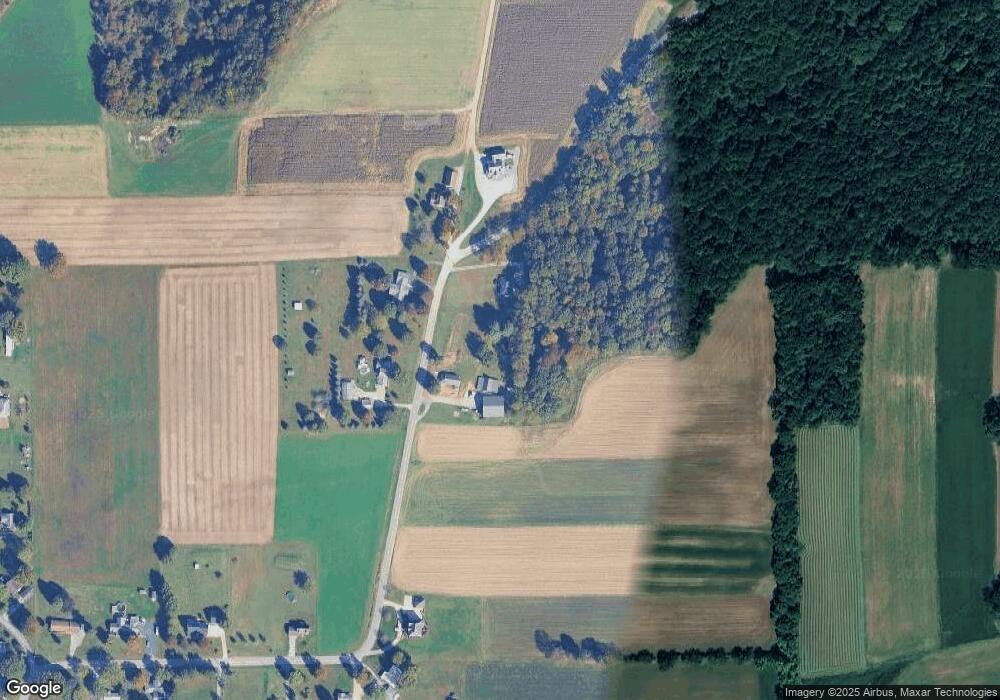
Map
Nearby Homes
- 470 Route 288
- 3251 Grandview Rd
- 3405 Grandview Rd
- 3790 Grandview Rd
- 3777 Grandview Rd
- 557 Morningstar Dr
- 500 Morningstar Dr
- 323 Morrison Ave
- 150 Clearwater Dr
- 1378 Mile Hill Rd
- 944 van Gorder Mill Rd
- 114 Pine Hill Way
- 115 Ada Dr
- 00 Mckim Way
- 525 Deemer Ave
- 322 Virginia Ave
- 449 Country Club Dr Unit 8
- 222 Mahony Ave
- 412 Circle Dr
- 115 Vista Ln
- 456 N Tower Rd
- 441 N Tower Rd
- 441 N Tower Rd
- 451 N Tower Rd
- 414 N Tower Rd
- 410 N Tower Rd
- 408 N Tower Rd
- 389 N Tower Rd
- 400 N Tower Rd
- 394 N Tower Rd
- 383 N Tower Rd
- 388 N Tower Rd
- 130 Lynnwood Dr
- 136 Lynnwood Dr
- 375 N Tower Rd
- 118 Lynnwood Dr
- 106 Lynnwood Dr
- 376 N Tower Rd
- 115 Lynnwood Dr
- 125 Lynnwood Dr