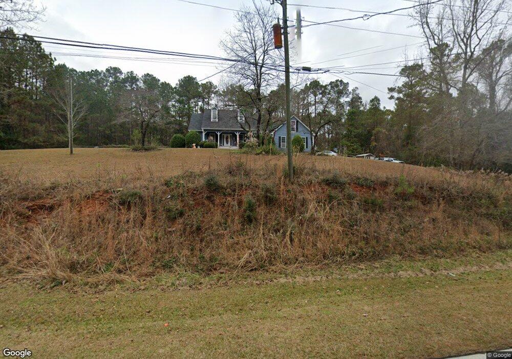
442 Newton Rd Lagrange, GA 30240
Estimated Value: $266,000 - $290,365
3
Beds
3
Baths
1,797
Sq Ft
$154/Sq Ft
Est. Value
About This Home
This home is located at 442 Newton Rd, Lagrange, GA 30240 and is currently estimated at $276,091, approximately $153 per square foot. 442 Newton Rd is a home located in Troup County with nearby schools including Long Cane Elementary School, Berta Weathersbee Elementary School, and Whitesville Road Elementary School.
Ownership History
Date
Name
Owned For
Owner Type
Purchase Details
Closed on
Aug 1, 1995
Sold by
Nix Nix and Nix Davidson
Bought by
Dollar Donald S and Dollar Regina
Current Estimated Value
Purchase Details
Closed on
Mar 9, 1995
Sold by
E N C
Bought by
Nix Nix and Nix Davidson
Purchase Details
Closed on
May 14, 1991
Sold by
Chas Knight and Chas Smith
Bought by
E N C
Purchase Details
Closed on
Sep 1, 1976
Sold by
Smith Smith and Smith Knight
Bought by
Chas Knight and Chas Smith
Create a Home Valuation Report for This Property
The Home Valuation Report is an in-depth analysis detailing your home's value as well as a comparison with similar homes in the area
Purchase History
| Date | Buyer | Sale Price | Title Company |
|---|---|---|---|
| Dollar Donald S | $7,500 | -- | |
| Nix Nix | $6,000 | -- | |
| E N C | $30,800 | -- | |
| Chas Knight | $32,000 | -- |
Source: Public Records
Tax History
| Year | Tax Paid | Tax Assessment Tax Assessment Total Assessment is a certain percentage of the fair market value that is determined by local assessors to be the total taxable value of land and additions on the property. | Land | Improvement |
|---|---|---|---|---|
| 2025 | $1,952 | $89,680 | $10,000 | $79,680 |
| 2024 | $1,952 | $79,400 | $10,000 | $69,400 |
| 2023 | $1,379 | $76,280 | $10,000 | $66,280 |
| 2022 | $1,990 | $73,280 | $10,000 | $63,280 |
| 2021 | $1,964 | $67,120 | $8,000 | $59,120 |
| 2020 | $1,964 | $67,120 | $8,000 | $59,120 |
| 2019 | $1,753 | $60,120 | $8,000 | $52,120 |
| 2018 | $1,750 | $60,000 | $5,800 | $54,200 |
| 2017 | $1,750 | $60,000 | $5,800 | $54,200 |
| 2016 | $1,730 | $59,358 | $5,800 | $53,558 |
| 2015 | $1,450 | $49,964 | $5,800 | $44,164 |
| 2014 | $1,382 | $47,640 | $5,800 | $41,840 |
| 2013 | -- | $49,584 | $5,800 | $43,784 |
Source: Public Records
Map
Nearby Homes
- 474 Newton Rd
- 101 Ivy Springs Dr
- 311 Cumberland Dr
- 113 Colonial Ct Unit 100
- 119 Plymouth Dr
- 104 Hidden Springs Dr
- 114 Riverbluff Dr
- 106 Landings Way
- 135 Planters Ridge Dr
- 104 Landings Way
- 102 Landings Way
- 201 Lakeview Ct
- 109 Riverbluff Dr
- 101 Riverbluff Dr
- 104 Bridlewood Dr
- 266 Glass Bridge Rd
- 640 Hudson Rd
- 213 Linda Ln
- 124 Foxdale Dr
- 3835 W Point Rd
- 460 Newton Rd
- 101 Wilson Creek Dr
- 398 Newton Rd
- 100 Timber Ridge Dr
- 201 Cumberland Dr
- 103 Wilson Creek Dr
- 104 Wilson Creek Dr
- 386 Newton Rd
- 200 Cumberland Dr
- 203 Cumberland Dr
- 16 River Point Dr
- 106 Wilson Creek Dr
- 202 Cumberland Dr
- 107 Wilson Creek Dr
- 108 Timber Ridge Dr
- 370 Newton Rd
- 103 Timber Ridge Dr
- 205 Cumberland Dr
- 485 Newton Rd
- 109 Wilson Creek Dr