442 Pittstown Rd Pittstown, NJ 08867
Franklin NeighborhoodEstimated Value: $791,000 - $946,000
--
Bed
--
Bath
3,988
Sq Ft
$220/Sq Ft
Est. Value
About This Home
This home is located at 442 Pittstown Rd, Pittstown, NJ 08867 and is currently estimated at $875,809, approximately $219 per square foot. 442 Pittstown Rd is a home located in Hunterdon County with nearby schools including Franklin Township School and North Hunterdon High School.
Ownership History
Date
Name
Owned For
Owner Type
Purchase Details
Closed on
Jul 26, 2004
Sold by
Westfield Joseph and Westfield Elaine
Bought by
Kirsch Robert L and Kirsch Judith A
Current Estimated Value
Home Financials for this Owner
Home Financials are based on the most recent Mortgage that was taken out on this home.
Original Mortgage
$61,000
Outstanding Balance
$30,570
Interest Rate
6.16%
Mortgage Type
New Conventional
Estimated Equity
$845,239
Create a Home Valuation Report for This Property
The Home Valuation Report is an in-depth analysis detailing your home's value as well as a comparison with similar homes in the area
Home Values in the Area
Average Home Value in this Area
Purchase History
| Date | Buyer | Sale Price | Title Company |
|---|---|---|---|
| Kirsch Robert L | $490,000 | Stewart Title Guaranty Co |
Source: Public Records
Mortgage History
| Date | Status | Borrower | Loan Amount |
|---|---|---|---|
| Open | Kirsch Robert L | $61,000 |
Source: Public Records
Tax History Compared to Growth
Tax History
| Year | Tax Paid | Tax Assessment Tax Assessment Total Assessment is a certain percentage of the fair market value that is determined by local assessors to be the total taxable value of land and additions on the property. | Land | Improvement |
|---|---|---|---|---|
| 2025 | $16,265 | $541,100 | $185,000 | $356,100 |
| 2024 | $15,378 | $541,100 | $185,000 | $356,100 |
| 2023 | $15,378 | $541,100 | $185,000 | $356,100 |
| 2022 | $15,281 | $541,100 | $185,000 | $356,100 |
| 2021 | $14,713 | $541,100 | $185,000 | $356,100 |
| 2020 | $14,805 | $541,100 | $185,000 | $356,100 |
| 2019 | $14,951 | $541,100 | $185,000 | $356,100 |
| 2018 | $14,117 | $541,100 | $185,000 | $356,100 |
| 2017 | $13,847 | $541,100 | $185,000 | $356,100 |
| 2016 | $13,452 | $541,100 | $185,000 | $356,100 |
| 2015 | $13,414 | $541,100 | $185,000 | $356,100 |
| 2014 | $13,690 | $541,100 | $185,000 | $356,100 |
Source: Public Records
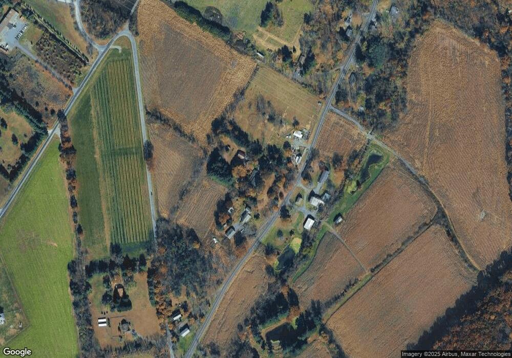
Map
Nearby Homes
- 39 Sky Manor Rd
- 14 Woodland Rd
- 32 Quakertown Rd
- 710 County Road 513
- 12 Baker Rd
- 383 Pittstown Rd
- 1 Shy Creek Rd
- 24 Locust Grove Rd
- 152 White Bridge Rd
- 72 Hampton Rd
- 6 Wyckoff Dr
- 9 Stires Way
- 271 County Road 513
- 2 Smoke Run
- 617 County Road 579
- 364 Oak Grove Rd
- 1491&1493 Cty Rd 519
- 584 Oak Grove Rd
- 60 Perryville Rd
- 139 Upper Kingtown Rd
- 444 Pittstown Rd
- 440 Pittstown Rd
- 436 Pittstown Rd
- 435 Pittstown Rd
- 2 Sky Manor Rd
- 434 Pittstown Rd
- 7 Sky Manor Rd
- 5 Sky Manor Rd
- 431 Pittstown Rd
- 616 County 513 Rd
- 425 Pittstown Rd
- 26 Sky Manor Rd Unit 26
- 26 Sky Manor Rd
- 26 Sky Manor Rd Unit B
- 8 Jeremiah Ln
- 461 Pittstown Rd
- 34 Sky Manor Rd
- 10 Jeremiah Ln
- 463 Pittstown Rd
- 460 Pittstown Rd