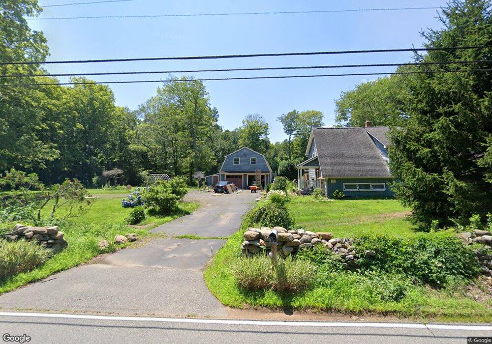
442 Route 148 Killingworth, CT 06419
Estimated Value: $431,000 - $467,000
4
Beds
2
Baths
1,014
Sq Ft
$448/Sq Ft
Est. Value
About This Home
This home is located at 442 Route 148, Killingworth, CT 06419 and is currently estimated at $453,876, approximately $447 per square foot. 442 Route 148 is a home located in Middlesex County with nearby schools including Haddam-Killingworth High School and Haddam-Killingworth Intermediate School.
Ownership History
Date
Name
Owned For
Owner Type
Purchase Details
Closed on
Apr 13, 2016
Sold by
Brunjes Joseph O and Brunjes Johanna R
Bought by
Goldbach Stephanie and Grant Rob
Current Estimated Value
Home Financials for this Owner
Home Financials are based on the most recent Mortgage that was taken out on this home.
Original Mortgage
$228,779
Outstanding Balance
$184,330
Interest Rate
4.12%
Mortgage Type
FHA
Estimated Equity
$269,546
Purchase Details
Closed on
Mar 13, 2013
Sold by
Monroe Kerry I and Monroe Linda W
Bought by
Brunjes Joseph O and Brunjes Johanna R
Create a Home Valuation Report for This Property
The Home Valuation Report is an in-depth analysis detailing your home's value as well as a comparison with similar homes in the area
Home Values in the Area
Average Home Value in this Area
Purchase History
| Date | Buyer | Sale Price | Title Company |
|---|---|---|---|
| Goldbach Stephanie | $233,000 | -- | |
| Brunjes Joseph O | $260,000 | -- |
Source: Public Records
Mortgage History
| Date | Status | Borrower | Loan Amount |
|---|---|---|---|
| Open | Brunjes Joseph O | $228,779 | |
| Previous Owner | Brunjes Joseph O | $210,000 |
Source: Public Records
Tax History Compared to Growth
Tax History
| Year | Tax Paid | Tax Assessment Tax Assessment Total Assessment is a certain percentage of the fair market value that is determined by local assessors to be the total taxable value of land and additions on the property. | Land | Improvement |
|---|---|---|---|---|
| 2025 | $4,946 | $188,650 | $66,500 | $122,150 |
| 2024 | $4,569 | $188,650 | $66,500 | $122,150 |
| 2023 | $4,428 | $188,650 | $66,500 | $122,150 |
| 2022 | $4,380 | $188,650 | $66,500 | $122,150 |
| 2021 | $0 | $163,650 | $69,990 | $93,660 |
| 2020 | $4,373 | $163,650 | $69,990 | $93,660 |
| 2019 | $4,259 | $163,650 | $69,990 | $93,660 |
| 2018 | $4,495 | $163,650 | $69,990 | $93,660 |
| 2017 | $3,807 | $163,650 | $69,990 | $93,660 |
| 2016 | $4,991 | $192,790 | $105,000 | $87,790 |
| 2015 | $4,864 | $192,790 | $105,000 | $87,790 |
| 2014 | $4,842 | $197,410 | $105,000 | $92,410 |
Source: Public Records
Map
Nearby Homes
- 275 Route 148
- 593 Route 148
- 193 Emanuel Church Rd
- 24 Boulder Trail
- 10 & 12 Firetower Rd
- 511 Route 81
- 13 Cranberry Meadow Ln
- 29 Bridlepath Trail
- 6 Country Club Trail
- 8 Livemore Trail
- 14 Kenilworth Dr
- 33 Whitewood Rd
- 115 Hemlock Dr
- 1543 Durham Rd
- 3 Woodland Trail
- 17 Eagle Meadow Rd
- 640 Route 81
- 30 Chestnut Hill Rd
- 36 Meadow Rd
- 464 Roast Meat Hill Rd