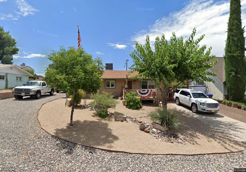
442 S 5th St Camp Verde, AZ 86322
Estimated Value: $239,000 - $257,000
--
Bed
--
Bath
1,292
Sq Ft
$192/Sq Ft
Est. Value
About This Home
This home is located at 442 S 5th St, Camp Verde, AZ 86322 and is currently estimated at $248,251, approximately $192 per square foot. 442 S 5th St is a home located in Yavapai County with nearby schools including Camp Verde Elementary School, Camp Verde Middle School, and Camp Verde High School.
Ownership History
Date
Name
Owned For
Owner Type
Purchase Details
Closed on
Dec 6, 2006
Sold by
Woodford Bryan
Bought by
Bonde Daryl F and Bonde Lea Ruth
Current Estimated Value
Home Financials for this Owner
Home Financials are based on the most recent Mortgage that was taken out on this home.
Original Mortgage
$55,000
Outstanding Balance
$32,648
Interest Rate
6.09%
Mortgage Type
Stand Alone Second
Estimated Equity
$215,603
Purchase Details
Closed on
Aug 10, 1999
Sold by
Woodford Mary Hollan
Bought by
Woodford Bryan
Home Financials for this Owner
Home Financials are based on the most recent Mortgage that was taken out on this home.
Original Mortgage
$65,600
Interest Rate
7.7%
Create a Home Valuation Report for This Property
The Home Valuation Report is an in-depth analysis detailing your home's value as well as a comparison with similar homes in the area
Home Values in the Area
Average Home Value in this Area
Purchase History
| Date | Buyer | Sale Price | Title Company |
|---|---|---|---|
| Bonde Daryl F | $134,000 | Yavapai Title Agency | |
| Woodford Bryan | -- | First American Title |
Source: Public Records
Mortgage History
| Date | Status | Borrower | Loan Amount |
|---|---|---|---|
| Open | Bonde Daryl F | $55,000 | |
| Previous Owner | Bonde Daryl F | $75,000 | |
| Previous Owner | Woodford Bryan | $65,600 |
Source: Public Records
Tax History Compared to Growth
Tax History
| Year | Tax Paid | Tax Assessment Tax Assessment Total Assessment is a certain percentage of the fair market value that is determined by local assessors to be the total taxable value of land and additions on the property. | Land | Improvement |
|---|---|---|---|---|
| 2026 | $1,471 | $24,505 | -- | -- |
| 2024 | $1,453 | $24,910 | -- | -- |
| 2023 | $1,453 | $21,805 | $3,827 | $17,978 |
| 2022 | $1,397 | $17,434 | $2,336 | $15,098 |
| 2021 | $1,441 | $16,633 | $3,014 | $13,619 |
| 2020 | $1,406 | $0 | $0 | $0 |
| 2019 | $1,391 | $0 | $0 | $0 |
| 2018 | $1,326 | $0 | $0 | $0 |
| 2017 | $1,306 | $0 | $0 | $0 |
| 2016 | $1,269 | $0 | $0 | $0 |
| 2015 | -- | $0 | $0 | $0 |
| 2014 | -- | $0 | $0 | $0 |
Source: Public Records
Map
Nearby Homes
- 385 S 4th St
- 595 S Park Cir
- 2375 S San Dominique Rd
- 615 S 3rd St
- 360 W Finnie Flat Rd Unit 16
- 0 Finnie Flat Rd Unit 532826
- 0 Finnie Flat Rd Unit 6833640
- 539 W Saddle Creek Dr
- 556 S Azure Dr
- 315 W Hereford Dr
- 421 S Dakota Dr
- 102 W Arnold St
- 639 S Azure Dr
- 660 S Dakota Dr
- 0000 W General Crook Trail
- 100 E Wee Hollow Dr
- 105 E Wee Hollow Dr
- 477 Arizona 260
- 3 E State Route 260 --
- 107 E Wee Hollow Dr