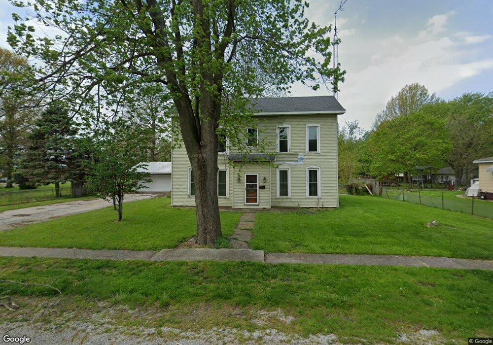
442 S 6th St Unit 1 Auburn, IL 62615
Estimated Value: $57,000 - $204,000
--
Bed
--
Bath
--
Sq Ft
0.5
Acres
About This Home
This home is located at 442 S 6th St Unit 1, Auburn, IL 62615 and is currently estimated at $152,697. 442 S 6th St Unit 1 is a home located in Sangamon County with nearby schools including Auburn Elementary School, Auburn Middle School, and Auburn Junior High School.
Ownership History
Date
Name
Owned For
Owner Type
Purchase Details
Closed on
Apr 1, 2025
Sold by
Pierce Robert W and Pierce Michael R
Bought by
S And Z Property Brothers Of Central Illinois
Current Estimated Value
Home Financials for this Owner
Home Financials are based on the most recent Mortgage that was taken out on this home.
Original Mortgage
$65,000
Outstanding Balance
$64,722
Interest Rate
6.85%
Mortgage Type
New Conventional
Estimated Equity
$87,975
Purchase Details
Closed on
Jul 7, 2011
Purchase Details
Closed on
Jun 30, 2000
Purchase Details
Closed on
Nov 24, 1999
Purchase Details
Closed on
Aug 5, 1999
Create a Home Valuation Report for This Property
The Home Valuation Report is an in-depth analysis detailing your home's value as well as a comparison with similar homes in the area
Home Values in the Area
Average Home Value in this Area
Purchase History
| Date | Buyer | Sale Price | Title Company |
|---|---|---|---|
| S And Z Property Brothers Of Central Illinois | $35,000 | None Listed On Document | |
| -- | -- | -- | |
| -- | $83,500 | -- | |
| -- | -- | -- | |
| -- | -- | -- |
Source: Public Records
Mortgage History
| Date | Status | Borrower | Loan Amount |
|---|---|---|---|
| Open | S And Z Property Brothers Of Central Illinois | $65,000 |
Source: Public Records
Tax History Compared to Growth
Tax History
| Year | Tax Paid | Tax Assessment Tax Assessment Total Assessment is a certain percentage of the fair market value that is determined by local assessors to be the total taxable value of land and additions on the property. | Land | Improvement |
|---|---|---|---|---|
| 2024 | $2,481 | $48,772 | $14,522 | $34,250 |
| 2023 | $2,370 | $44,601 | $13,280 | $31,321 |
| 2022 | $2,202 | $42,227 | $12,573 | $29,654 |
| 2021 | $2,132 | $40,552 | $12,074 | $28,478 |
| 2020 | $2,129 | $40,411 | $12,032 | $28,379 |
| 2019 | $2,076 | $39,410 | $11,734 | $27,676 |
| 2018 | $2,033 | $38,596 | $11,492 | $27,104 |
| 2017 | $1,656 | $37,165 | $11,066 | $26,099 |
| 2016 | $1,656 | $36,933 | $10,997 | $25,936 |
| 2015 | $1,656 | $36,503 | $10,869 | $25,634 |
| 2014 | $1,656 | $37,070 | $11,038 | $26,032 |
| 2013 | $1,488 | $35,851 | $10,675 | $25,176 |
Source: Public Records
Map
Nearby Homes
- 0 Illinois 104
- 158 E Monroe St
- 1224 Commanche Rd Unit 1
- 446 N 7th St Unit 1
- 109 N Violet Dr Unit 1
- 3926 Circle Dr Unit 1
- 207 W Elm St
- 6716 Tower Heights Rd
- 10553 S Main St Unit 1
- 233 W South St Unit 1
- 1 Henrietta
- 512 High School St Unit 1
- 11520 Wayside Meadows Rd
- 108 Kodiak Dr
- 450 W Hill St
- 323 N Dye St
- 0 State Route 4
- 34 Buckingham Rd Unit 1
- 221 N Emmett St
- 0 Withers Rd
- 436 S 6th St Unit 1
- 454 S 6th St
- 432 S 6th St Unit 1
- 439 S 6th St Unit 1
- 437 S 6th St Unit 1
- 449 S 6th St Unit 1
- 431 S 6th St
- 446 S 7th St Unit 1
- 453 S 6th St Unit 1
- 427 S 6th St Unit 1
- 609 W Harrison St
- 420 S 6th St Unit 1
- 442 S 7th St Unit 1
- 613 W Harrison St
- 462 S 7th St Unit 1
- 421 S 7th St Unit 1
- 423 S 6th St
- 434 S 7th St Unit 1
- 454 S 7th St Unit 1
- 519 W Harrison St