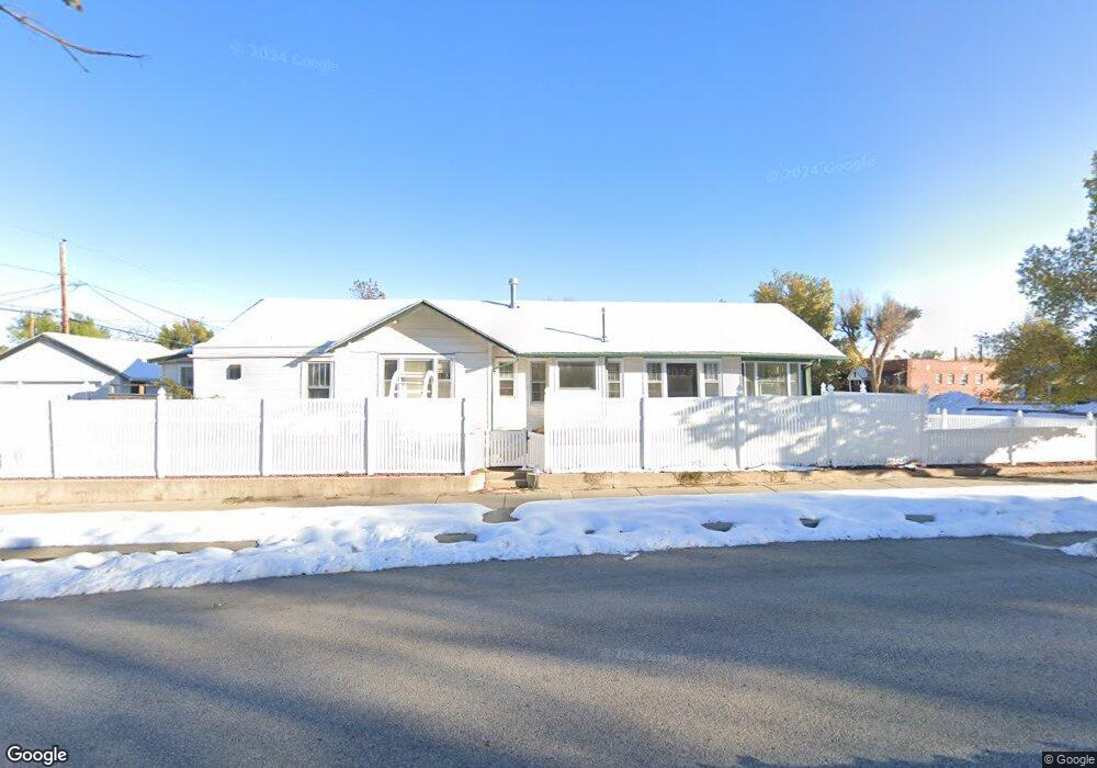
442 S Park St Unit 5th Street Casper, WY 82601
Central Casper NeighborhoodEstimated Value: $424,000 - $532,115
4
Beds
4
Baths
3,524
Sq Ft
$136/Sq Ft
Est. Value
About This Home
This home is located at 442 S Park St Unit 5th Street, Casper, WY 82601 and is currently estimated at $478,058, approximately $135 per square foot. 442 S Park St Unit 5th Street is a home located in Natrona County with nearby schools including St. Anthony Tri-Parish Catholic School.
Ownership History
Date
Name
Owned For
Owner Type
Purchase Details
Closed on
Nov 9, 2021
Sold by
Brown Jacqueline K
Bought by
Hatfield Nicole L
Current Estimated Value
Home Financials for this Owner
Home Financials are based on the most recent Mortgage that was taken out on this home.
Original Mortgage
$234,000
Outstanding Balance
$214,091
Interest Rate
2.88%
Mortgage Type
New Conventional
Estimated Equity
$263,967
Purchase Details
Closed on
Dec 21, 2012
Sold by
Brown Jacqueline K
Bought by
Merriman Roger and Brown Jacqueline K
Create a Home Valuation Report for This Property
The Home Valuation Report is an in-depth analysis detailing your home's value as well as a comparison with similar homes in the area
Home Values in the Area
Average Home Value in this Area
Purchase History
| Date | Buyer | Sale Price | Title Company |
|---|---|---|---|
| Hatfield Nicole L | -- | First American Title Ins Com | |
| Merriman Roger | -- | -- |
Source: Public Records
Mortgage History
| Date | Status | Borrower | Loan Amount |
|---|---|---|---|
| Open | Hatfield Nicole L | $234,000 |
Source: Public Records
Tax History Compared to Growth
Tax History
| Year | Tax Paid | Tax Assessment Tax Assessment Total Assessment is a certain percentage of the fair market value that is determined by local assessors to be the total taxable value of land and additions on the property. | Land | Improvement |
|---|---|---|---|---|
| 2025 | $2,418 | $33,674 | $3,212 | $30,462 |
| 2024 | $3,172 | $44,178 | $5,570 | $38,608 |
| 2023 | $3,085 | $42,324 | $5,163 | $37,161 |
| 2022 | $2,971 | $40,755 | $4,357 | $36,398 |
| 2021 | $1,441 | $19,764 | $3,655 | $16,109 |
| 2020 | $1,551 | $21,277 | $5,586 | $15,691 |
| 2019 | $1,541 | $21,142 | $5,586 | $15,556 |
| 2018 | $1,546 | $21,216 | $5,586 | $15,630 |
| 2017 | $1,544 | $21,177 | $5,586 | $15,591 |
| 2015 | $1,860 | $25,520 | $5,586 | $19,934 |
| 2014 | $1,832 | $25,128 | $5,586 | $19,542 |
Source: Public Records
Map
Nearby Homes
- 718 E 5th St
- 517 Kirk Ave
- 46000 U S Highway 20
- 623 S Wolcott St
- 634 S Mckinley St
- 830 S Durbin St
- 501 S Jackson St
- 340 S David St
- 336 S David St
- 909 S Mckinley St
- 830 E A St
- 1117 S Lincoln St
- 134 N Jackson St
- 835 S Ash St
- 1047 S Mckinley St
- 1302 E 7th St
- 1011 E B St
- 1339 E 6th St
- 1244 S Durbin St
- 637 E 13th St
- 432 S Park St
- 520 E 5th St
- 520 E 5th St Unit Park
- 424 S Park St
- 424 S Park St Unit 5th
- 510 S Park St
- 522 S Park St
- 427 S Kimball St
- 433 S Kimball St
- 443 S Kimball St
- 532 S Park St
- 445 S Park St
- 513 S Park St
- 513 S Park St Unit 5th
- 425 S Kimball St
- 425 S Kimball St Unit E. 5th
- 425 S Kimball St Unit E 3rd St
- 505 S Park St
- 523 S Park St
- 433 S Park St