442 Walnut Hill Rd Carrollton, GA 30117
Estimated Value: $226,000 - $1,517,000
2
Beds
1
Bath
1,050
Sq Ft
$1,013/Sq Ft
Est. Value
About This Home
This home is located at 442 Walnut Hill Rd, Carrollton, GA 30117 and is currently estimated at $1,063,557, approximately $1,012 per square foot. 442 Walnut Hill Rd is a home located in Carroll County with nearby schools including Mt. Zion Elementary School, Mt. Zion Middle School, and Mt. Zion High School.
Ownership History
Date
Name
Owned For
Owner Type
Purchase Details
Closed on
Oct 13, 2010
Sold by
Silvey Family Partnership
Bought by
Aubrey Silvey Enterprises Inc
Current Estimated Value
Purchase Details
Closed on
Jul 9, 2007
Sold by
Silvey Fam Partnership
Bought by
Carroll County
Purchase Details
Closed on
Jan 19, 2000
Sold by
Silvey Family Partne
Bought by
Silvey Family Partne
Purchase Details
Closed on
Dec 31, 1996
Sold by
Silvey Judith
Bought by
Silvey Family Partne
Create a Home Valuation Report for This Property
The Home Valuation Report is an in-depth analysis detailing your home's value as well as a comparison with similar homes in the area
Home Values in the Area
Average Home Value in this Area
Purchase History
| Date | Buyer | Sale Price | Title Company |
|---|---|---|---|
| Aubrey Silvey Enterprises Inc | $511,467 | -- | |
| Carroll County | -- | -- | |
| Silvey Family Partne | -- | -- | |
| Silvey Family Partne | -- | -- |
Source: Public Records
Tax History Compared to Growth
Tax History
| Year | Tax Paid | Tax Assessment Tax Assessment Total Assessment is a certain percentage of the fair market value that is determined by local assessors to be the total taxable value of land and additions on the property. | Land | Improvement |
|---|---|---|---|---|
| 2024 | $9,317 | $411,862 | $375,373 | $36,489 |
| 2023 | $9,317 | $334,518 | $300,297 | $34,221 |
| 2022 | $1,608 | $227,868 | $200,198 | $27,670 |
| 2021 | $1,536 | $185,218 | $160,158 | $25,060 |
| 2020 | $1,768 | $166,169 | $144,706 | $21,463 |
| 2019 | $1,718 | $165,008 | $144,706 | $20,302 |
| 2018 | $1,692 | $114,991 | $95,342 | $19,649 |
| 2017 | $1,663 | $114,991 | $95,342 | $19,649 |
| 2016 | $1,631 | $114,991 | $95,342 | $19,649 |
| 2015 | $1,430 | $219,788 | $209,721 | $10,068 |
| 2014 | $1,403 | $219,789 | $209,721 | $10,068 |
Source: Public Records
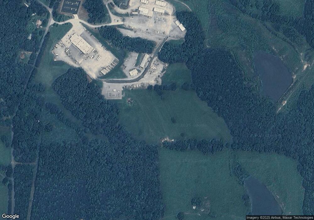
Map
Nearby Homes
- 14 Cole Lake Rd
- 406 Holly Springs Rd
- 4748 Us Highway 27
- 676 Hog Liver Rd
- 405 Adler Point
- 00 Hog Liver Rd Unit 346
- 0 Hog Liver Rd Unit 148331
- 0 Hog Liver Rd Unit 10630257
- 0 Hog Liver Rd Unit 7671087
- 0 Hog Liver Rd Unit 10614601
- 0 Hog Liver Rd Unit 10630818
- 174 Katie Ln
- 112 Turkey Creek Trail
- 469 Lee Williams Rd
- 68 Tyler Ln
- 142 Tyler Ln
- 0000 Hog Liver Rd
- The Thomas 2 Plan at Lambert Overlook
- The Thomas Plan at Lambert Overlook
- The Brook Plan at Lambert Overlook
- 385 Walnut Hill Rd Unit 323
- 385 Walnut Hill Rd
- 351 Walnut Hill Rd
- 284 Cole Lake Rd
- 341 Walnut Hill Rd
- 350 Cole Lake Rd
- 680 Mandeville Rd
- 285 Cole Lake Rd
- 285 Walnut Hill Rd
- 309 Cole Lake Rd
- 814 Mandeville Rd
- 265 Walnut Hill Rd
- 764 Mandeville Rd
- 139 Hamp Jones Rd
- 782 Mandeville Rd
- 718 Mandeville Rd
- 420 Cole Lake Rd
- 0 Walnut Hill Rd Unit 8640909
- 0 Walnut Hill Rd Unit 9067095
- 0 Walnut Hill Rd Unit 8757540