442 Willis Rd Hortense, GA 31543
Estimated Value: $57,598 - $243,000
Studio
--
Bath
648
Sq Ft
$228/Sq Ft
Est. Value
About This Home
This home is located at 442 Willis Rd, Hortense, GA 31543 and is currently estimated at $147,866, approximately $228 per square foot. 442 Willis Rd is a home with nearby schools including Jesup Elementary School, Arthur Williams Middle School, and Wayne County High School.
Ownership History
Date
Name
Owned For
Owner Type
Purchase Details
Closed on
Mar 20, 2009
Sold by
Lane William P
Bought by
Green Carl Stephen
Current Estimated Value
Purchase Details
Closed on
Nov 1, 1995
Sold by
Lane James T
Bought by
Lane William Paul
Purchase Details
Closed on
Jan 1, 1991
Bought by
Lane James T
Purchase Details
Closed on
Jan 1, 1979
Purchase Details
Closed on
Oct 1, 1977
Create a Home Valuation Report for This Property
The Home Valuation Report is an in-depth analysis detailing your home's value as well as a comparison with similar homes in the area
Purchase History
| Date | Buyer | Sale Price | Title Company |
|---|---|---|---|
| Green Carl Stephen | -- | -- | |
| Lane William Paul | -- | -- | |
| Lane James T | -- | -- | |
| -- | -- | -- | |
| -- | -- | -- |
Source: Public Records
Tax History
| Year | Tax Paid | Tax Assessment Tax Assessment Total Assessment is a certain percentage of the fair market value that is determined by local assessors to be the total taxable value of land and additions on the property. | Land | Improvement |
|---|---|---|---|---|
| 2025 | $337 | $13,005 | $4,316 | $8,689 |
| 2024 | $337 | $12,722 | $4,316 | $8,406 |
| 2023 | $351 | $11,710 | $4,316 | $7,394 |
| 2022 | $324 | $10,293 | $4,316 | $5,977 |
| 2021 | $305 | $9,059 | $4,316 | $4,743 |
| 2020 | $355 | $10,167 | $5,424 | $4,743 |
| 2019 | $365 | $10,167 | $5,424 | $4,743 |
| 2018 | $451 | $10,167 | $5,424 | $4,743 |
| 2017 | $313 | $10,167 | $5,424 | $4,743 |
| 2016 | $304 | $10,167 | $5,424 | $4,743 |
| 2014 | $305 | $10,167 | $5,424 | $4,743 |
| 2013 | -- | $10,166 | $5,424 | $4,742 |
Source: Public Records
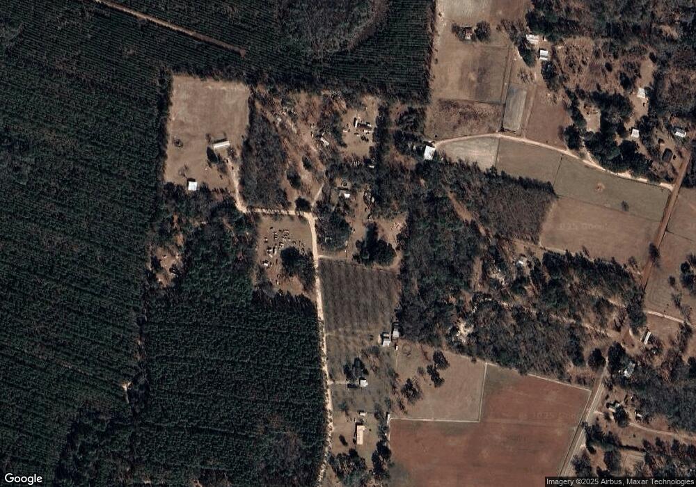
Map
Nearby Homes
- 6406 Mount Pleasant Rd
- 0 Post Rd Unit 1648928
- 6432 Mount Pleasant Rd
- 0 Rattler Run
- 43 Dutch Rd
- 58 Pine Court Rd
- 76 Armadillo Run
- 1062 Boots Harrison Rd
- 10473 Browntown Rd
- 647 Gibson Cir
- 1046 Boots Harrison Rd
- 788 Boots Harrison Rd
- 952 Boots Harrison Rd
- 2101 Albert Gibson Rd
- 1108 Chicora Rd
- 254 Coffee County Club Rd
- 3069 Mineral Springs Rd
- 7535 Browntown Rd
- 771 Heritage Cir
- 25 Heritage Cir
- 409 Willis Rd
- 548 Willis Rd
- 14441 Browntown Rd
- 563 Willis Rd
- 578 Willis Rd
- 14457 Browntown Rd
- 168 Mobile Rd
- 48 Mobile Rd
- 172 Willis Rd
- 310 Willis Rd
- 16248 Post Rd S
- 14445 Browntown Rd
- 8255 Mount Pleasant Rd
- 14288 Browntown Rd
- 8131 Mount Pleasant Rd
- 8101 Mount Pleasant Rd
- 8036 Mount Pleasant Rd
- 8293 Mount Pleasant Rd
- 14372 Browntown Rd
- 14294 Browntown Rd
Your Personal Tour Guide
Ask me questions while you tour the home.