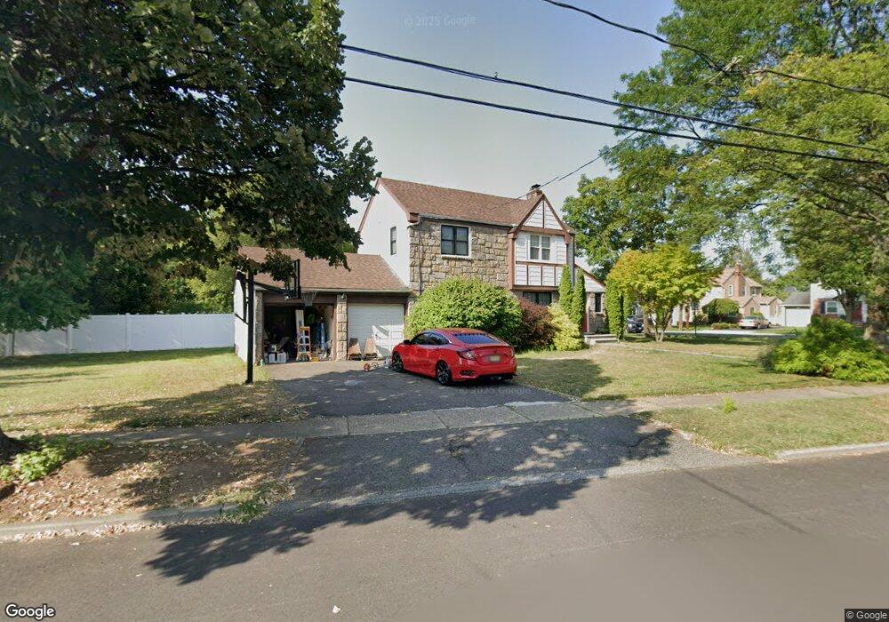
442 Windsor Rd River Edge, NJ 07661
Estimated Value: $553,000 - $826,000
Studio
--
Bath
1,283
Sq Ft
$564/Sq Ft
Est. Value
About This Home
This home is located at 442 Windsor Rd, River Edge, NJ 07661 and is currently estimated at $723,462, approximately $563 per square foot. 442 Windsor Rd is a home located in Bergen County with nearby schools including Cherry Hill School, River Dell Middle School, and River Dell Regional High School.
Ownership History
Date
Name
Owned For
Owner Type
Purchase Details
Closed on
Dec 19, 2022
Sold by
Hsu Joseph
Bought by
Romero Patricia
Current Estimated Value
Purchase Details
Closed on
Aug 26, 2009
Sold by
Byrne Thomas J and Arluna John
Bought by
Hsu Joseph and Romero Patricia
Home Financials for this Owner
Home Financials are based on the most recent Mortgage that was taken out on this home.
Original Mortgage
$360,000
Interest Rate
5.36%
Mortgage Type
Purchase Money Mortgage
Purchase Details
Closed on
Jun 26, 2008
Sold by
Hauck Marilyn A
Bought by
Byrne Thomas J and Arluna John
Home Financials for this Owner
Home Financials are based on the most recent Mortgage that was taken out on this home.
Original Mortgage
$1,675,000
Interest Rate
6.13%
Mortgage Type
New Conventional
Purchase Details
Closed on
May 8, 1998
Sold by
Hauck Marilyn A and Estate Of Ruth M Hauck
Bought by
Hauck Marilyn A
Create a Home Valuation Report for This Property
The Home Valuation Report is an in-depth analysis detailing your home's value as well as a comparison with similar homes in the area
Home Values in the Area
Average Home Value in this Area
Purchase History
| Date | Buyer | Sale Price | Title Company |
|---|---|---|---|
| Romero Patricia | $86,903 | -- | |
| Romero Patricia | $86,903 | None Listed On Document | |
| Hsu Joseph | $450,000 | -- | |
| Byrne Thomas J | $335,000 | -- | |
| Hauck Marilyn A | -- | -- |
Source: Public Records
Mortgage History
| Date | Status | Borrower | Loan Amount |
|---|---|---|---|
| Previous Owner | Hsu Joseph | $360,000 | |
| Previous Owner | Byrne Thomas J | $1,675,000 |
Source: Public Records
Tax History
| Year | Tax Paid | Tax Assessment Tax Assessment Total Assessment is a certain percentage of the fair market value that is determined by local assessors to be the total taxable value of land and additions on the property. | Land | Improvement |
|---|---|---|---|---|
| 2025 | $13,941 | $611,200 | $355,700 | $255,500 |
| 2024 | $13,593 | $351,600 | $206,400 | $145,200 |
| 2023 | $13,009 | $351,600 | $206,400 | $145,200 |
| 2022 | $13,009 | $351,600 | $206,400 | $145,200 |
| 2021 | $12,753 | $351,600 | $206,400 | $145,200 |
| 2020 | $12,552 | $351,600 | $206,400 | $145,200 |
| 2019 | $12,193 | $351,600 | $206,400 | $145,200 |
| 2018 | $11,937 | $351,600 | $206,400 | $145,200 |
| 2017 | $11,821 | $351,600 | $206,400 | $145,200 |
| 2016 | $11,554 | $351,600 | $206,400 | $145,200 |
| 2015 | $11,311 | $351,600 | $206,400 | $145,200 |
| 2014 | $11,332 | $351,600 | $206,400 | $145,200 |
Source: Public Records
Map
Nearby Homes
- 409 Windsor Rd
- 378 Windsor Rd
- 457 the Fenway
- 406 Kinderkamack Rd
- 12 Gainesborough Terrace Unit 1B
- 42 Howland Ave
- 215 Kensington Rd
- 176 Trotta Dr
- 255 Bogert Rd Unit 2A
- 117 Monroe Ave
- 302 Howland Ave
- 285 Wayne Ave
- 1061 Roosevelt Ave
- 239 Greenway Terrace
- 374 Valley Rd
- 204 Woodland Rd
- 212 Monroe Ave
- 175 Valley Rd
- 81 Eastbrook Dr
- 16 Coles Ct
Your Personal Tour Guide
Ask me questions while you tour the home.