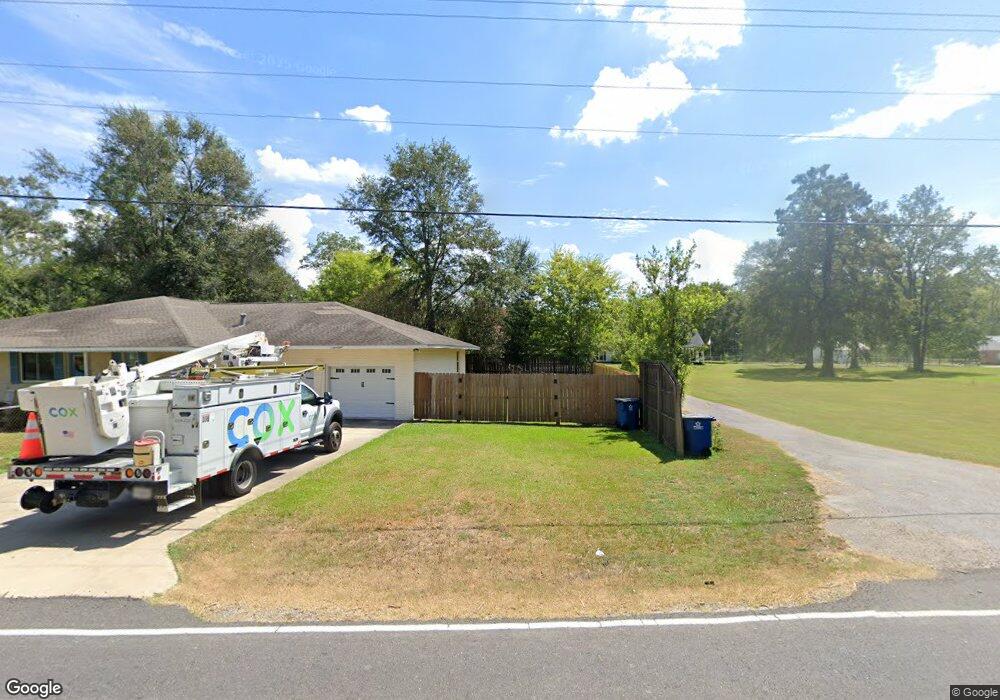
4420 Rougon Rd Port Allen, LA 70767
West Baton Rouge Parish NeighborhoodEstimated Value: $335,000 - $478,000
4
Beds
4
Baths
2,787
Sq Ft
$148/Sq Ft
Est. Value
About This Home
This home is located at 4420 Rougon Rd, Port Allen, LA 70767 and is currently estimated at $412,272, approximately $147 per square foot. 4420 Rougon Rd is a home located in West Baton Rouge Parish with nearby schools including Caneview K-8 School, Chamberlin Elementary School, and Devall Middle School.
Ownership History
Date
Name
Owned For
Owner Type
Purchase Details
Closed on
Nov 19, 2013
Sold by
Bourgoyne Todd Alton
Bought by
Bourgoyne Amanda Corry
Current Estimated Value
Purchase Details
Closed on
Sep 15, 2010
Sold by
Bordelon Winters John Franklin and Bordelon Winters Laura
Bought by
Bourgoyne Todd Alton and Bourgoyne Amanda
Home Financials for this Owner
Home Financials are based on the most recent Mortgage that was taken out on this home.
Original Mortgage
$250,000
Interest Rate
4.46%
Mortgage Type
New Conventional
Create a Home Valuation Report for This Property
The Home Valuation Report is an in-depth analysis detailing your home's value as well as a comparison with similar homes in the area
Home Values in the Area
Average Home Value in this Area
Purchase History
| Date | Buyer | Sale Price | Title Company |
|---|---|---|---|
| Bourgoyne Amanda Corry | -- | None Available | |
| Bourgoyne Todd Alton | $340,000 | None Available |
Source: Public Records
Mortgage History
| Date | Status | Borrower | Loan Amount |
|---|---|---|---|
| Previous Owner | Bourgoyne Todd Alton | $250,000 |
Source: Public Records
Tax History Compared to Growth
Tax History
| Year | Tax Paid | Tax Assessment Tax Assessment Total Assessment is a certain percentage of the fair market value that is determined by local assessors to be the total taxable value of land and additions on the property. | Land | Improvement |
|---|---|---|---|---|
| 2024 | $2,925 | $37,700 | $5,410 | $32,290 |
| 2023 | $2,368 | $30,300 | $3,830 | $26,470 |
| 2022 | $3,178 | $30,300 | $3,830 | $26,470 |
| 2021 | $3,250 | $30,300 | $3,830 | $26,470 |
| 2020 | $2,954 | $27,270 | $3,450 | $23,820 |
| 2019 | $2,766 | $24,520 | $1,450 | $23,070 |
| 2018 | $2,817 | $24,520 | $1,450 | $23,070 |
| 2017 | $2,601 | $24,520 | $1,450 | $23,070 |
| 2015 | $2,100 | $24,450 | $1,380 | $23,070 |
| 2014 | $1,520 | $17,990 | $1,380 | $16,610 |
| 2013 | $1,520 | $17,990 | $1,380 | $16,610 |
Source: Public Records
Map
Nearby Homes
- 10082 Swanson Ln
- 5252 Elm Grove Rd
- 8856 Singleton Rd
- 8958 Singleton Rd
- 6255 Rougon Rd
- 6229 Rougon Rd
- 5211 Wilcox Dr
- TBD E Subdivision Rd
- TBD E Subdivision Rd
- 11837 E Subdivision Rd
- 4900 Bueche Rd
- 9765 Skynet Ln
- 9766 Skynet Ln
- 841 Poydras Bayou Rd
- 9527 Burnside Rd
- 9324 Burnside Rd
- 1053 Poydras Bayou Rd
- 8330 Bueche Rd
- 7000 Bueche Rd
- 7634 Hwy 190 Hwy W
- 4416 Rougon Rd
- 4426 Rougon Rd
- 4510 Rougon Rd
- 4528 Rougon Rd
- 4354 Rougon Rd
- 4363 Rougon Rd
- 4334 Rougon Rd
- 4353 Rougon Rd
- 4324 Rougon Rd
- 4314 Rougon Rd
- 4343 Rougon Rd
- 10215 St Clara Ave
- 10174 St Clara Ave
- 4622 Rougon Rd
- 4323 Rougon Rd
- 10347 St Clara Ave
- Lot 28 St Clara Ave
- 4250 Rougon Rd
- Lot 25 St Clara Ave
- 4231 Rougon Rd