4420 SW Pacific Sands Dr Waldport, OR 97394
Estimated Value: $846,000 - $1,206,898
1
Bed
3
Baths
2,417
Sq Ft
$440/Sq Ft
Est. Value
About This Home
This home is located at 4420 SW Pacific Sands Dr, Waldport, OR 97394 and is currently estimated at $1,062,633, approximately $439 per square foot. 4420 SW Pacific Sands Dr is a home located in Lincoln County with nearby schools including Crestview Heights School, Waldport High and Middle School, and Angell JCC.
Ownership History
Date
Name
Owned For
Owner Type
Purchase Details
Closed on
Apr 5, 2022
Sold by
Brad Young William
Bought by
Young Property Waldport Llc
Current Estimated Value
Purchase Details
Closed on
Jul 19, 2021
Sold by
Young Diana K
Bought by
Young Property Waldport Llc
Purchase Details
Closed on
Jun 28, 2017
Sold by
Young William Brad and Young Heather A
Bought by
Young William Davis and Young Diana K
Purchase Details
Closed on
Jun 20, 2008
Sold by
Zimmerman Leroy R and Zimmerman Patricia S
Bought by
Young William B and Young Heather A
Home Financials for this Owner
Home Financials are based on the most recent Mortgage that was taken out on this home.
Original Mortgage
$245,000
Interest Rate
6.04%
Mortgage Type
Seller Take Back
Create a Home Valuation Report for This Property
The Home Valuation Report is an in-depth analysis detailing your home's value as well as a comparison with similar homes in the area
Home Values in the Area
Average Home Value in this Area
Purchase History
| Date | Buyer | Sale Price | Title Company |
|---|---|---|---|
| Young Property Waldport Llc | $98,000 | None Listed On Document | |
| Young Property Waldport Llc | -- | None Available | |
| Young William Davis | -- | None Available | |
| Young William B | $265,000 | Western Title & Escrow |
Source: Public Records
Mortgage History
| Date | Status | Borrower | Loan Amount |
|---|---|---|---|
| Previous Owner | Young William B | $245,000 |
Source: Public Records
Tax History Compared to Growth
Tax History
| Year | Tax Paid | Tax Assessment Tax Assessment Total Assessment is a certain percentage of the fair market value that is determined by local assessors to be the total taxable value of land and additions on the property. | Land | Improvement |
|---|---|---|---|---|
| 2024 | $9,056 | $647,340 | -- | -- |
| 2023 | $8,758 | $628,490 | $0 | $0 |
| 2022 | $7,890 | $610,190 | $0 | $0 |
| 2021 | $7,743 | $592,420 | $0 | $0 |
| 2020 | $7,608 | $575,170 | $0 | $0 |
| 2019 | $7,315 | $558,420 | $0 | $0 |
| 2018 | $4,889 | $367,640 | $0 | $0 |
| 2017 | $3,578 | $278,570 | $0 | $0 |
| 2016 | $1,458 | $116,300 | $0 | $0 |
| 2015 | $1,318 | $112,920 | $0 | $0 |
| 2014 | $1,282 | $109,640 | $0 | $0 |
| 2013 | -- | $106,450 | $0 | $0 |
Source: Public Records
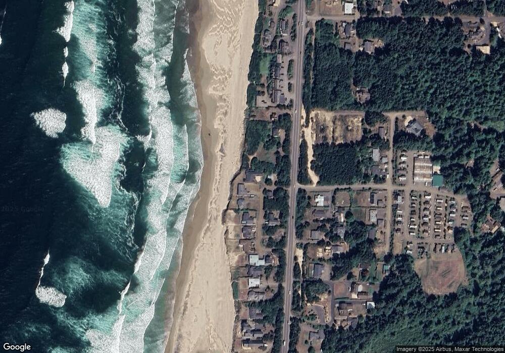
Map
Nearby Homes
- 4605 SW Pacific Coast Hwy
- 4699 SW Eriksen Ave
- 4711 SW Pacific Coast Hwy
- 805 SW Wakeetum St
- 3877 SW Dahlia Ln
- 4470 SW Flansberg Ave
- 5194 SW Field Ave
- 3692 SW Pacific Coast Hwy
- 5220 SW Neal Ave
- 5272 SW Field Ave
- 0 SW Flansberg Ave
- 3531 SW Fernwood Ln
- 809 SW Wakonda Beach Rd
- 1115 SW Whitecap Dr
- 1208 SW Division St
- TL1200 SW Pacific Coast Hwy
- 128 SW Wakonda Beach Rd
- 1155 SW Sailfish Loop
- 2220 SW Green Ln
- 7304 SW Pacific Coast Hwy
- 4417 SW Pacific Sands Dr
- 4432 SW Pacific Sands Dr
- LOT 1200 SW Pacific Sands Dr
- 000 SW Pacific Sands Dr
- 4400 Blk SW Pacific Sands Dr
- TL1200 SW Pacific Sands Dr
- xxxx SW Pacific Sands Dr
- 4436 SW Pacific Sands Dr
- 4457 SW Pacific Sands Dr
- 4270 SW Pacific Coast Hwy
- 4454 SW Pacific Sands Dr
- 1203 SW Azalea Ln
- 4466 SW Pacific Sands Dr
- 1211 SW Azalea Ln
- 4478 SW Pacific Sands Dr
- 4493 SW Pacific Coast Hwy
- 1207 SW Azalea Ln
- 4150 SW Pacific Coast Hwy
- 4496 SW Pacific Sands Dr
- 4488 SW Pacific Sands Dr