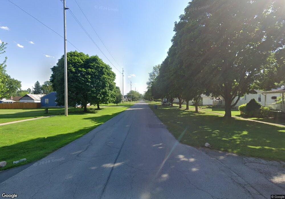
4420 W 6 Fremont, OH 43420
Estimated Value: $206,000 - $233,000
--
Bed
--
Bath
1,246
Sq Ft
$177/Sq Ft
Est. Value
About This Home
This home is located at 4420 W 6, Fremont, OH 43420 and is currently estimated at $221,052, approximately $177 per square foot. 4420 W 6 is a home with nearby schools including Fremont Ross High School.
Ownership History
Date
Name
Owned For
Owner Type
Purchase Details
Closed on
May 29, 2025
Sold by
Ickes David F and Ickes Angela L
Bought by
Payne Carter
Current Estimated Value
Home Financials for this Owner
Home Financials are based on the most recent Mortgage that was taken out on this home.
Original Mortgage
$176,800
Outstanding Balance
$176,346
Interest Rate
6.81%
Mortgage Type
New Conventional
Estimated Equity
$44,706
Purchase Details
Closed on
Oct 21, 2021
Sold by
Estate Of Delores I Jeffries
Bought by
Ickes David F and Ickes Angela L
Home Financials for this Owner
Home Financials are based on the most recent Mortgage that was taken out on this home.
Original Mortgage
$72,000
Interest Rate
2.1%
Mortgage Type
New Conventional
Create a Home Valuation Report for This Property
The Home Valuation Report is an in-depth analysis detailing your home's value as well as a comparison with similar homes in the area
Home Values in the Area
Average Home Value in this Area
Purchase History
| Date | Buyer | Sale Price | Title Company |
|---|---|---|---|
| Payne Carter | $221,000 | Newman Title | |
| Payne Carter | $221,000 | Newman Title | |
| Ickes David F | $80,000 | None Available | |
| Ickes David F | $80,000 | None Listed On Document |
Source: Public Records
Mortgage History
| Date | Status | Borrower | Loan Amount |
|---|---|---|---|
| Open | Payne Carter | $176,800 | |
| Closed | Payne Carter | $176,800 | |
| Previous Owner | Ickes David F | $72,000 |
Source: Public Records
Tax History Compared to Growth
Tax History
| Year | Tax Paid | Tax Assessment Tax Assessment Total Assessment is a certain percentage of the fair market value that is determined by local assessors to be the total taxable value of land and additions on the property. | Land | Improvement |
|---|---|---|---|---|
| 2024 | $2,054 | $53,200 | $19,390 | $33,810 |
| 2023 | $2,054 | $39,210 | $15,650 | $23,560 |
| 2022 | $1,611 | $40,050 | $16,490 | $23,560 |
| 2021 | $1,328 | $40,050 | $16,490 | $23,560 |
| 2020 | $1,157 | $35,600 | $15,860 | $19,740 |
| 2019 | $1,156 | $35,600 | $15,860 | $19,740 |
| 2018 | $1,159 | $35,600 | $15,860 | $19,740 |
| 2017 | $1,160 | $35,600 | $15,860 | $19,740 |
| 2016 | $1,061 | $36,510 | $15,860 | $20,650 |
| 2015 | $1,016 | $36,510 | $15,860 | $20,650 |
| 2014 | $948 | $33,360 | $15,050 | $18,310 |
| 2013 | $928 | $33,360 | $15,050 | $18,310 |
Source: Public Records
Map
Nearby Homes
- 0 Ohio 590
- 17 Adams Dr
- 0 County Road 59
- 0 County Road 90
- 4470 W State St
- 2484 Buckland Ave
- 1548 County Road 128
- 2020 Elm Dr
- 520 Everett Rd
- 515 Everett Rd
- 822 Upton Rd
- 2119 Lake St
- 614 3rd Ave
- 855 Rambo Ln
- 816 Lime St
- 1719 Buckland Ave
- 115 N Taft Ave
- 2231 County Road 23
- 1823 W State St
- 880 Cleveland Ave
- 4444 W Sr 6
- 4444 Hayes Ave
- 4469 Hayes Ave
- 4326 Hayes Ave
- 4276 Hayes Ave
- 4451 Napoleon Rd
- 4361 Napoleon Rd
- 4387 Napoleon Rd
- 250 County Road 108
- 4360 Napoleon Rd
- 4378 Napoleon Rd
- 4680 W Hayes
- 4680 Hayes (Sr 6) Ave
- 4680 Hayes Ave
- 4504 Napoleon Rd
- 4380 Napoleon Rd
- 4560 Napoleon Rd
- 220 County Road 108
- 118 S State Route 590
- 4647 Napoleon Rd
