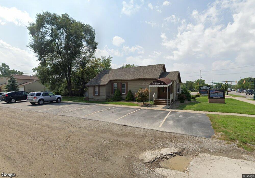
44205 Ford Rd Canton, MI 48187
Estimated Value: $266,169
Studio
--
Bath
1,038
Sq Ft
$256/Sq Ft
Est. Value
About This Home
This home is located at 44205 Ford Rd, Canton, MI 48187 and is currently estimated at $266,169, approximately $256 per square foot. 44205 Ford Rd is a home located in Wayne County with nearby schools including Canton High School, Discovery Middle School, and Salem High School.
Ownership History
Date
Name
Owned For
Owner Type
Purchase Details
Closed on
Apr 19, 2019
Sold by
Karapatsakis Properties Llc
Bought by
Karapatsakis Properties V Llc
Current Estimated Value
Purchase Details
Closed on
Jun 27, 2018
Sold by
The Danny T Clem Revocable Trust
Bought by
Karapatsakis Properties Llc
Purchase Details
Closed on
Aug 9, 2007
Sold by
Clem Danny T
Bought by
Clem Danny T and Danny T Clem Revocable Trust
Purchase Details
Closed on
Dec 4, 2003
Sold by
Dividock Kenneth A
Bought by
Clem Dan T
Create a Home Valuation Report for This Property
The Home Valuation Report is an in-depth analysis detailing your home's value as well as a comparison with similar homes in the area
Home Values in the Area
Average Home Value in this Area
Purchase History
| Date | Buyer | Sale Price | Title Company |
|---|---|---|---|
| Karapatsakis Properties V Llc | -- | None Available | |
| Karapatsakis Properties Llc | $170,000 | Vintage Title Agency | |
| Clem Danny T | -- | None Available | |
| Clem Dan T | $225,000 | Golden Title |
Source: Public Records
Tax History
| Year | Tax Paid | Tax Assessment Tax Assessment Total Assessment is a certain percentage of the fair market value that is determined by local assessors to be the total taxable value of land and additions on the property. | Land | Improvement |
|---|---|---|---|---|
| 2025 | $2,652 | $79,300 | $0 | $0 |
| 2024 | $2,574 | $74,900 | $0 | $0 |
| 2023 | $1,487 | $72,700 | $0 | $0 |
| 2022 | $3,753 | $66,700 | $0 | $0 |
| 2021 | $3,639 | $62,800 | $0 | $0 |
| 2020 | $3,593 | $61,500 | $0 | $0 |
| 2019 | $3,740 | $64,050 | $0 | $0 |
| 2018 | $1,293 | $60,210 | $0 | $0 |
| 2017 | $1,465 | $59,100 | $0 | $0 |
| 2016 | $1,985 | $55,300 | $0 | $0 |
| 2015 | $3,496 | $48,080 | $0 | $0 |
| 2013 | $3,387 | $48,580 | $0 | $0 |
| 2010 | -- | $56,090 | $33,541 | $22,549 |
Source: Public Records
Map
Nearby Homes
- 1977 Elmhurst St
- 1987 E Franklin Dr Unit 65
- 44447 Savery Dr Unit 126
- 1822 N Sheldon Rd
- 44528 Whitman Ave
- 58560 Stuart Dr
- 44035 Westminister Way
- 1567 Marlowe St
- 44652 Nantucket Dr
- 43603 Emrick Dr
- 47527 Ellery Ln
- 49772 Shoreline Dr
- 835 Coldrose Way
- 45005 Saltz Rd
- 0000 Ford
- 5806 Wedgewood Rd
- 1584 Commodore Cir Unit 33
- 48590 Ford Rd
- 45645 Graystone Ln Unit 100
- 1215 Orchid Cir
- 0 Maben Rd
- 44245 Ford Rd
- 44245 Ford Rd Unit 101
- 2189 Brookline St
- 2065 Brookline St
- 2132 N Sheldon Rd
- 2088 Brookline St
- 2078 N Sheldon Rd
- 2053 Brookline St
- 43767 Ford Rd
- 43723 Ford Rd
- Brookline St Unit 4910287
- Brookline St
- 2066 N Sheldon Rd
- 2029 Brookline St
- 2046 Brookline St
- Elmhurst St
- 2048 N Sheldon Rd
- V/L Brookline
- 2017 Brookline St
Your Personal Tour Guide
Ask me questions while you tour the home.