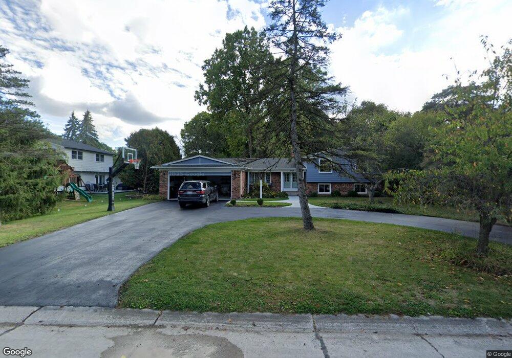
4421 Dorian Dr Bloomfield Hills, MI 48301
Estimated Value: $568,000 - $708,000
4
Beds
4
Baths
2,810
Sq Ft
$225/Sq Ft
Est. Value
About This Home
This home is located at 4421 Dorian Dr, Bloomfield Hills, MI 48301 and is currently estimated at $632,932, approximately $225 per square foot. 4421 Dorian Dr is a home located in Oakland County with nearby schools including Conant Elementary School, South Hills Middle School, and Bloomfield Hills High School.
Ownership History
Date
Name
Owned For
Owner Type
Purchase Details
Closed on
Jun 3, 2011
Sold by
Nannapaneni Murthy and Nannapaneni Meena Kumari
Bought by
Switalski Ryan and Switalski Jennifer
Current Estimated Value
Create a Home Valuation Report for This Property
The Home Valuation Report is an in-depth analysis detailing your home's value as well as a comparison with similar homes in the area
Home Values in the Area
Average Home Value in this Area
Purchase History
| Date | Buyer | Sale Price | Title Company |
|---|---|---|---|
| Switalski Ryan | $224,000 | None Available |
Source: Public Records
Tax History Compared to Growth
Tax History
| Year | Tax Paid | Tax Assessment Tax Assessment Total Assessment is a certain percentage of the fair market value that is determined by local assessors to be the total taxable value of land and additions on the property. | Land | Improvement |
|---|---|---|---|---|
| 2024 | $3,294 | $249,680 | $0 | $0 |
| 2023 | $3,126 | $228,840 | $0 | $0 |
| 2022 | $5,874 | $212,260 | $0 | $0 |
| 2021 | $5,832 | $204,400 | $0 | $0 |
| 2020 | $2,859 | $191,000 | $0 | $0 |
| 2019 | $5,488 | $186,040 | $0 | $0 |
| 2018 | $5,513 | $179,600 | $0 | $0 |
| 2017 | $5,473 | $176,630 | $0 | $0 |
| 2016 | $5,484 | $154,890 | $0 | $0 |
| 2015 | -- | $139,100 | $0 | $0 |
| 2014 | -- | $137,770 | $0 | $0 |
| 2011 | -- | $134,770 | $0 | $0 |
Source: Public Records
Map
Nearby Homes
- 6750 Wing Lake Rd
- 6701 Franklin Rd
- 4456 W Maple Rd
- 7100 Wing Lake Rd
- 6572 Spruce Dr
- 4428 Old Trinity Ct
- 6720 Castle Dr
- 7005 Cathedral Dr
- 6940 Castle Dr
- 6660 Woodbank Dr
- 4200 Surrey Cross
- 7303 Brookside Village Ct
- 4665 W Maple Rd
- 6952 Sandalwood Dr
- 4647 Private Lake Dr
- 7310 Sandy Creek Ln
- 25690 W 14 Mile Rd
- 750 Trailwood Path Unit B
- 450 Billingsgate Ct Unit C
- 1760 Trailwood Path
- 4429 Dorian Dr
- 6891 Vachon Dr
- 6881 Vachon Dr
- 0000 Orinoco Cir
- 4416 Dorian Dr
- 6707 Vachon Dr
- 4424 Dorian Dr
- 6873 Vachon Dr
- 4408 Dorian Dr
- 6719 Vachon Dr
- 4397 Dorian Dr
- 4432 Dorian Dr
- 6884 Vachon Dr
- 6727 Vachon Dr
- 4400 Dorian Dr
- 6876 Vachon Dr
- 6865 Vachon Dr
- 6679 Vachon Ct Unit Bldg-Unit
- 6679 Vachon Ct
- 6735 Vachon Dr