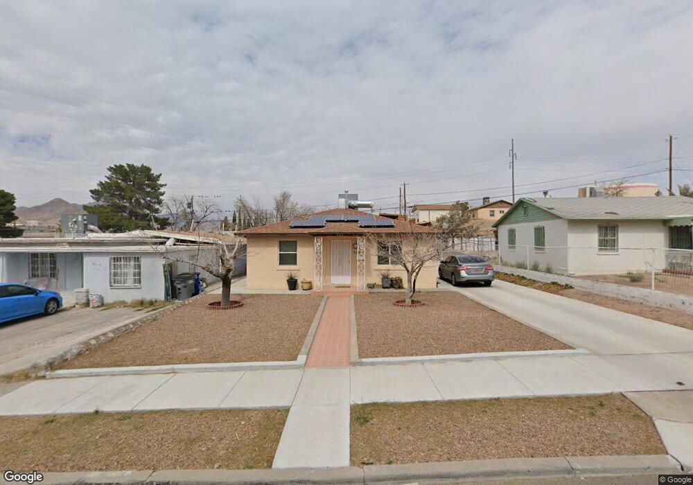
4421 Memphis Ave Unit B El Paso, TX 79903
Austin Terrace NeighborhoodEstimated Value: $177,654 - $247,000
1
Bed
1
Bath
576
Sq Ft
$360/Sq Ft
Est. Value
About This Home
This home is located at 4421 Memphis Ave Unit B, El Paso, TX 79903 and is currently estimated at $207,414, approximately $360 per square foot. 4421 Memphis Ave Unit B is a home located in El Paso County with nearby schools including Hillside Elementary School, Ross Middle School, and Burges High School.
Ownership History
Date
Name
Owned For
Owner Type
Purchase Details
Closed on
Aug 8, 2017
Sold by
Paredes Carolina
Bought by
Lozano Gloria Perez
Current Estimated Value
Home Financials for this Owner
Home Financials are based on the most recent Mortgage that was taken out on this home.
Original Mortgage
$70,000
Outstanding Balance
$58,283
Interest Rate
3.88%
Mortgage Type
New Conventional
Estimated Equity
$149,131
Purchase Details
Closed on
Jan 3, 2017
Sold by
Alvarado Juanita
Bought by
Paredes Carolina
Create a Home Valuation Report for This Property
The Home Valuation Report is an in-depth analysis detailing your home's value as well as a comparison with similar homes in the area
Home Values in the Area
Average Home Value in this Area
Purchase History
| Date | Buyer | Sale Price | Title Company |
|---|---|---|---|
| Lozano Gloria Perez | -- | None Available | |
| Paredes Carolina | -- | None Available |
Source: Public Records
Mortgage History
| Date | Status | Borrower | Loan Amount |
|---|---|---|---|
| Open | Lozano Gloria Perez | $70,000 |
Source: Public Records
Tax History Compared to Growth
Tax History
| Year | Tax Paid | Tax Assessment Tax Assessment Total Assessment is a certain percentage of the fair market value that is determined by local assessors to be the total taxable value of land and additions on the property. | Land | Improvement |
|---|---|---|---|---|
| 2025 | $1,369 | $134,179 | -- | -- |
| 2024 | $1,369 | $121,981 | -- | -- |
| 2023 | $1,369 | $110,892 | $0 | $0 |
| 2022 | $2,984 | $100,811 | $0 | $0 |
| 2021 | $2,861 | $91,646 | $16,200 | $75,446 |
| 2020 | $2,604 | $84,707 | $13,200 | $71,507 |
| 2018 | $2,488 | $84,050 | $13,200 | $70,850 |
| 2017 | $2,247 | $79,783 | $13,200 | $66,583 |
| 2016 | $2,247 | $79,783 | $13,200 | $66,583 |
| 2015 | $856 | $79,783 | $13,200 | $66,583 |
| 2014 | $856 | $81,184 | $13,200 | $67,984 |
Source: Public Records
Map
Nearby Homes
- 4620 Frankfort Ave
- 4731 Leeds Ave
- 2518 Partello St
- 4711 Chesterfield Ave
- 4405 Cumberland Ave
- 3905 Nashville Ave
- 3817 Frankfort Ave
- 4327 Chester Ave
- 4122 Cumberland Ave
- 4325 Oxford Ave
- 3816 Hastings Dr
- 3827 Idalia Ave
- 4729 Trowbridge Dr
- 5107 Raymond Jays Rd
- 4101 Trowbridge Dr
- 5119 Timberwolf Dr
- 3921 Nations Ave
- 3709 Fort Blvd
- 3524 Mobile Ave
- 1401 N Boone St
- 4421 Memphis Ave
- 4417 Memphis Ave
- 4425 Memphis Ave
- 4415 Memphis Ave
- 4429 Memphis Ave
- 4420 Nashville Ave
- 4416 Nashville Ave
- 4409 Memphis Ave
- 2531 Radford St
- 4412 Nashville Ave
- 4405 Memphis Ave
- 4408 Nashville Ave
- 4501 Memphis Ave
- 4404 Nashville Ave
- 614 Marr St Unit D
- 614 Marr St Unit A
- 614 Marr St Unit B
- 614 Marr St Unit C
- 4401 Memphis Ave
- 4500 Nashville Ave