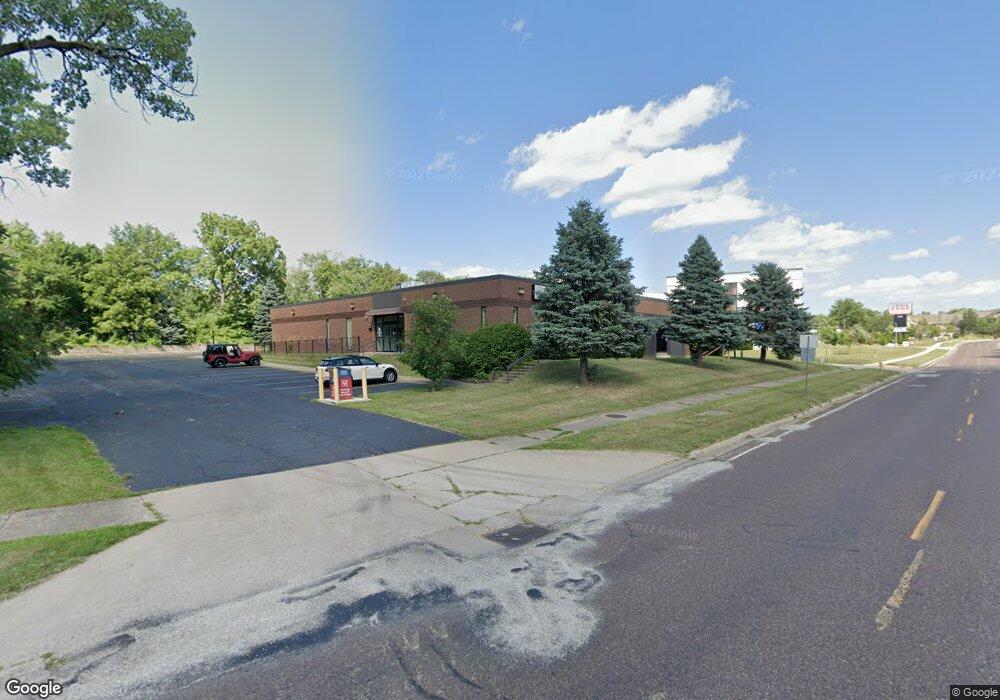
4422 N Brandywine Dr Peoria, IL 61614
North Peoria NeighborhoodEstimated Value: $1,117,935
--
Bed
--
Bath
--
Sq Ft
1.44
Acres
About This Home
This home is located at 4422 N Brandywine Dr, Peoria, IL 61614 and is currently estimated at $1,117,935. 4422 N Brandywine Dr is a home located in Peoria County with nearby schools including Dr. C. T. Vivian Primary School, Rolling Acres Middle School, and Richwoods High School.
Ownership History
Date
Name
Owned For
Owner Type
Purchase Details
Closed on
Sep 30, 2014
Sold by
Jct Inc
Bought by
Musaitif Ziad A
Current Estimated Value
Purchase Details
Closed on
Aug 31, 2006
Bought by
Good Health Medical Center Sc
Create a Home Valuation Report for This Property
The Home Valuation Report is an in-depth analysis detailing your home's value as well as a comparison with similar homes in the area
Home Values in the Area
Average Home Value in this Area
Purchase History
| Date | Buyer | Sale Price | Title Company |
|---|---|---|---|
| Musaitif Ziad A | -- | -- | |
| Good Health Medical Center Sc | $1,050,000 | -- |
Source: Public Records
Mortgage History
| Date | Status | Borrower | Loan Amount |
|---|---|---|---|
| Closed | Musaitif Ziad A | $494,506 |
Source: Public Records
Tax History Compared to Growth
Tax History
| Year | Tax Paid | Tax Assessment Tax Assessment Total Assessment is a certain percentage of the fair market value that is determined by local assessors to be the total taxable value of land and additions on the property. | Land | Improvement |
|---|---|---|---|---|
| 2024 | $15,719 | $173,780 | $116,990 | $56,790 |
| 2023 | $15,000 | $159,430 | $107,330 | $52,100 |
| 2022 | $15,154 | $157,100 | $105,060 | $52,040 |
| 2021 | $15,618 | $157,100 | $105,060 | $52,040 |
| 2020 | $15,742 | $157,100 | $105,060 | $52,040 |
| 2019 | $15,969 | $160,300 | $107,200 | $53,100 |
| 2018 | $15,588 | $160,060 | $107,170 | $52,890 |
| 2017 | $15,586 | $161,670 | $108,250 | $53,420 |
| 2016 | $18,584 | $161,670 | $108,250 | $53,420 |
| 2015 | $18,107 | $194,410 | $106,130 | $88,280 |
| 2014 | $25,354 | $196,700 | $104,140 | $92,560 |
| 2013 | -- | $278,750 | $104,140 | $174,610 |
Source: Public Records
Map
Nearby Homes
- 4808 N Glen Ct
- 5003 N Mansfield Dr
- 2627 Eugenie Ave
- 1910 W Sunnyview Dr
- 4212 N Keenland Ave
- 5108 N Woodview Ave
- 2724 W Scenic Dr
- 3720 N Saint Michael Ave
- 1412 W Glen Ave
- 5213 N Merrimac Ave
- 1413 W Aire Ave
- 2505 W Camille St
- 5317 N Woodview Ave
- 2705 W Millbrook Ct
- 5302 N Arrow Dr
- 1914 W White Oak Dr
- 3808 N Walround Ln
- 4023 N University St
- 2910 W Westport Rd
- 3623 N Sterling Ave Unit b-17
- 4601 N Clarewood Ave
- 4602 N Woodview Ave
- 4608 N Woodview Ave
- 4605 N Clarewood Ave
- 4400 N Brandywine Dr
- 4612 N Woodview Ave
- 4609 N Clarewood Ave
- 4610 N Clarewood Ave
- 4611 N Woodview Ave
- 4530 N Brandywine Dr Unit A
- 4530 N Brandywine Dr
- 2022 W Clarewood Ave
- 4616 N Clarewood Ave
- 4615 N Clarewood Ave
- 4617 N Woodview Ave
- 4616 N Woodview Ave
- 4619 N Clarewood Ave
- 4621 N Woodview Ave
- 4620 N Clarewood Ave
- 2021 W Clarewood Ave