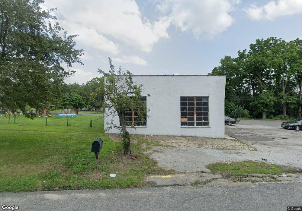
4425 S Main Rd Millville, NJ 08332
Estimated Value: $427,416
--
Bed
--
Bath
1,623
Sq Ft
$263/Sq Ft
Est. Value
About This Home
This home is located at 4425 S Main Rd, Millville, NJ 08332 and is currently estimated at $427,416, approximately $263 per square foot. 4425 S Main Rd is a home located in Cumberland County with nearby schools including Dr. William Mennies School, Landis Middle School, and Vineland Senior High School.
Ownership History
Date
Name
Owned For
Owner Type
Purchase Details
Closed on
Dec 21, 2021
Sold by
Kevin Reed
Bought by
Greenscape Properties Llc
Current Estimated Value
Home Financials for this Owner
Home Financials are based on the most recent Mortgage that was taken out on this home.
Original Mortgage
$375,000
Outstanding Balance
$334,720
Interest Rate
2.98%
Mortgage Type
Purchase Money Mortgage
Estimated Equity
$92,696
Purchase Details
Closed on
Apr 2, 1997
Sold by
Bender Ernest M
Bought by
Reed Kevin
Create a Home Valuation Report for This Property
The Home Valuation Report is an in-depth analysis detailing your home's value as well as a comparison with similar homes in the area
Home Values in the Area
Average Home Value in this Area
Purchase History
| Date | Buyer | Sale Price | Title Company |
|---|---|---|---|
| Greenscape Properties Llc | $191,666 | Beacon Title | |
| Reed Kevin | $125,000 | -- |
Source: Public Records
Mortgage History
| Date | Status | Borrower | Loan Amount |
|---|---|---|---|
| Open | Greenscape Properties Llc | $375,000 |
Source: Public Records
Tax History Compared to Growth
Tax History
| Year | Tax Paid | Tax Assessment Tax Assessment Total Assessment is a certain percentage of the fair market value that is determined by local assessors to be the total taxable value of land and additions on the property. | Land | Improvement |
|---|---|---|---|---|
| 2025 | $5,833 | $183,200 | $77,000 | $106,200 |
| 2024 | $5,833 | $183,200 | $77,000 | $106,200 |
| 2023 | $5,795 | $183,200 | $77,000 | $106,200 |
| 2022 | $5,622 | $183,200 | $77,000 | $106,200 |
| 2021 | $5,520 | $183,200 | $77,000 | $106,200 |
| 2020 | $5,362 | $183,200 | $77,000 | $106,200 |
| 2019 | $5,289 | $183,200 | $77,000 | $106,200 |
| 2018 | $5,150 | $183,200 | $77,000 | $106,200 |
| 2017 | $4,891 | $183,200 | $77,000 | $106,200 |
| 2016 | $4,719 | $183,200 | $77,000 | $106,200 |
| 2015 | $4,545 | $183,200 | $77,000 | $106,200 |
| 2014 | $4,298 | $183,200 | $77,000 | $106,200 |
Source: Public Records
Map
Nearby Homes
- 7 Whitaker Ct
- 8 Whitaker Ct
- 12 Whitaker Ct
- 5 Whitaker Ct
- 11 Whitaker Ct
- 19 Whitaker Ct
- 20 Whitaker Ct
- 24 Whitaker Ct
- 18 Whitaker Ct
- Millville Plan at Whitaker Walk
- 14 Whitaker Ct
- 16 Whitaker Ct
- 22 Whitaker Ct
- 12 Doughty Cir
- 3715 S Main Rd
- 505 N 2nd St
- 1216 Forest Dr
- 909 Barbara Terrace
- 910 Hill Ln
- 902 E St
- 29 .3 Cole Ave
- 0 S Main Rd
- 4418 S Main Rd
- 4455 Lincoln Ave
- 4396 S Main Rd
- 4435 Lincoln Ave
- 2134 Wheaton Ave
- 2132 Wheaton Ave
- 2125 Wheaton Ave
- 617 Doris Ave
- 2130 Wheaton Ave
- 0 Doris Ave
- 2115 Wheaton Ave
- 615 Doris Ave
- 613 Doris Ave
- 2116 Wheaton Ave
- 2110 Wheaton Ave
- 4259 S Main Rd
- 725 N Wade Blvd
- 2101 Wheaton Ave