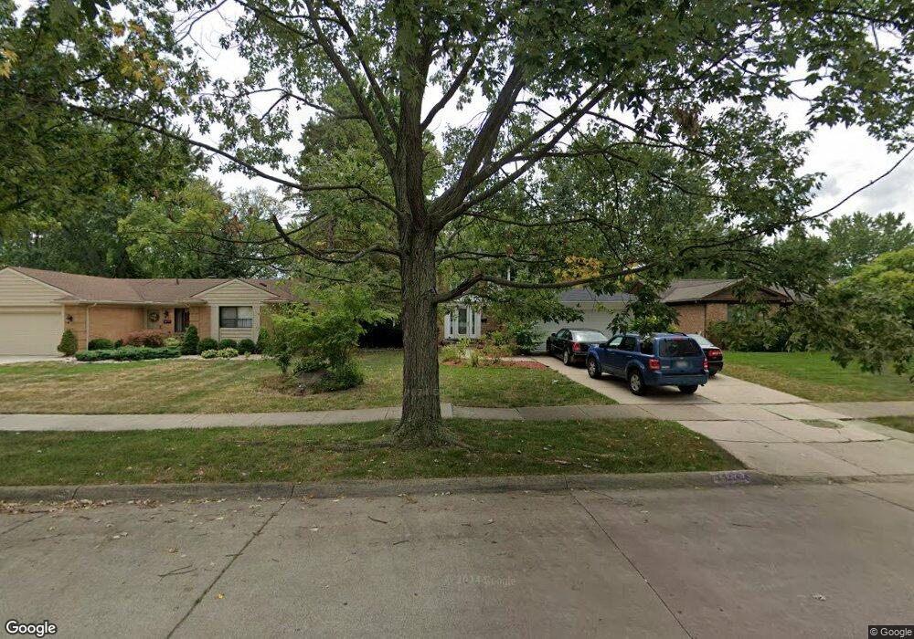
44273 S Umberland Cir Canton, MI 48187
Estimated Value: $357,000 - $454,000
--
Bed
2
Baths
1,814
Sq Ft
$227/Sq Ft
Est. Value
About This Home
This home is located at 44273 S Umberland Cir, Canton, MI 48187 and is currently estimated at $411,389, approximately $226 per square foot. 44273 S Umberland Cir is a home located in Wayne County with nearby schools including Canton High School, Discovery Middle School, and Salem High School.
Ownership History
Date
Name
Owned For
Owner Type
Purchase Details
Closed on
Jun 4, 2021
Sold by
Asper William A
Bought by
Irlt William Aaron Asper
Current Estimated Value
Purchase Details
Closed on
Apr 2, 2007
Sold by
Davidson Melinda S and Davidson Mark
Bought by
Asper William A
Purchase Details
Closed on
Oct 14, 2003
Sold by
Windle Larry M and Windle Susan L
Bought by
Davidson Mark
Create a Home Valuation Report for This Property
The Home Valuation Report is an in-depth analysis detailing your home's value as well as a comparison with similar homes in the area
Home Values in the Area
Average Home Value in this Area
Purchase History
| Date | Buyer | Sale Price | Title Company |
|---|---|---|---|
| Irlt William Aaron Asper | -- | None Available | |
| Asper William A | $238,000 | Multiple | |
| Davidson Mark | $244,000 | Metropolitan Title Company |
Source: Public Records
Tax History Compared to Growth
Tax History
| Year | Tax Paid | Tax Assessment Tax Assessment Total Assessment is a certain percentage of the fair market value that is determined by local assessors to be the total taxable value of land and additions on the property. | Land | Improvement |
|---|---|---|---|---|
| 2025 | $1,698 | $161,600 | $0 | $0 |
| 2024 | $1,698 | $153,700 | $0 | $0 |
| 2023 | $1,619 | $134,700 | $0 | $0 |
| 2022 | $5,461 | $124,700 | $0 | $0 |
| 2021 | $4,173 | $121,300 | $0 | $0 |
| 2020 | $4,151 | $114,700 | $0 | $0 |
| 2019 | $3,433 | $109,860 | $0 | $0 |
| 2018 | $1,376 | $100,420 | $0 | $0 |
| 2017 | $3,637 | $99,100 | $0 | $0 |
| 2016 | $3,152 | $95,700 | $0 | $0 |
| 2015 | $7,559 | $87,680 | $0 | $0 |
| 2013 | $7,323 | $78,370 | $0 | $0 |
| 2010 | -- | $76,480 | $35,750 | $40,730 |
Source: Public Records
Map
Nearby Homes
- 6907 Harvard Ln
- 6972 Harvard Ln
- 6986 Harvard Ln Unit 129
- 44018 Bannockburn Dr
- 43875 Leeann Ln
- 43783 Leeann Ln
- 835 Coldrose Way
- 44409 Newburyport Dr Unit 133
- 6877 Pittsford St
- 43764 Hanford Rd
- 44995 Quaker Hill Dr
- 45139 Indian Creek Dr
- 44585 Nantucket Dr
- 44999 N Spring Dr
- 43737 Westminister Way
- 6586 Carriage Hills Dr
- 44609 Meadowcreek Ln Unit 24
- 43625 Westminister Way
- 43425 Warren Rd
- 48590 Ford Rd
- 44181 S Umberland Cir
- 44287 S Umberland Cir
- 44167 S Umberland Cir Unit Bldg-Unit
- 44167 S Umberland Cir
- 44301 S Umberland Cir
- 44196 Leeann Ln Unit Bldg-Unit
- 44196 Leeann Ln
- 44153 S Umberland Cir
- 44210 Leeann Ln
- 44315 S Umberland Cir Unit Bldg-Unit
- 44315 S Umberland Cir
- 44184 Wiclif Ct
- 44280 Wiclif Ct
- 44168 Leeann Ln
- 44224 Leeann Ln
- 44139 S Umberland Cir
- 44154 Leeann Ln
- 44329 S Umberland Cir
- 44266 Wiclif Ct
- 44196 Wiclif Ct