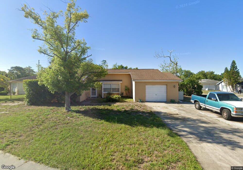
4428 Sail Dr New Port Richey, FL 34652
Estimated Value: $243,000 - $319,000
2
Beds
2
Baths
2,400
Sq Ft
$117/Sq Ft
Est. Value
About This Home
This home is located at 4428 Sail Dr, New Port Richey, FL 34652 and is currently estimated at $281,095, approximately $117 per square foot. 4428 Sail Dr is a home located in Pasco County with nearby schools including Mittye P. Locke Elementary School, Gulf Trace Elementary School, and Paul R. Smith Middle School.
Ownership History
Date
Name
Owned For
Owner Type
Purchase Details
Closed on
Aug 2, 2024
Sold by
Risola Samuel
Bought by
4428 Sail Land Trust and Our Family Times Llc
Current Estimated Value
Purchase Details
Closed on
Jun 19, 2015
Sold by
Sacco Robert M and Sacco Christina E
Bought by
Risola Samuel
Purchase Details
Closed on
Jul 29, 1999
Sold by
Cilluffo Anthony J and Cilluffo Angela
Bought by
Sacco Robert M
Home Financials for this Owner
Home Financials are based on the most recent Mortgage that was taken out on this home.
Original Mortgage
$75,900
Interest Rate
7.66%
Mortgage Type
New Conventional
Create a Home Valuation Report for This Property
The Home Valuation Report is an in-depth analysis detailing your home's value as well as a comparison with similar homes in the area
Home Values in the Area
Average Home Value in this Area
Purchase History
| Date | Buyer | Sale Price | Title Company |
|---|---|---|---|
| 4428 Sail Land Trust | $100 | None Listed On Document | |
| 4428 Sail Land Trust | $100 | None Listed On Document | |
| Risola Samuel | $45,900 | Pineywoods Title Llc | |
| Sacco Robert M | $80,000 | -- |
Source: Public Records
Mortgage History
| Date | Status | Borrower | Loan Amount |
|---|---|---|---|
| Previous Owner | Sacco Robert M | $75,900 |
Source: Public Records
Tax History Compared to Growth
Tax History
| Year | Tax Paid | Tax Assessment Tax Assessment Total Assessment is a certain percentage of the fair market value that is determined by local assessors to be the total taxable value of land and additions on the property. | Land | Improvement |
|---|---|---|---|---|
| 2025 | $3,726 | $298,065 | $33,060 | $265,005 |
| 2024 | $3,726 | $314,195 | $33,060 | $281,135 |
| 2023 | $3,491 | $128,840 | $0 | $0 |
| 2022 | $2,688 | $232,244 | $17,880 | $214,364 |
| 2021 | $2,233 | $162,918 | $14,455 | $148,463 |
| 2020 | $1,954 | $132,001 | $13,171 | $118,830 |
| 2019 | $1,886 | $131,352 | $13,171 | $118,181 |
| 2018 | $1,710 | $115,051 | $13,171 | $101,880 |
| 2017 | $1,461 | $82,620 | $9,271 | $73,349 |
| 2016 | $1,261 | $66,129 | $9,271 | $56,858 |
| 2015 | $594 | $51,675 | $0 | $0 |
| 2014 | -- | $55,202 | $9,271 | $45,931 |
Source: Public Records
Map
Nearby Homes
- 4424 Pelorus Dr
- 4423 Pelorus Dr Unit B
- 3832 Lanyard Ct
- 3838 Lanyard Ct Unit B
- 3862 Lighthouse Way
- 4446 Chart Ct
- 3847 Lighthouse Way
- 3926 Lighthouse Way Unit A
- 3707 Pinehurst Dr
- 3845 Edgemont Dr
- 3640 Connon Dr
- 4245 Crestfield Ave
- 4028 Davit Dr Unit 4028
- 4708 Salem Dr
- 4243 Stratfield Dr
- 4715 Manor Dr
- 3542 Connon Dr
- 3902 Glissade Dr
- 4325 Newbury Dr
- 4209 Stratfield Dr
- 4438 Sail Dr
- 3745 Penrick Dr
- 3739 Penrick Dr
- 3753 Penrick Dr
- 3730 Penrick Dr
- 4421 Sail Dr
- 4441 Sail Dr
- 3733 Penrick Dr
- 3746 Lighthouse Way
- 4449 Sail Dr
- 4407 Sail Dr
- 4430 Pelorus Dr Unit D
- 4430 Pelorus Dr
- 4430 Pelorus Dr Unit 4430
- 3740 Lighthouse Way
- 4440 Pelorus Dr Unit C
- 4440 Pelorus Dr Unit 4440
- 4440 Pelorus Dr
- 4432 Pelorus Dr
- 4422 Pelorus Dr