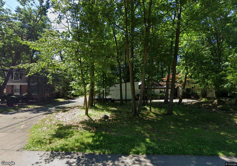
4429 Patrick Rd West Bloomfield, MI 48322
West Bloomfield Township NeighborhoodEstimated Value: $487,000 - $552,000
3
Beds
2
Baths
2,643
Sq Ft
$195/Sq Ft
Est. Value
About This Home
This home is located at 4429 Patrick Rd, West Bloomfield, MI 48322 and is currently estimated at $516,374, approximately $195 per square foot. 4429 Patrick Rd is a home located in Oakland County with nearby schools including Sheiko Elementary School, Brookfield Academy - West Bloomfield, and The Susan And Rabbi Harold Loss Ecc.
Ownership History
Date
Name
Owned For
Owner Type
Purchase Details
Closed on
Feb 5, 2004
Sold by
Herman Leonard E and Lusky Herman Shari F
Bought by
Lebow Michael J
Current Estimated Value
Home Financials for this Owner
Home Financials are based on the most recent Mortgage that was taken out on this home.
Original Mortgage
$270,275
Interest Rate
4.5%
Mortgage Type
Purchase Money Mortgage
Purchase Details
Closed on
Sep 26, 1994
Sold by
Robinson Terrence
Bought by
Herman Leonard E and Lusky-Herman Shari F
Home Financials for this Owner
Home Financials are based on the most recent Mortgage that was taken out on this home.
Original Mortgage
$161,500
Interest Rate
8.55%
Mortgage Type
New Conventional
Create a Home Valuation Report for This Property
The Home Valuation Report is an in-depth analysis detailing your home's value as well as a comparison with similar homes in the area
Home Values in the Area
Average Home Value in this Area
Purchase History
| Date | Buyer | Sale Price | Title Company |
|---|---|---|---|
| Lebow Michael J | $284,500 | -- | |
| Herman Leonard E | $170,000 | -- |
Source: Public Records
Mortgage History
| Date | Status | Borrower | Loan Amount |
|---|---|---|---|
| Previous Owner | Lebow Michael J | $270,275 | |
| Previous Owner | Herman Leonard E | $161,500 |
Source: Public Records
Tax History
| Year | Tax Paid | Tax Assessment Tax Assessment Total Assessment is a certain percentage of the fair market value that is determined by local assessors to be the total taxable value of land and additions on the property. | Land | Improvement |
|---|---|---|---|---|
| 2025 | $6,064 | $256,400 | $47,560 | $208,840 |
| 2024 | $3,157 | $238,890 | $0 | $0 |
| 2022 | $2,960 | $204,410 | $41,360 | $163,050 |
| 2021 | $5,695 | $178,640 | $0 | $0 |
| 2020 | $3,036 | $182,950 | $41,360 | $141,590 |
| 2018 | $5,420 | $157,210 | $40,740 | $116,470 |
| 2015 | -- | $123,270 | $0 | $0 |
| 2014 | -- | $110,140 | $0 | $0 |
| 2011 | -- | $115,490 | $0 | $0 |
Source: Public Records
Map
Nearby Homes
- 6076 Dunmore Dr
- 5865 Dunmore Ct
- 4623 Patrick Rd
- 5956 Pinecroft Dr
- 5731 Farmington Rd
- 4205 Pinehurst Dr
- 4819 Thorntree Dr
- 4817 Faircourt Dr
- 6322 Pepper Hill St Unit 62
- 6298 Aspen Ridge Blvd Unit 34
- 5634 Stratford Dr
- 6323 Potomac Cir Unit 22
- 6151 Orchard Lake Rd Unit 103
- 6610 Fieldstone Ct
- 6622 Fieldstone Ct
- 6651 Hearthside Ct Unit 1
- 5226 Brett Ct
- 3865 Stonecrest Rd
- 6821 Kindling Ct
- 5585 Culpepper Dr
- 4421 Patrick Rd
- 4461 Patrick Rd Unit Bldg-Unit
- 4461 Patrick Rd
- 6069 Pickwood Dr
- 6085 Pickwood Dr
- 6063 Pickwood Dr
- 4424 Patrick Rd
- 4411 Patrick Rd
- 4430 Patrick Rd
- 4489 Patrick Rd
- 4460 Patrick Rd
- 6057 Pickwood Dr
- 6111 Pickwood Dr
- 5962 Trotter Ln
- 4403 Patrick Rd
- 4406 Patrick Rd
- 6117 Pickwood Dr
- 4490 Patrick Rd
- 4521 Patrick Rd
- 6072 Pickwood Dr
Your Personal Tour Guide
Ask me questions while you tour the home.