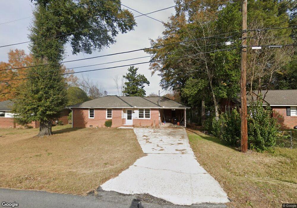
4429 Sims St Columbus, GA 31907
Eastern Columbus NeighborhoodEstimated Value: $98,679 - $116,000
3
Beds
1
Bath
1,018
Sq Ft
$105/Sq Ft
Est. Value
About This Home
This home is located at 4429 Sims St, Columbus, GA 31907 and is currently estimated at $106,670, approximately $104 per square foot. 4429 Sims St is a home located in Muscogee County with nearby schools including St. Mary's Road Magnet Academy, Rothschild Leadership Academy, and Kendrick High School.
Ownership History
Date
Name
Owned For
Owner Type
Purchase Details
Closed on
Oct 10, 2019
Sold by
2019 Castle Llc
Bought by
Syed Razie and Syed Family Tr
Current Estimated Value
Purchase Details
Closed on
Aug 13, 2019
Sold by
Deutsche Bank National Trust Co
Bought by
2019 Castle Llc
Purchase Details
Closed on
Mar 5, 2019
Sold by
Moore Joseph L
Bought by
Deutsche Bank National Trust Co Trustee
Create a Home Valuation Report for This Property
The Home Valuation Report is an in-depth analysis detailing your home's value as well as a comparison with similar homes in the area
Home Values in the Area
Average Home Value in this Area
Purchase History
| Date | Buyer | Sale Price | Title Company |
|---|---|---|---|
| Syed Razie | $24,075 | -- | |
| 2019 Castle Llc | $13,600 | -- | |
| Deutsche Bank National Trust Co Trustee | -- | -- |
Source: Public Records
Tax History Compared to Growth
Tax History
| Year | Tax Paid | Tax Assessment Tax Assessment Total Assessment is a certain percentage of the fair market value that is determined by local assessors to be the total taxable value of land and additions on the property. | Land | Improvement |
|---|---|---|---|---|
| 2025 | $1,093 | $27,912 | $6,068 | $21,844 |
| 2024 | $929 | $27,912 | $6,068 | $21,844 |
| 2023 | $975 | $24,748 | $6,068 | $18,680 |
| 2022 | $849 | $20,804 | $6,068 | $14,736 |
| 2021 | $509 | $12,448 | $6,068 | $6,380 |
| 2020 | $333 | $9,600 | $2,880 | $6,720 |
| 2019 | $816 | $19,920 | $6,068 | $13,852 |
| 2018 | $816 | $19,920 | $6,068 | $13,852 |
| 2017 | $113 | $19,920 | $6,068 | $13,852 |
| 2016 | $115 | $16,064 | $2,800 | $13,264 |
| 2015 | $46 | $16,064 | $2,800 | $13,264 |
| 2014 | $47 | $16,064 | $2,800 | $13,264 |
| 2013 | -- | $16,064 | $2,800 | $13,264 |
Source: Public Records
Map
Nearby Homes
- 4534 Sentry St
- 4422 Pate Dr
- 4516 Sims St
- 4437 St Marys Rd
- 4414 Curry St
- 4801 Allen St
- 392 Olsen Ave
- 4846 Maplewood Dr
- 391 & 401 Victoria Dr
- 410 McCartha Dr
- 4930 Capricorn Ct
- 59 Apollo Dr
- 4145 Braddock Dr
- 418 Henson Ave
- 5003 Shirley Ann Dr
- 4917 Brightstar Ln
- 5021 Shirley Ann Dr
- 4408 Ridgefield Dr
- 4422 Debolt Ct
- 4201 Valley Crest Dr