44294 Kentmere Ct Ashburn, VA 20147
Estimated Value: $1,384,000 - $1,501,000
4
Beds
4
Baths
3,855
Sq Ft
$369/Sq Ft
Est. Value
About This Home
This home is located at 44294 Kentmere Ct, Ashburn, VA 20147 and is currently estimated at $1,422,443, approximately $368 per square foot. 44294 Kentmere Ct is a home located in Loudoun County with nearby schools including Discovery Elementary School, Farmwell Station Middle School, and Broad Run High School.
Ownership History
Date
Name
Owned For
Owner Type
Purchase Details
Closed on
Mar 27, 2013
Sold by
Nvr Inc
Bought by
Johnston Robert and Johnston Lance Angela
Current Estimated Value
Home Financials for this Owner
Home Financials are based on the most recent Mortgage that was taken out on this home.
Original Mortgage
$600,000
Outstanding Balance
$425,240
Interest Rate
3.56%
Mortgage Type
New Conventional
Estimated Equity
$997,203
Create a Home Valuation Report for This Property
The Home Valuation Report is an in-depth analysis detailing your home's value as well as a comparison with similar homes in the area
Home Values in the Area
Average Home Value in this Area
Purchase History
| Date | Buyer | Sale Price | Title Company |
|---|---|---|---|
| Johnston Robert | $977,677 | -- |
Source: Public Records
Mortgage History
| Date | Status | Borrower | Loan Amount |
|---|---|---|---|
| Open | Johnston Robert | $600,000 |
Source: Public Records
Tax History Compared to Growth
Tax History
| Year | Tax Paid | Tax Assessment Tax Assessment Total Assessment is a certain percentage of the fair market value that is determined by local assessors to be the total taxable value of land and additions on the property. | Land | Improvement |
|---|---|---|---|---|
| 2025 | $10,631 | $1,320,660 | $351,600 | $969,060 |
| 2024 | $10,597 | $1,225,120 | $351,600 | $873,520 |
| 2023 | $10,176 | $1,163,000 | $351,600 | $811,400 |
| 2022 | $8,787 | $987,320 | $301,600 | $685,720 |
| 2021 | $9,052 | $923,690 | $271,600 | $652,090 |
| 2020 | $8,831 | $853,270 | $226,600 | $626,670 |
| 2019 | $8,513 | $814,660 | $226,600 | $588,060 |
| 2018 | $8,354 | $769,990 | $226,600 | $543,390 |
| 2017 | $8,595 | $763,990 | $226,600 | $537,390 |
| 2016 | $9,101 | $794,870 | $0 | $0 |
| 2015 | $8,850 | $553,130 | $0 | $553,130 |
| 2014 | $9,359 | $592,310 | $0 | $592,310 |
Source: Public Records
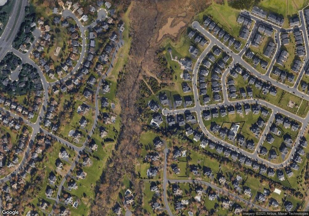
Map
Nearby Homes
- 21314 Fultonham Cir
- 21252 Park Grove Terrace
- 21312 Lord Nelson Terrace
- 44289 Suscon Square
- 44211 Tippecanoe Terrace
- 44248 Suscon Square
- 21376 Clappertown Dr
- 44135 Tippecanoe Terrace
- 44310 Silkworth Terrace
- 44485 Chamberlain Terrace Unit 200
- 20961 Cohasset Terrace
- 44383 Agawam Terrace
- 43877 Sandburg Square
- 21250 Dubois Ct
- 44367 Ladiesburg Place
- 44589 York Crest Terrace Unit 300
- 43791 Steinbeck Square
- 21085 Carthagena Ct
- 43842 Artsmith Terrace
- 43800 Stonebridge Dr
- 44295 Kentmere Ct
- 44298 Kentmere Ct
- 44299 Kentmere Ct
- 44302 Kentmere Ct
- 44303 Kentmere Ct
- 44277 Lord Fairfax Place
- 44345 Stone Roses Cir
- 44329 Stone Roses Cir
- 44325 Stone Roses Cir
- 44349 Stone Roses Cir
- 21316 Cameron Hunt Place
- 21320 Cameron Hunt Place
- 44281 Lord Fairfax Place
- 44280 Lord Fairfax Place
- 44358 Hempland Dr
- 44332 Stone Roses Cir
- 21312 Cameron Hunt Place
- 44353 Stone Roses Cir
- 44328 Stone Roses Cir
- 44344 Stone Roses Cir